
This is the primary coastal description and set of waypoints for the area between Slyne Head and Erris Head. The detailed coastal description may be used by those planning to come closer inshore or to approach one of the passage havens that are listed along the length of the route. The sequence of description is from south to north or coastal clockwise passing:

- • Inside High Island
- • Inside Inishbofin
- • Inside Inishdalla and Inishturk
- • Outside Clare Island
- • Outside Bills Rock
- • Outside Achill Island
- • Outside Inishkea Island
- • Outside Inishglora Island
- • Outside Eagle Island
Why sail this route?
This is a coasting route to making it possible to easily visit the many inlets that lie along this coastal stretch of water. In thick weather, a vessel should avoid this route and head out to sea. Some dangers to navigation lie as far as six miles offshore.
What are the navigational notes?

The west coast of Ireland between Slyne Head and Erris Head presents features similar deeply indented features to that of the south of it. The entire distance of 55 miles, is covered by outlying rocks and islands of which Inishshark, Inishbofin, Inishturk and Achill Island form conspicuous features. Achill Island is the largest island off the Irish coast with a remarkable north side peak that rises to an elevation in excess of 610 metres. The off lying islands provide excellent position fixing for those taking the offshore route. This runs north from Slyne Head to pass west of Black Rock, then northeast to pass to the northwest of Eagle Island.
Those taking an inshore route will find the deeply indented coast provides a host of bays and inlets with excellent shelter and magnificent scenery. Within this stretch are the beautiful havens of Clifden, Cleggan Bay, and the Killaries, along with several creeks where fishing boats and leisure craft find shelter. Although entirely exposed to the Atlantic long stretches of this coastline are fronted by islands and rocks that provide some measure of protection from the Atlantic swell and the inshore rout can save a considerable distance.
Numerous dangers, however, impede the approach to them, rendering the exercise of extreme caution necessary to ensure their safe navigation. A keen watch should be maintained as there are lobster pots on many of the rocks. Vessels operating in thick weather, between Slyne Head and Erris Head, would find it advisable to keep about two miles west of the outlying island and particularly Inishshark Island.
The complete course is 65.58 miles from the waypoint '3 miles west of Slyne Head' to '1½ miles north of Erris Head' tending in a northerly direction (reciprocal southerly).
3 miles west of Slyne Head, 53° 23.997' N, 010° 19.128' W
Slyne Head is the western extremity of the 23-metre high Illaunamid, the outermost island of a chain that extends about two miles west by southwest from the coast. A light, Fl (2) 15s, is shown from a conspicuous 24 metres high tower standing on the island. The prominent ruins of a disused light-tower stand close south of the light.
► Next waypoint: 8.88 miles, course ⇓ 18.18°T (reciprocal ⇑ 198.18°T)
300 metres east of High Island Breaker, 53° 32.429' N, 010° 14.467' W
Passing clear of High Island Breaker 1/2 a mile south of the east end of High Island leading into a southern approach on High Island Sound. This is a deep water channel between High Island and Friar Island. High Island lies about 2 miles west of Aughrus Point, has several old buildings on its slopes,
and rises to an elevation of 59 metres. Friar Island, 23 metres high, lies about 1/2 a mile to the east and the largest of a group of four islets. The sound is clear of dangers in the fairway although the sea can run high on both sides.
► Next waypoint: 0.79 miles, course ⇓ 0.95°T (reciprocal ⇑ 180.95°T)
North of High Island Sound, 53° 33.220' N, 010° 14.445' W
Northern alignment for High Island Sound.
► Next waypoint: 1.55 miles, course ⇓ 34.92°T (reciprocal ⇑ 214.92°T)
½ a mile northwest of Cuddoo Rock, 53° 34.488' N, 010° 12.954' W
Passing northwest of Cuddoo Rock a group of rocks some of which are always above water and others just awash.
► Next waypoint: 4.44 miles, course ⇓ 61.22°T (reciprocal ⇑ 241.22°T)
 Slyne Head
 , is distinguished by an isolated conical hill, 38 metres high, and forms a conspicuous feature of this low reefy shore. Dangerous reefs, on which the sea breaks heavily in bad weather, extend from Knock Point in a northerly direction; beyond which, at the distance of 1.75 miles from the point, is Mweem More, or Big Breaker Shoal, with 6.4 metres water over it.
 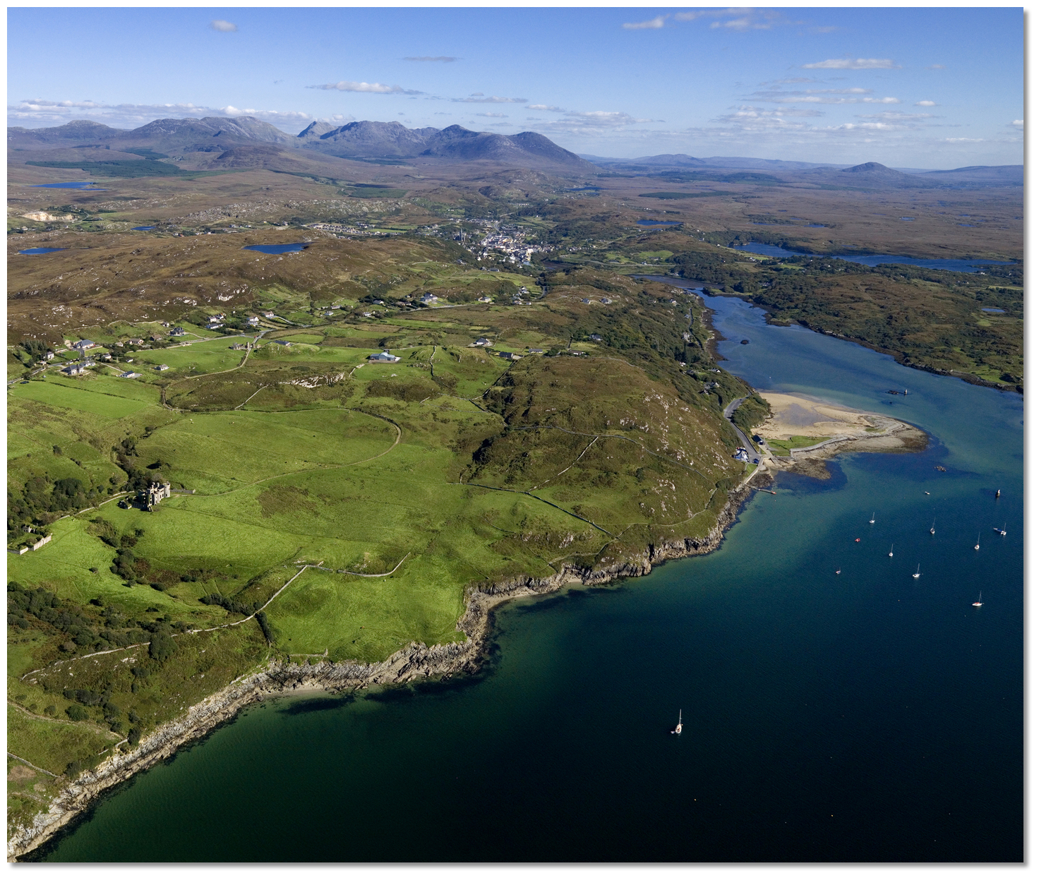 Clifden Castle, Clifden Boat Club and the tidal inlet leading up to Clifden
 Clifden Quay
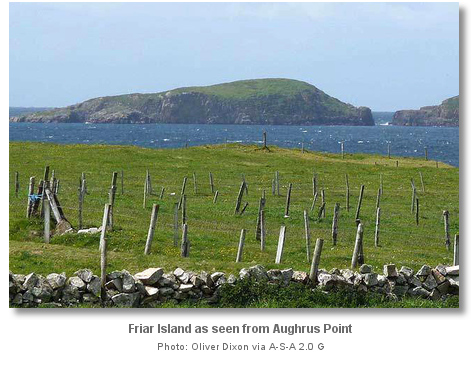

 Ballynakill Harbour
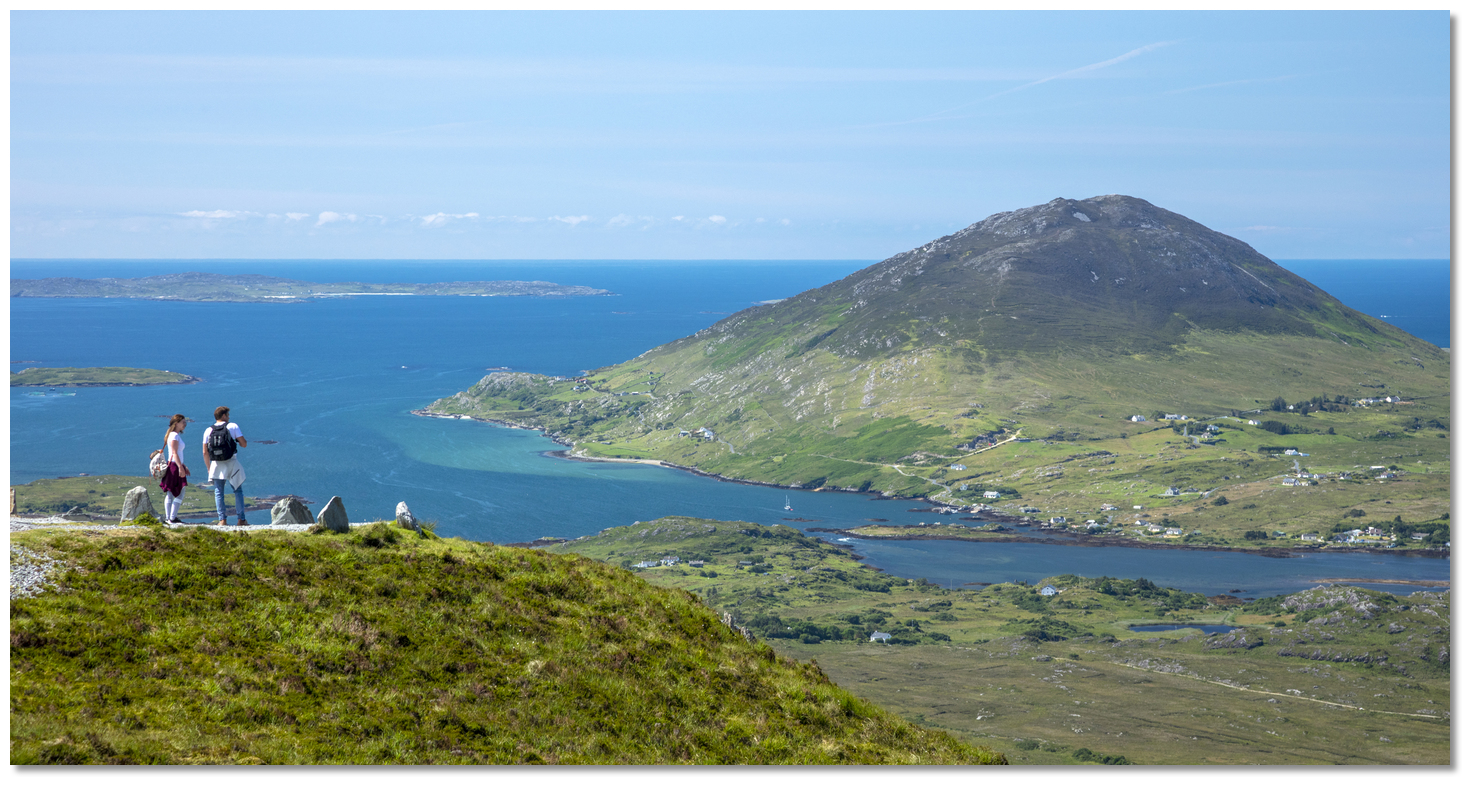 Tully Mountain rising from the sea at the entrance to Ballynakill Harbour
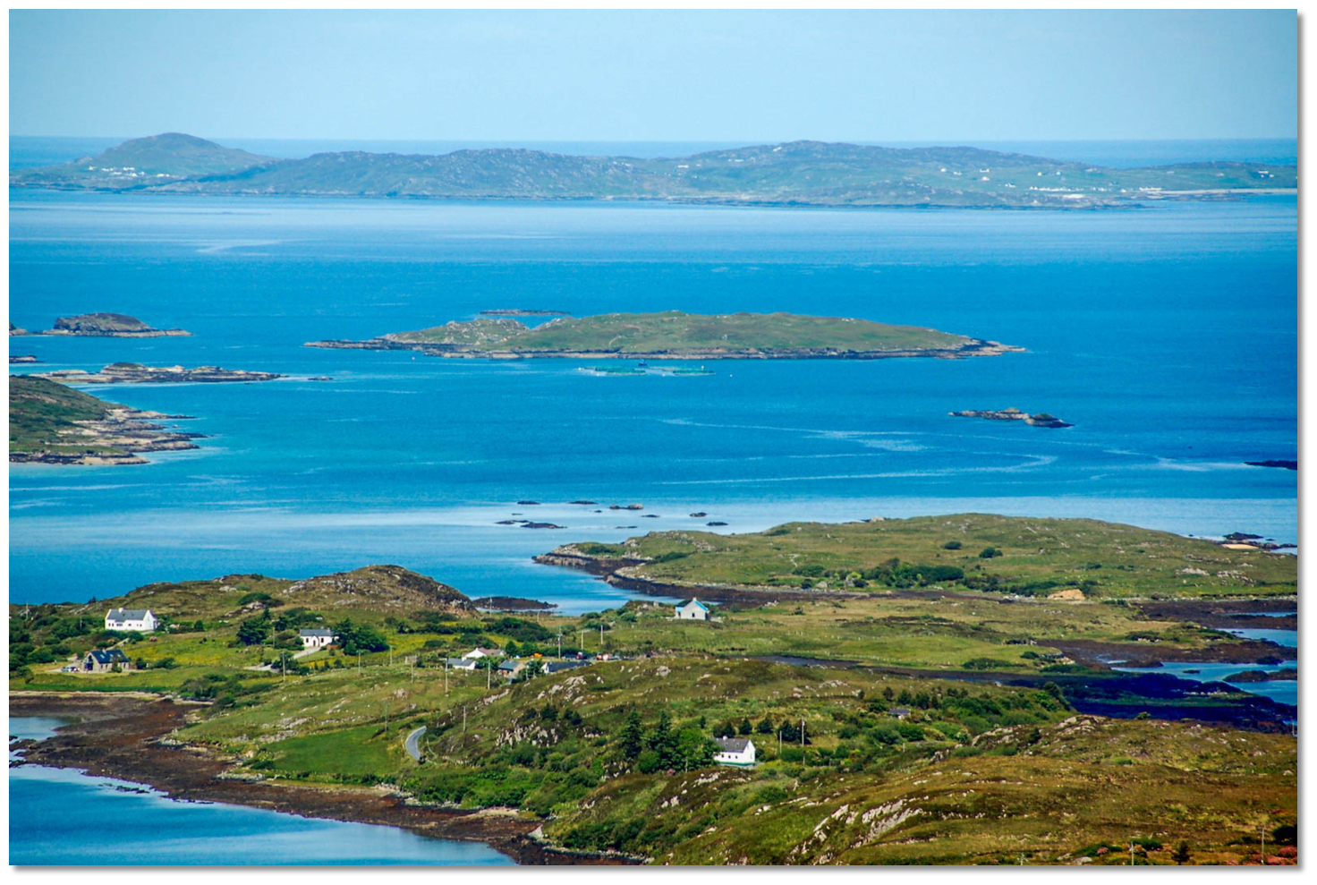 The anchoring area behind Freaghillaun South
 At anchor in tranquil Fahy Bay
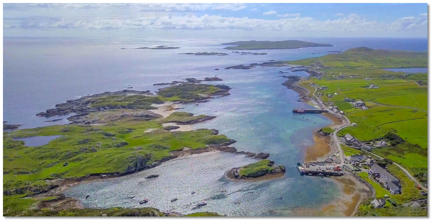
 Inishbofin as seen from the northwest
 Bofin Harbour as seen from the east
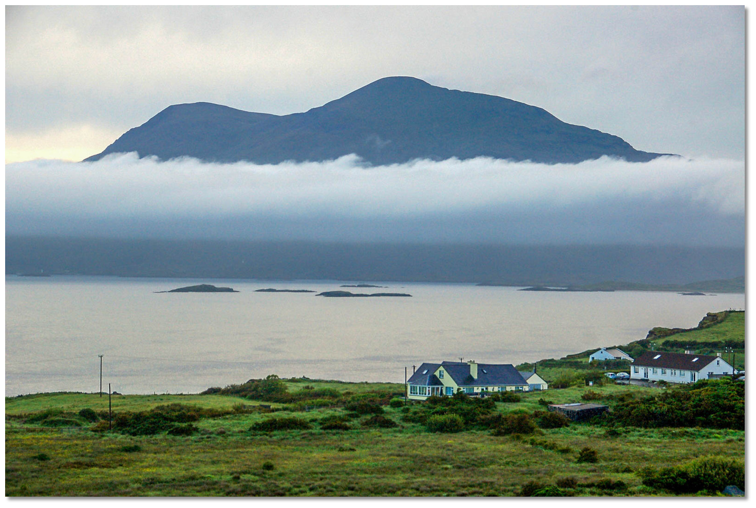 Mighty Mweelrea and the outliers as seen from Inishbofin at dawn
 The long Fjord like Killary Harbour
 Killary Harbour alignment marks, Doonee Islet with Inishbarna Islet rear
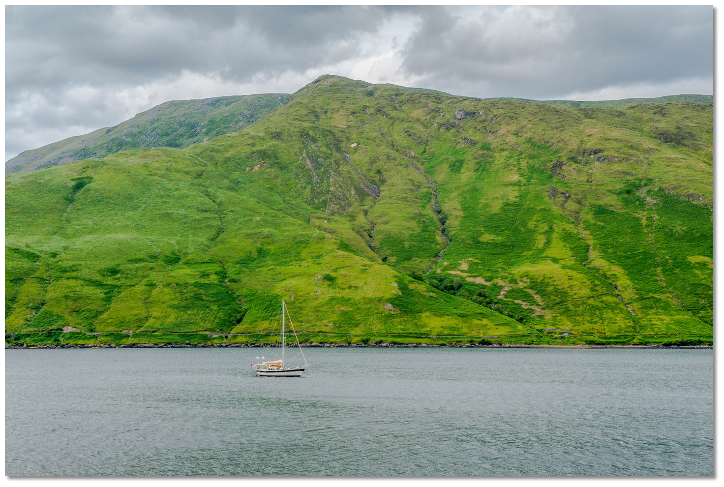 Yacht anchored in Killary Harbour
 Inishturk and Inishdalla as seen from Inishbofin
 Clew Bay seen from Croagh Patrick Mountain
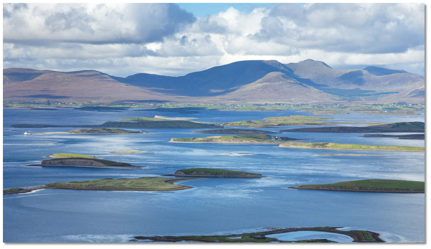 Inishgort Lighthouse and its remote islands and intricate channels behind
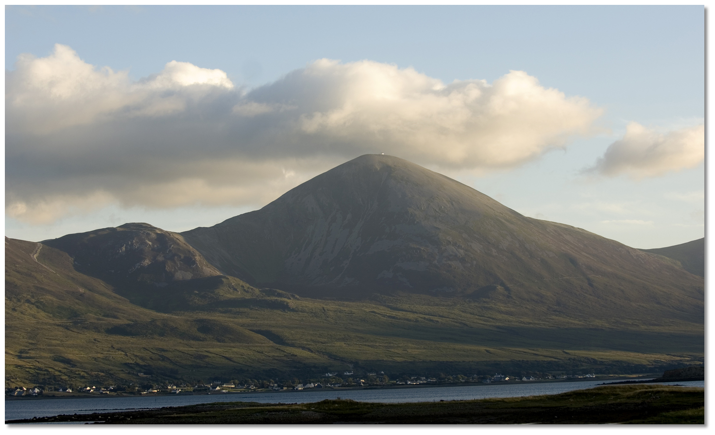 Croagh Patrick Mountain
 Clare Island seen from Croagh Patrick Mountain
 Clare Island Lighthouse
 Clare Island Harbour overlooked by Grainne Mhaol's Castle
 Inishgort Lighthouse leads into the channels between the islands of Clew Bay
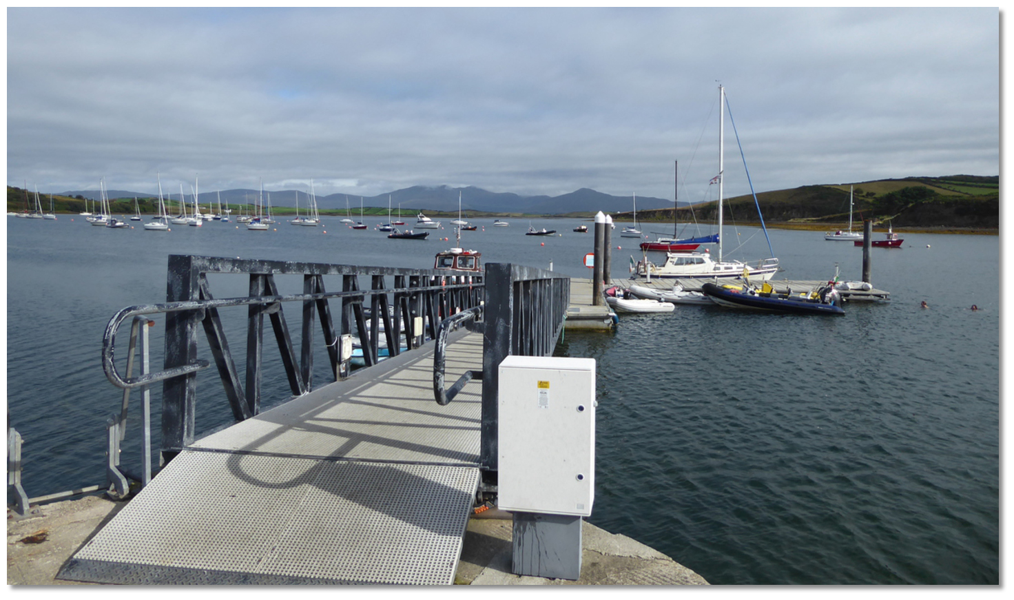 Rosmoney Jetty
 The view northwest from Ashleam Point over Ashleam Bay
 Keel Bay
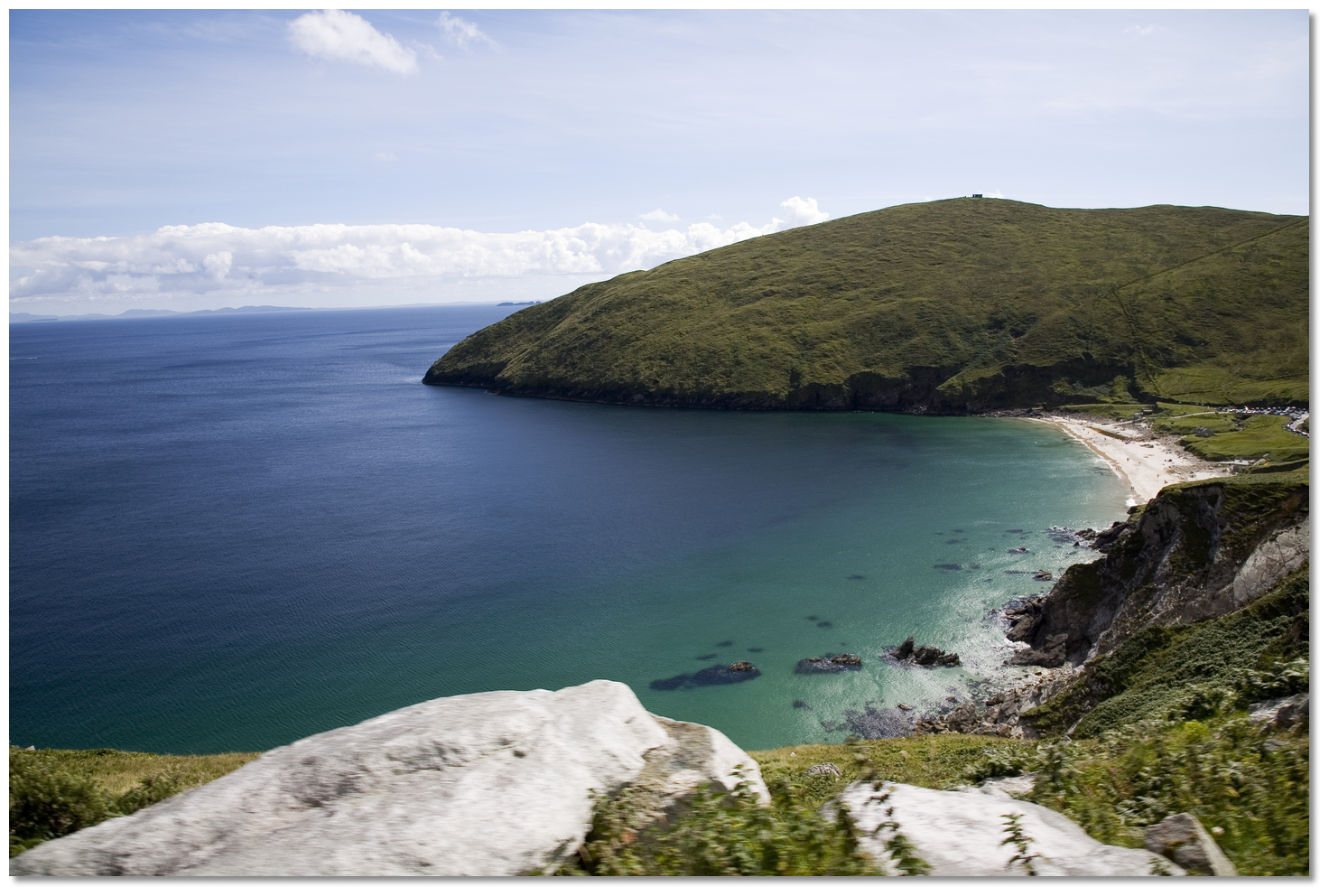 Keem Bay, Achill
 Keem Bay, Achill
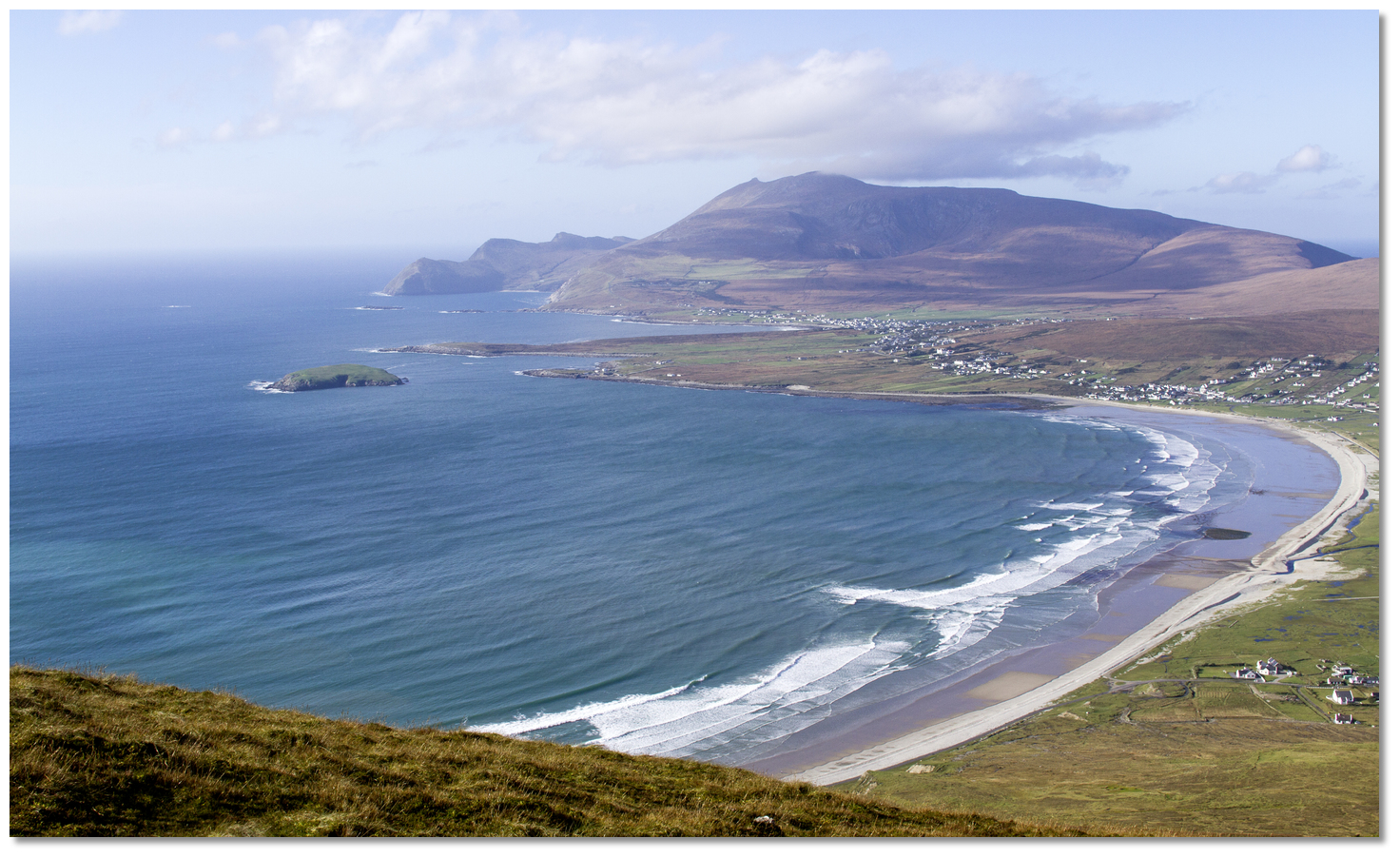
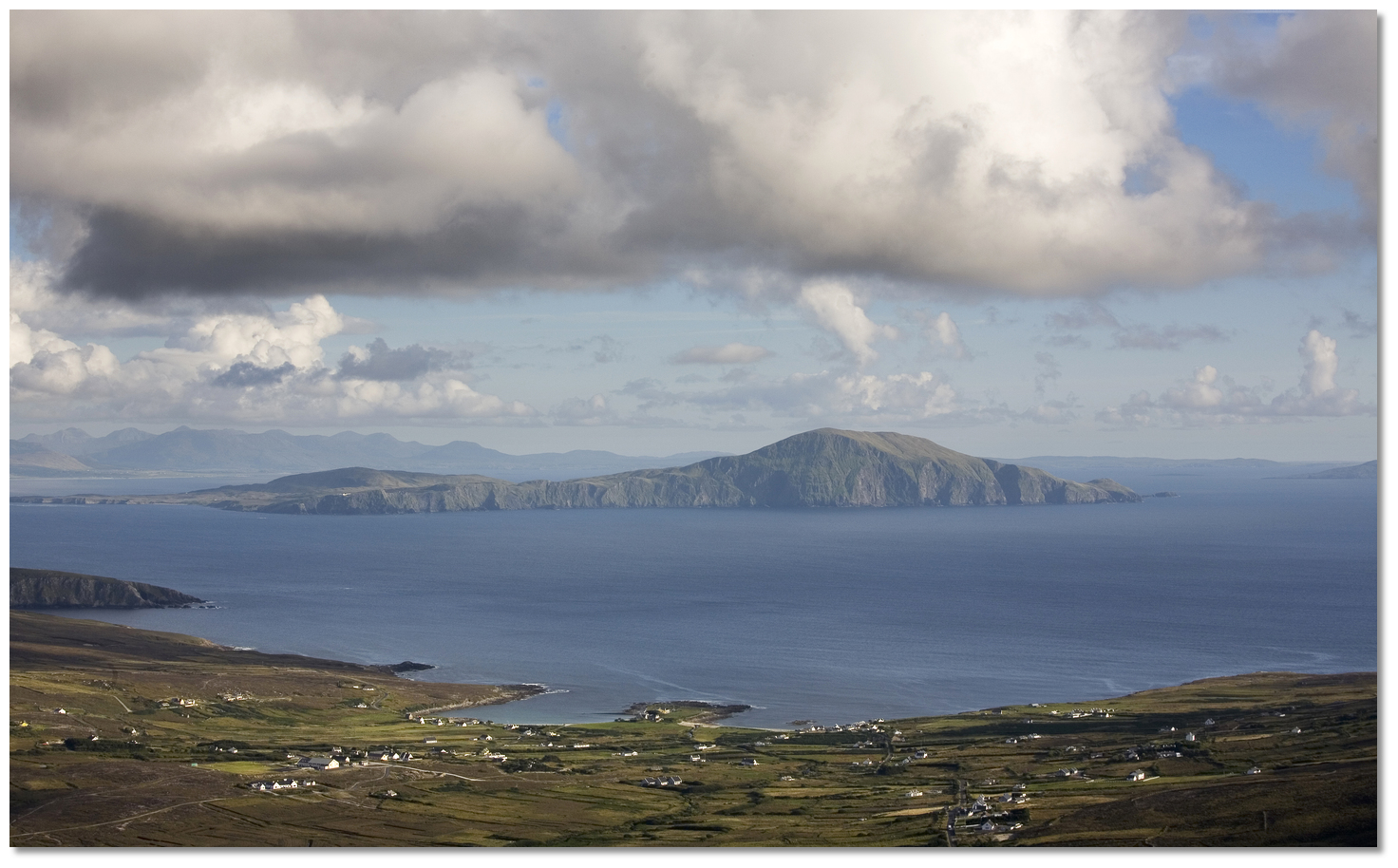 Achill Island as seen from the north

 Blacksod Pier situated in the Southern end of the Mullet Peninsula
 Blacksod Lighthouse
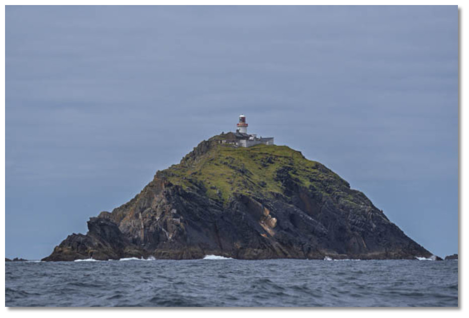 Black Rock
 Duvillaun's as seen from Inishkea Islands
_with_black_rock_island_seen_beyond_gaghta_and_leamaereha.jpg) Duvillaun's (left) with Black Rock Island seen beyond Gaghta and Leamaereha
Duvillaun's (left) with Black Rock Island seen beyond Gaghta and Leamaereha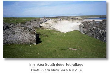
 Mullet Peninsula left with the Inishkeas seen offshore
