
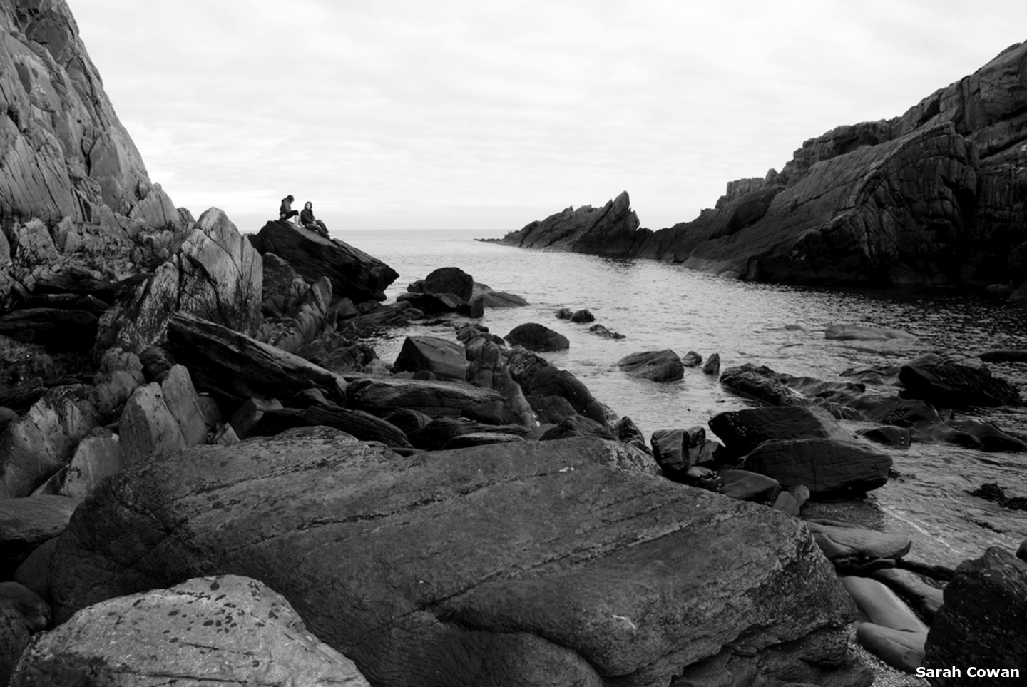
Portnocker is a small bay situated on the north coast of Ireland, close east of Inishowen Head and outside the entrance to Lough Foyle. The bay offers an anchorage off the beach in rugged scenic surroundings.
Portnocker is an exposed anchorage which is best in settled conditions or light offshore winds, and a comfortable overnight stop is fairly unlikely. The location requires attentive navigation with daylight access. Tidal streams may be occasionally strong outside the bay but Portnocker is out of the run of the tide and is accessible at all states of the tide.


Keyfacts for Portnocker


Last modified
July 19th 2018 Summary
An exposed location with attentive navigation required for access.Facilities


Nature


Considerations

Position and approaches

Expand to new tab or fullscreen
Haven position
 55° 13.870' N, 006° 55.490' W
It is approximately midway between Dungaree Point and Inishowen Head, just inside the 5 metres contour off Portnocker beach.
What are the initial fixes?
The following waypoints will set up a final approach:(i) Lough Foyle North Channel Initial Fix
 55° 14.155' N, 006° 53.700' W
One mile east of Inishowen Head and 400 metres northwest of Red Tuns Light (port hand) Buoy F1. R.3s. It is set on the 222° line of bearing of the Martello tower on Magilligan Point that leads into the North Channel.
(ii) Lough Foyle South Channel Initial Fix
55° 11.760' N, 006° 57.084' WMidway between the shore and the southern edge of the Tuns Bank in the narrowest part of the South Channel in approximately 10 metres of water.




What are the key points of the approach?
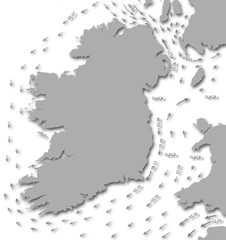
Offshore details are available in the northeast Ireland’s Coastal Overview for Malin Head to Strangford Lough  .
.
.- Lough Foyle’s approaches, the run up the lough to the River Foyle and beyond are detailed in the Foyle Port Marina (Derry City)
 entry.
 - The anchorage will be found halfway between the lighthouse, on Dunagree Point, and Inishowen Head to the north of Cooladiven.
Not what you need?
Click the 'Next' and 'Previous' buttons to progress through neighbouring havens in a coastal 'clockwise' or 'anti-clockwise' sequence. Below are the ten nearest havens to Portnocker for your convenience.
Ten nearest havens by straight line charted distance and bearing:
- White Bay - 0.2 nautical miles S
- Portkill - 0.6 nautical miles NNW
- Cornashamma Bay - 1.4 nautical miles SW
- Silver Strand - 1.9 nautical miles SW
- Greencastle - 2.7 nautical miles SW
- Magilligan Point - 2.9 nautical miles SSW
- Kinnagoe Bay - 3.3 nautical miles WNW
- Moville - 4.8 nautical miles SW
- Carrickarory Pier - 5.4 nautical miles SW
- Tremone Bay - 5.6 nautical miles WNW
These havens are ordered by straight line charted distance and bearing, and can be reordered by compass direction or coastal sequence:
- White Bay - 0.2 miles S
- Portkill - 0.6 miles NNW
- Cornashamma Bay - 1.4 miles SW
- Silver Strand - 1.9 miles SW
- Greencastle - 2.7 miles SW
- Magilligan Point - 2.9 miles SSW
- Kinnagoe Bay - 3.3 miles WNW
- Moville - 4.8 miles SW
- Carrickarory Pier - 5.4 miles SW
- Tremone Bay - 5.6 miles WNW


How to get in?

 Lough Foyle’s approaches, as detailed in the Foyle Port Marina (Derry City) entry, provide general approach directions to the area.
The anchorage is situated halfway between the lighthouse on Dunagree Point, and Inishowen Head. Vessels rounding Dungaree Point should keep well clear of the point as it extends to a rock beneath the surface 100 metres out. Pass White Bay, to port, until the 2.7 metres high Cooladiven Islets on the north side of White Bay are passed abeam.
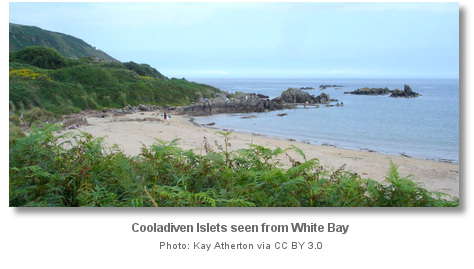 Pass Cooladiven to the north and anchor according to draft in sand. Land on the beach by tender.
Why visit here?
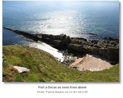
Port-a-Doris, meaning ‘Port of the Door’ is a deep slot at the foot of the Inishowen headland. The cove is accessible only at low tide through a natural door-like-passage in the cliff off Port-a-Doris strand, and hence the cove’s name. Once through the natural door arch, a fairytale-like secluded cove presents itself littered with Shroove pebbles. The lovely cove is a strange and enchanting place to all who visit. Climbers find Port-a-Doris’s northwest face or crag as the locations most attractive feature, and it is a very popular challenge.
From a sailing perspective, Portnocker is the most northerly anchorage around the east side of Inishowen Head outside Lough Foyle. As such it provides good passage anchorages for boats en route east or west looking for a lunch stop, or for an interesting shore visit to bridge a tide.

What facilities are available?
Portnocker has no facilities and the nearest supplies can be found in the separately covered fishing village of Greencastle or the small town of Moville. An alternative is the small village of Stroove a few miles north of the village of Greencastle off the R238.Any security concerns?
Never an issue known to have occurred to a vessel anchored at Portnocker.With thanks to:
Bill McCann, Londonderry Harbour Master. Photography with thanks toAndy McInroy, Sarah Cowan, Kay Atherton and Patrick Mackie.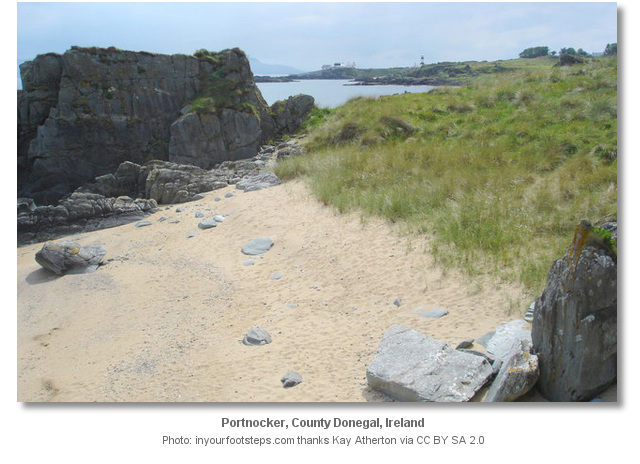


About Portnocker
Port-a-Doris, meaning ‘Port of the Door’ is a deep slot at the foot of the Inishowen headland. The cove is accessible only at low tide through a natural door-like-passage in the cliff off Port-a-Doris strand, and hence the cove’s name. Once through the natural door arch, a fairytale-like secluded cove presents itself littered with Shroove pebbles. The lovely cove is a strange and enchanting place to all who visit. Climbers find Port-a-Doris’s northwest face or crag as the locations most attractive feature, and it is a very popular challenge.
From a sailing perspective, Portnocker is the most northerly anchorage around the east side of Inishowen Head outside Lough Foyle. As such it provides good passage anchorages for boats en route east or west looking for a lunch stop, or for an interesting shore visit to bridge a tide.
Other options in this area
Click the 'Next' and 'Previous' buttons to progress through neighbouring havens in a coastal 'clockwise' or 'anti-clockwise' sequence. Alternatively here are the ten nearest havens available in picture view:
Coastal clockwise:
White Bay - 0.1 miles SCornashamma Bay - 0.9 miles SW
Silver Strand - 1.2 miles SW
Greencastle - 1.7 miles SW
Moville - 3 miles SW
Coastal anti-clockwise:
Portkill - 0.4 miles NNWKinnagoe Bay - 2 miles WNW
Tremone Bay - 3.4 miles WNW
Culdaff Bay - 5.5 miles WNW
Portmore - 9.9 miles NW
Navigational pictures
These additional images feature in the 'How to get in' section of our detailed view for Portnocker.


| Detail view | Off |
| Picture view | On |
 A photograph is worth a thousand words. We are always looking for bright sunny photographs that show this haven and its identifiable features at its best. If you have some images that we could use please upload them here. All we need to know is how you would like to be credited for your work and a brief description of the image if it is not readily apparent. If you would like us to add a hyperlink from the image that goes back to your site please include the desired link and we will be delighted to that for you.
Add your review or comment:
Please log in to leave a review of this haven.
Please note eOceanic makes no guarantee of the validity of this information, we have not visited this haven and do not have first-hand experience to qualify the data. Although the contributors are vetted by peer review as practised authorities, they are in no way, whatsoever, responsible for the accuracy of their contributions. It is essential that you thoroughly check the accuracy and suitability for your vessel of any waypoints offered in any context plus the precision of your GPS. Any data provided on this page is entirely used at your own risk and you must read our legal page if you view data on this site. Free to use sea charts courtesy of Navionics.