
_stitch.jpg)
Blindstrand Bay is a good anchorage that is well sheltered from the seaway from south round through west to west-northwest. The problem with the outer anchorages of Courtmacsherry Bay is that the land is not very high on the western shores and can be exposed to wind. Access is straightforward at any stage of the tide as the bay itself is free of outlying dangers and gradually shelves up to its head.

Keyfacts for Blindstrand Bay
Facilities

Nature


Considerations
Protected sectors

Approaches

Shelter
Last modified
April 6th 2021 Summary
A good location with straightforward access.Facilities
Nature
Considerations
Position and approaches

Expand to new tab or fullscreen
Haven position
 51° 36.650' N, 008° 40.985' W
Within the 3 metre contour on the south side of the bay beneath Barry Point.
What is the initial fix?
The following Blindstrand Bay initial fix will set up a final approach:
 51° 36.954' N, 008° 39.686' W


What are the key points of the approach?
Offshore details are available in southwestern Ireland’s Coastal Overview for Cork Harbour to Mizen Head  and seaward approaches can be found in Courtmacsherry Harbour
  .
.
and seaward approaches can be found in Courtmacsherry Harbour . Not what you need?
Click the 'Next' and 'Previous' buttons to progress through neighbouring havens in a coastal 'clockwise' or 'anti-clockwise' sequence. Below are the ten nearest havens to Blindstrand Bay for your convenience.
Ten nearest havens by straight line charted distance and bearing:
- Broadstrand Bay - 0.6 nautical miles NW
- Seven Heads Bay - 1.4 nautical miles SSW
- Courtmacsherry - 1.8 nautical miles NW
- Coolmain Bay - 1.9 nautical miles N
- Dunworly Bay - 3.4 nautical miles WSW
- Holeopen Bay West - 5 nautical miles E
- Holeopen Bay East - 5.6 nautical miles E
- Clonakilty Harbour (Ring) - 6.2 nautical miles W
- Sandy Cove - 7.3 nautical miles ENE
- Castlepark Marina - 8.1 nautical miles NE
These havens are ordered by straight line charted distance and bearing, and can be reordered by compass direction or coastal sequence:
- Broadstrand Bay - 0.6 miles NW
- Seven Heads Bay - 1.4 miles SSW
- Courtmacsherry - 1.8 miles NW
- Coolmain Bay - 1.9 miles N
- Dunworly Bay - 3.4 miles WSW
- Holeopen Bay West - 5 miles E
- Holeopen Bay East - 5.6 miles E
- Clonakilty Harbour (Ring) - 6.2 miles W
- Sandy Cove - 7.3 miles ENE
- Castlepark Marina - 8.1 miles NE

Chart

What's the story here?
 Blindstrand Bay as seen from the west
Image: Michael Harpur
Blindstrand Bay lies on the western shore of Courtmacsherry Bay that is entered between Seven Heads and the Old Head of Kinsale. The secluded bay is situated 2¾ miles northward of Seven Heads and is entered between Barry’s Point and Quarry Point situated 800 metres northwest of the former.
Tucked in under the steep-too Barry’s Point, Blindstrand Bay offers good protection from southwesterly winds. The outer Horse Rock tends to break up any wrap-around swell making the anchorage comfortable. Likewise, it affords good shelter from westerly conditions albeit without much air cover. The northwest corner of the adjacent Broadstrand Bay is the superior anchoring area during northwesterly conditions.
How to get in?
 Blindstrand Bay approached through Courtmacsherry Bay
Image: Michael Harpur
 Use southwestern Ireland’s coastal overview for Cork Harbour to Mizen Head for coastal planning and for Courtmacsherry Harbour for seaward approaches. The key is to pass to the Northeast of Horse Rock and after this, there are no further offshore dangers on the approach to either of these adjacent bays. From the Courtmacsherry Harbour Initial Fix, Horse and Foal Rocks will be clearly visible.
  The distinctive hump of Horse Rock
Horse Rock, and its close-lying Foal Rock, lies a ⅓ of a mile off Barry's Point and dries to 3.6 metres. It is usually visible except for at high water springs when a breaker may be expected. If uncertain of the position of Horse Rock progress a little further northward before turning to address Blindstrand Bay. At night the Wood Point Light, which provides a white sector between 315° and 332°, keeps a vessel clear of the Horse Rock and the dangers in the middle of the bay.
 Horse Rock breaking as seen from within Blindstrand Bay
Image: Burke Corbett
 From the Blindstrand Bay Initial Fix steer westward into the bay passing to the north of Horse Rock. Then proceed to pass to the north of Barry’s Point and into the bay. The bay gradually shelves to its head and dries to a line south of Quarry Point.
  The slip at Coolbaun as seen from the anchoring area
Image: Burke Corbett
Anchor according to draft in sand where good holding will be found. In southerly quadrant winds, the best protection will be found under Barry’s Point that is steep-too and offers some wind protection. Land at the beach or at the slip in Coolbaun.Why visit here?
Blindstrand Bay is a beautiful secluded bay overlooked by the little fishing hamlet of Coolbaun. The bay is thought to have got its name for being a hidden recess that coasters approaching Courtmacsherry from the southwest would not see. This made it the perfect location for pirates to lie in wait to, literally, 'blindside' a merchant ship that would dare not run off into the exposed Courtmacsherry Bay with the dangerous rocks that encumber it.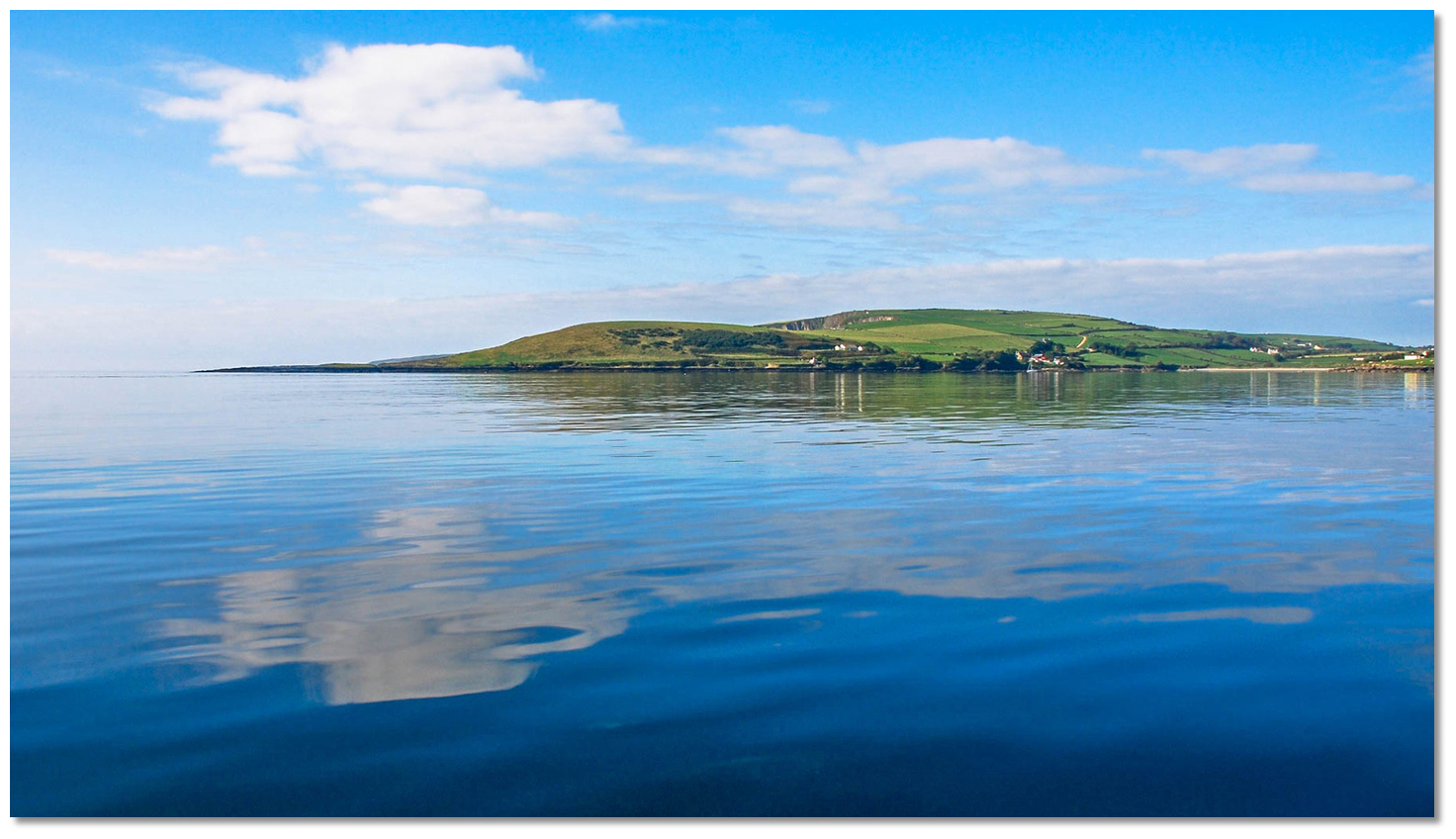 Placid Blindstrand Bay
Image: The Pink Elephant
Coolbaun’s name is derived from the Irish 'An Cúl Bán' meaning 'the white hill'. This was once the site of Lislee Castle one of the many that were constructed here at the time of the Norman invasion of Ireland. At the time it was one of the major Norman strongholds that included Timoleague, Barryroe and Dunworly. The castle is now gone with the only traces being the scattered remains of outer walls.
 Quarry Point took its name from its 18th-century slate quarry
Image: Henry O'Leary
In later times Coolbaun headland was a densely populated area and had a busy slate quarry giving the headland the name Quarry Point. Back in its heyday, it had a lifeboat station and a seawall that was overlooked by a lifeboat station on Barry’s Point. This came to an end as the slate was exhausted and the seawall was destroyed in a storm in December 1989. Today Blindstrand is a simply beautiful bay with little tide and beautiful white sands that make it a perfect family swimming location.
 Sunrise at Blindstrand Bay
Image: Dave Harty
From a boating perspective, it has a beautiful secluded natural anchorage. Being only 3 miles north of Seven Heads, it is also an ideal easy, quick-access 'lunch stop, or rest-stop for vessels making passage up this coast or as a tide wait location for Courtmacsherry.
What facilities are available?
There is nothing available in this remote secluded bay. The village of Courtmacsherry is about a 25 minute walk to the north offering most basic provisions, a choice of pubs and a post office.Any security concerns?
Never an issue known to have occurred to a vessel in Blindstrand Bay.With thanks to:
Burke Corbett, Gusserane, New Ross, Co. Wexford. Photographs with thanks to Niall at the Pink Elephant and burke Corbett.Views of Blindstrand Bay


Add your review or comment:
Please log in to leave a review of this haven.
Please note eOceanic makes no guarantee of the validity of this information, we have not visited this haven and do not have first-hand experience to qualify the data. Although the contributors are vetted by peer review as practised authorities, they are in no way, whatsoever, responsible for the accuracy of their contributions. It is essential that you thoroughly check the accuracy and suitability for your vessel of any waypoints offered in any context plus the precision of your GPS. Any data provided on this page is entirely used at your own risk and you must read our legal page if you view data on this site. Free to use sea charts courtesy of Navionics.