
.jpg)
The harbour provides a tolerable anchorage in settled or offshore conditions in the deeper waters behind its long pier or in the adjacent bay. Best protection can be had by those able to take to the mud in the Outer Harbour. Access from seaward is straightforward, provided that attention is paid to the rocks that lie off to the east of the harbour. During easterly gales, it is dangerous to enter Outer Harbour.

Keyfacts for Folkestone
Facilities


Nature


Considerations


Protected sectors

Approaches

Shelter

Last modified
September 20th 2020 Summary* Restrictions apply
A tolerable location with straightforward access.Facilities
Nature
Considerations
 +44 1303 254597
 +44 7401 627563
 folkestoneharbour.com/
 Ch.15 [Folkestone Port Information Service]
Position and approaches

Expand to new tab or fullscreen
Haven position
 51° 4.560' N, 001° 11.693' E
This is the position of Folkestone Breakwater Light, situated at the pierhead Fl(2)10s14m22M.
What is the initial fix?
The following Folkestone Initial Fix will set up a final approach:
 51° 4.500' N, 001° 12.000' E


What are the key points of the approach?
Offshore details are available in the southeast England’s Coastal Overview for North Foreland to the Isle of Wight  .
.
. - From the initial fix, the line of bearing 304°T of South Quay Head leads in the fairway.
- Prepare for a hard turn to port to pass through the Outer Harbour's entrance.
- Vessels intending to anchor out should contact the harbourmaster on Ch.15 [Folkestone Port Information Service].
- Vessels can lie alongside the wall only with prior permission and a fender board.
Not what you need?
Click the 'Next' and 'Previous' buttons to progress through neighbouring havens in a coastal 'clockwise' or 'anti-clockwise' sequence. Below are the ten nearest havens to Folkestone for your convenience.
Ten nearest havens by straight line charted distance and bearing:
- Dover - 5.4 nautical miles ENE
- Ramsgate - 17.4 nautical miles NNE
- Rye Harbour - 18.2 nautical miles WSW
- Sovereign Harbour (Eastbourne Marina) - 36.9 nautical miles WSW
- Newhaven - 50.7 nautical miles WSW
- Brighton - 51.8 nautical miles WSW
- Shoreham - 56.6 nautical miles WSW
- Littlehampton - 67.8 nautical miles WSW
- Dell Quay - 77.6 nautical miles W
- Chichester Marina - 78.2 nautical miles WSW
These havens are ordered by straight line charted distance and bearing, and can be reordered by compass direction or coastal sequence:
- Dover - 5.4 miles ENE
- Ramsgate - 17.4 miles NNE
- Rye Harbour - 18.2 miles WSW
- Sovereign Harbour (Eastbourne Marina) - 36.9 miles WSW
- Newhaven - 50.7 miles WSW
- Brighton - 51.8 miles WSW
- Shoreham - 56.6 miles WSW
- Littlehampton - 67.8 miles WSW
- Dell Quay - 77.6 miles W
- Chichester Marina - 78.2 miles WSW

Chart

How to get in?
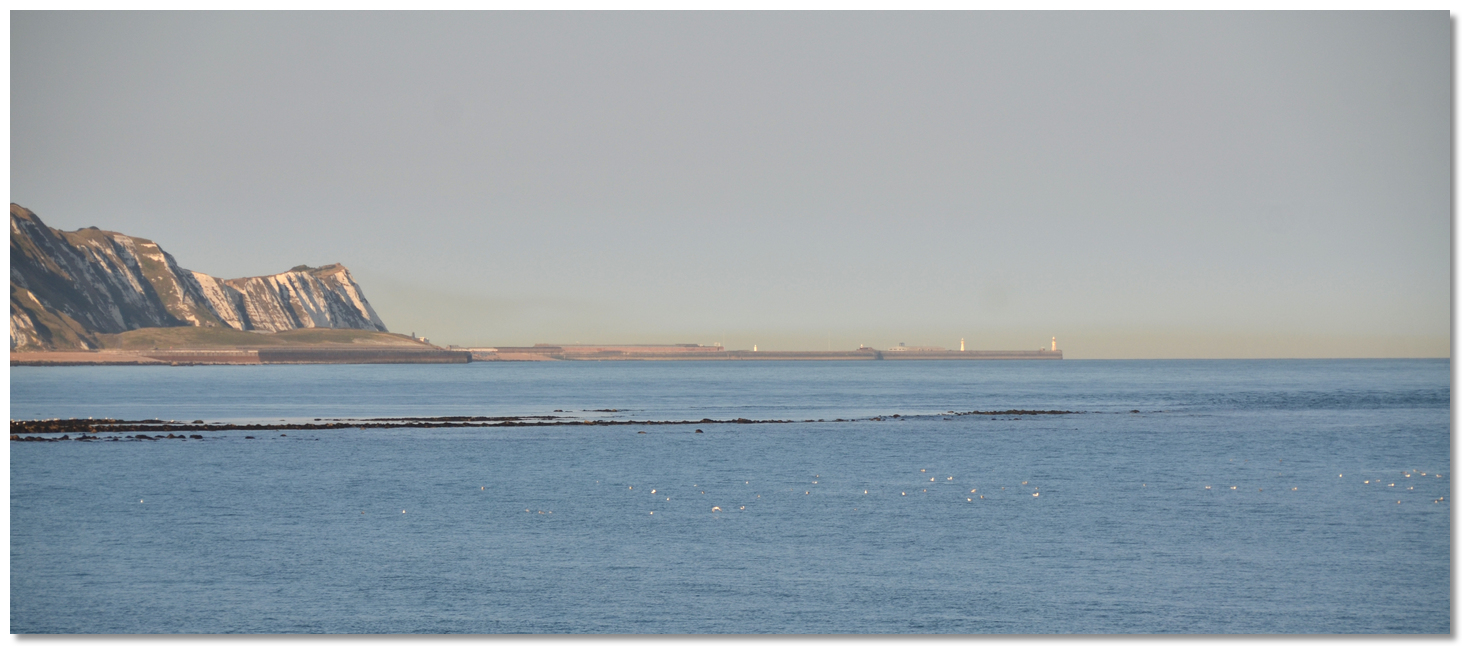
 Folkestone
Image: Michael Harpur
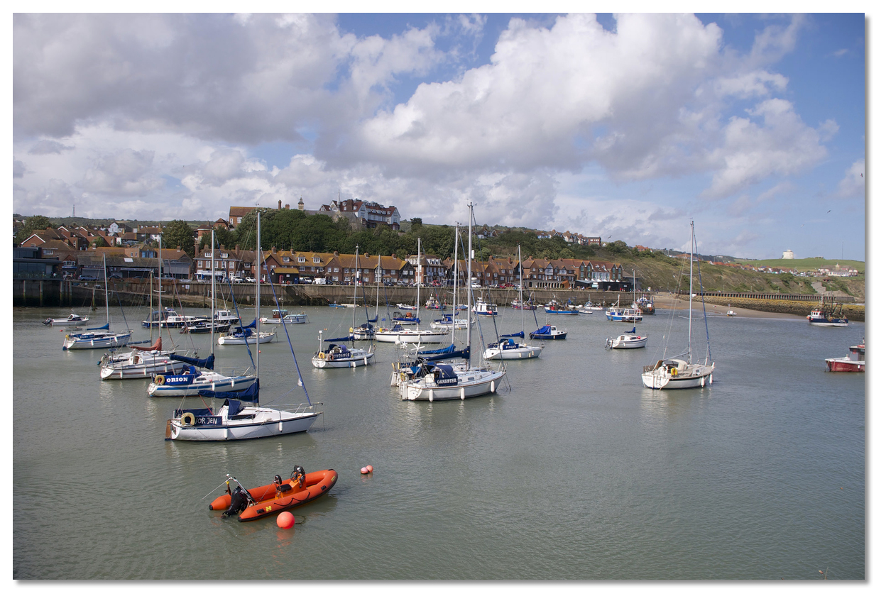
Folkestone Harbour is situated 13 miles northeast of Dungeness and 5 miles westward of the Port of Dover. A former cross-Channel ferry terminal, it is now used mainly by small fishing vessels and recreational craft. The port comprises a mole which extends out ¼ mile from the shore in a generally east-southeasterly direction, and Outer and Inner Harbours at the head of a bay. The harbours are separated by a railway viaduct.
 Folkestone Harbour Breakwater's pretty granite lighthouse
Image: Pharma Mike via CC BY-SA 2.0
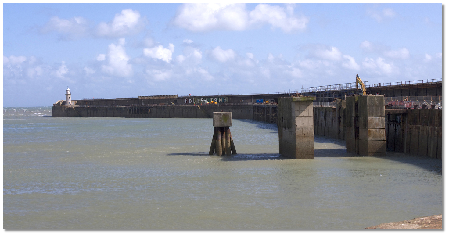
 Offshore details are available in the southeast England’s Coastal Overview for North Foreland to the Isle of Wight . From seaward, the Martello Tower on East Cliff, visible from the east, and Folkestone Breakwater Light make conspicuous marks.
 South Quay Head
Image: Michael Harpur
 From the initial fix, the line of bearing 304°T of South Quay Head is the fairway into the harbour, close northeast of the harbour mole and southwest of Mole Head Rocks, after which a direct approach to the entrance can be made.
 The primary danger to be avoided is the Mole Head Rocks fringing the harbour. Beneath the conspicuous Martello Tower on Copt Point, atop the first cliff eastward of Folkestone, lie the Copt Rocks. These are formed by drying ledges of sandstone and front the point, extending up to ⅓ mile eastward into the bay. The ledge uncovers to almost 2 metres at low-water springs.
 The Mole Head Rocks awash
Image: Michael Harpur
The Mole Head Rocks are a continuation to the westward of the Copt Rocks, extending as far as 300 metres from Folkestone Mole. They uncover at 1.1 metres and a buoy (special) is moored at their west-southwest end. A submarine outfall extends south of the ledge and is marked close southeast by a port light buoy, Fl.R.5s.
The Outer Harbour entrance is 38 metres wide and lies between the heads of South Quay and East Pier, from which lights (lateral Q.R. & Q.G.) are exhibited. The Outer Harbour entrance faces northeast; the turn to line up for the entrance is sharp and requires considerable care.
 The Outer Harbour at low water
Image: Michael Harpur
The harbour is best suited to vessels that can dry in the Outer Harbour. At high water springs, it has depths of about 5.5 metres MHWS at the entrance and 3.3 to 4.2 metres over the greater part. South Quay has a berth 78 metres in length, capable of handling heavy lift cargoes. This is best avoided as it receives coasters and is beset with piles. 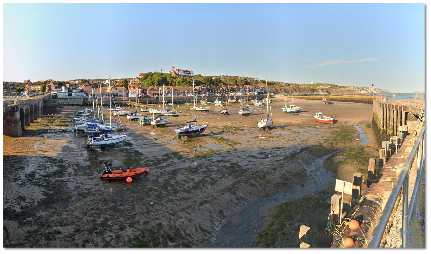 The Outer Harbour at low water: note the South Quay's piles and the uneven bottom alongside
Image: Michael Harpur
Inner Harbour, to the west of the railway viaduct, dries but has depths of about 4 metres at HW springs. Access is limited by the low clearance available under the viaduct and it is largely taken up by local vessels.
 Inner Harbour at low water
Image: Michael Harpur
Vessels that cannot take to the ground can anchor in deep water inside the outer breakwater according to draught. The area is known to be foul so it is important to use a trip line, but it may provide a berth in the right conditions and an excellent tide wait location. If electing to anchor, it is advisable to speak with the harbourmaster to make sure you will not impede any scheduled freighters.
 Yacht anchored out in deep water inside the outer breakwater
Image: Michael Harpur
There are three commercial berths along the northeast side of the harbour mole. The outer berth, which is about 150 metres long, has depths of about 5 metres, while the two inner berths have depths of less than 2 metres. This is a possible option if the harbourmaster gives permission and the vessel has a fender board to deal with the rough wall.
 The inner wall of Folkestone's Harbour Mole
Image: Michael Harpur
There is good holding ground in East Wear Bay, which lies between Abbot's Cliff and Copt Point a mile northeast. The shore of the bay is flat and covered with large stones, which makes a landing difficult at low water. The bay is sheltered only from the west by Copt Point and Copt Rocks, and should just be used as a temporary anchorage.

Why visit here?
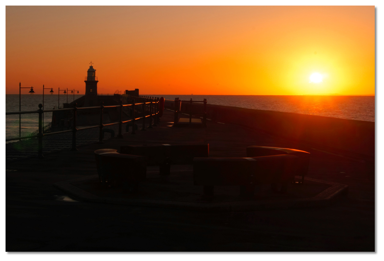
Kent was the first part of the British mainland to be conquered and settled by the invading Angles, Saxons and Jutes from the middle of the 5th century AD onwards, after the departure of the Romans. It was not until the late 7th century, however, that the spelling Folcanstan appears. One suggestion is that this refers to Folca’s stone, from an Old English personal name, with the addition of stone, possibly referring to a meeting place. It was not until the mid-19th century that the modern-day spelling of Folkestone was fixed, with the Earl of Radnor requesting that the town’s name be standardised (although this tendency towards standardisation in the 19th century is true of English place names generally). Folkestone is often misspelt, variants including Folkston, Folkstone and Folkeston.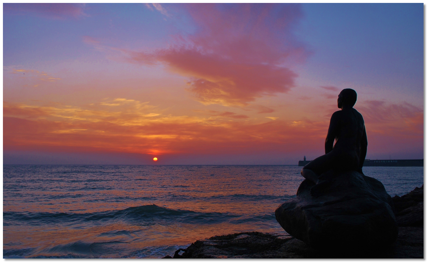 Folkestone Harbour at sunrise
Image: Barry Marsh
The area of Folkestone has been occupied since at least the Mesolithic era (circa 8,000 to 10,000 BC). A modest Roman-style villa was constructed over the Iron Age settlement sometime during the first century AD, followed by a more luxurious one in about AD 200. The villa was abandoned sometime during the third or fourth century for unknown reasons.
In AD 597, monks led by St Augustine arrived at Ebbsfleet on the Isle of Thanet, on a mission from Pope Gregory to re-introduce Christianity to Britain. He was greeted by the Anglo Saxon pagan King of Kent, Ethelbert and his Christian Queen, Bertha. Augustine was granted land in Canterbury, where he built his church. Outside the walls he founded the monastery of St Peter & St Paul, known today as St Augustine’s. Ethelbert was succeeded as Anglo-Saxon king of Kent by his son Eadbald, whose daughter Eanswythe refused all offers of marriage. In AD 630, Eanswythe founded a nunnery on the site of her father's castle near Folkestone, by the present Parish Church of St Mary & St Eanswythe.
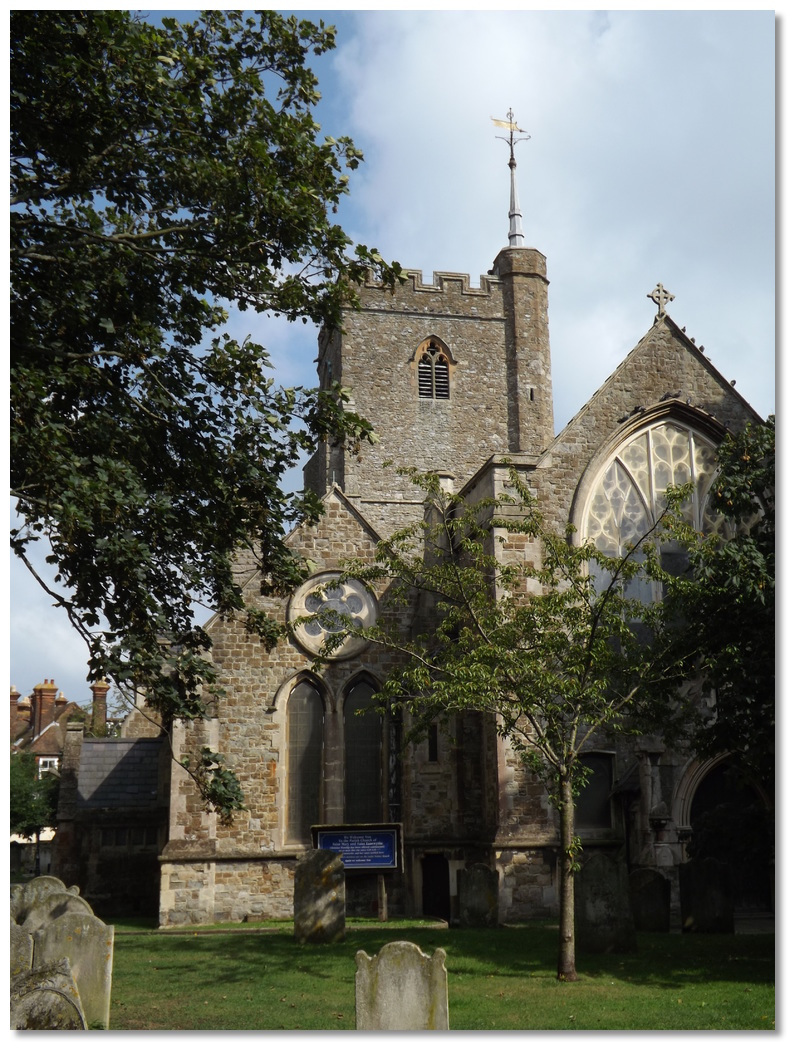 Church of St Mary and St Eanswythe, in the town centre, contains the remains
of St Eanswythe, grand-daughter of Ethelbert of Kent
Image: Edgepedia via CC ASA 3.0
The community grew and developed into a monastery until it was dissolved by Henry VIII, and St Eanswythe's remains disappeared. They were rediscovered in June 1885 when workmen carrying out alterations to the high altar found a battered lead casket immured in a niche in the north wall of the chancel. Examination by archaeologists at the time and again in 1981 confirmed that the casket was of Anglo-Saxon origin and the few bone fragments were those of a woman in her early 30s. These relics remain housed in the church close to where they were discovered in the north wall of the chancel, flanked by a pair of small brass candlesticks. As well as being celebrated on St Eanswythe’s feast day, she also appears on the town's seal with William Harvey, the Folkestone-born 17th-century physician who was the first to accurately describe the circulation of the blood.
A Norman knight held a Barony of Folkestone, which led to its entry as a part of the Cinque Ports in the 13th century and, with that, the privilege of being a wealthy trading port. By the start of the Tudor period, it had become a town in its own right. Wars with France meant that defences had to be built here and soon plans for a town harbour began. At the beginning of the 1800s, a harbour was developed, but it was the coming of the railways in 1843 that would have the bigger impact.
Until the 19th century, Folkestone remained a small fishing community with a seafront that was continually confounded by storms and encroaching shingle that made it hard to land boats. In 1807, an Act of Parliament was passed to build a pier and harbour, constructed by Thomas Telford in 1809. By 1820, a harbour area of 14 acres (5.7 hectares) had been enclosed. Folkestone's trade and population grew slightly, but development was still hampered by sand and silt from the Pent Stream.
The Folkestone Harbour Company invested heavily in removing the silt, but with little success. In 1842, the company became bankrupt, and the Government put the derelict harbour up for sale. It was bought by the South Eastern Railway Company (SER), which was then building the London to Dover railway line. George Turnbull was responsible in 1844 for building the Horn pier. Dredging the harbour, and the construction of a rail route down to it, began almost immediately, and the town soon became SER’s principal packet station for Continental traffic to Boulogne.
The harbour's use has diminished since the opening of the nearby Channel Tunnel and cessation of local ferry services, but it remains active. The harbour’s use has increased dramatically due to the construction of the Harbour Arm, which hosts cafés, pubs and bands.
What facilities are available?
Folkestone Yacht and Motorboat Club +44(0)1303 251574.With thanks to:
eOceanic, UK Hydrographic Office.jpg)
Folkestone Harbour, Kent
Image: eOceanic thanks Joshua Brown via CC BY-SA 2.0
Outer Harbour
Image: eOceanic thanks Joshua Brown via CC BY-SA 2.0

Inner Harbour at low water
Image: eOceanic thanks Michael Harpur

Outer Harbour at low water
Image: eOceanic thanks Michael Harpur

The Outer Harbour at low water - note the uneven bottom
Image: eOceanic thanks Michael Harpur

South Quay Head's tide gauge
Image: eOceanic thanks Michael Harpur

Martello on Copt Point
Image: eOceanic thanks Michael Harpur
Sunset over Folkestone's Breakwater Light
Image: eOceanic thanks Robert Manhire


Add your review or comment:
Please log in to leave a review of this haven.
Please note eOceanic makes no guarantee of the validity of this information, we have not visited this haven and do not have first-hand experience to qualify the data. Although the contributors are vetted by peer review as practised authorities, they are in no way, whatsoever, responsible for the accuracy of their contributions. It is essential that you thoroughly check the accuracy and suitability for your vessel of any waypoints offered in any context plus the precision of your GPS. Any data provided on this page is entirely used at your own risk and you must read our legal page if you view data on this site. Free to use sea charts courtesy of Navionics.