
This is the primary coastal description and set of waypoints for the area between Loop Head and Slyne Head. The detailed coastal description may be used by those planning to come closer inshore or to approach one of the passage havens that are listed along the length of the route. The sequence of description is from south to north or coastal clockwise passing:

- • Two to five miles offshore from Loop Head and Black Head
- • Into Galway Bay through the South Sound
- • Exiting Galway Bay through North Sound
- • Passing to seaward of the Skerd Rocks
Why sail this route?
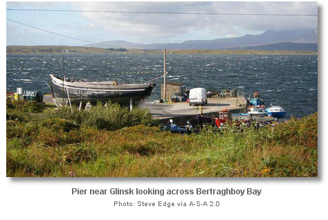
This route passes between two and five miles offshore for the forty mile run between Loop Head and Galway Bay, where the mainland is devoid of shelter. It then sets up Galway Bay that offers a host of berthing options either in the Aran Island chain to the west, or Galway town itself and the many bays and inlets eastward from Black Head. It then passes close south of the bights and inlets between Cashla and Slyne Head, opening up the exploration of the Connemara coast in the many bays and inlets such as those of Kilkieran, Bertraghboy and Roundstone bays.Inner passes to the west of Golam Head are available for vessels exploring the Connemara coast that will be more convenient and subject to less sea than the offshore route suggested, outside of the Skerd Rocks. But these inner passes require significant pilotage as there are many rocks and shoals and few navigational marks.

What are the navigational notes?

OVERVIEW
The fifty miles between Loop Head and Slyne Head is of moderate elevation in the southern part but rises to high peaks in its northern section. The voyage takes a vessel between many sailing extremes that are as remarkable as beautiful.
It commences in the south with an iron clad coastline from the Shannon Estuary to Galway Bay, that although largely free from outlying dangers, is a long passage over a lee shore that offers several fair weather anchorages but no real sanctuary for its entire length. It then transforms in the central section to the relatively protected cruising ground of Galway Bay. Finally, the coast reinvents itself again in the north with the irregular broken shores of Connemara. Here intricate channels lead through a maze of islands and inlets, reefs, tide-swept sandy bays all fronted by a host of outlying dangers that extend out for miles.
The southern forty-five miles between Loop Head and the promontory of Black Head is of moderate elevation but completely exposed to the full force of the Atlantic swell. There is no completely safe heavy weather anchorage throughout this length of this coast and it will wreck any vessel cast upon it. The shoreline is characterised by an exposed Atlantic wall that is typically a lee shore for vessels passing this way. It is spectacularly scenic from seaward with its most famous feature being the 200 metres high ‘Cliffs of Moher’. Despite this, unless in settled conditions, a vessel should stay well off this coast and admire it from a safe distance.
About midway between the two points is the extensive Galway Bay, with Galway city located in its northeast head. The approach from the ocean to this deep and spacious inlet is remarkably easy and well defined. The magnificent natural breakwater of the Arran islands, that extend across the mouth of Galway Bay, serves as an effective barrier against the heavy swell of the Atlantic Ocean, that would otherwise roll in unbroken to the head of the bay and entirely deprive it of its easy character. The bay offers Galway docks, set in the heart of one of Ireland’s greatest cities, along with several snug anchorages in the surrounding inlets. The shielding Aran Islands consist of three islands that from west to east are: Inishmore, the largest; Inishmaan, the second-largest; and Inisheer the smallest. The islands are inhabited with Irish being the main spoken language of the Islanders. Together, Galway Bay and the Aran Islands, make for an excellent cruising destination in itself.
Between Galway Bay and Slyne Head, about twenty miles, the coast no longer presents the bold features that distinguish the terrain to the south of Galway Bay. Here the irregularly broken shores of the Connemara are fronted by a multitude of dangerous outlying rocks that extend out many miles from the land. Channels lead through the outlying dangers to bays and inlets that provide secure anchorages, but with plenty of dangers in the approach. Some dangers are so numerous that they are seldom frequented and should never be attempted by strangers without the assistance of local knowledge.
Tidal streams are weak offshore streaming at about a quarter to half a knot six to eight miles out. Close inshore it runs stronger, and sets past Loop Head or between the Aran Islands at a knot in an east and west direction.
The complete course is 89.30 miles from the waypoint '2 miles west of Loop Head' to '3 miles west of Slyne Head' tending in a north north westerly direction (reciprocal south south easterly).
2 miles west of Loop Head, 52° 33.670' N, 009° 59.120' W
Loop Head is an abrupt 55 metres high precipice of 500 metres within the extremity of which stands the conspicuous Loop Head Lighthouse, Fl (4) 20s W vis 280°-218° (298°), a white 23-metre high tower at an elevation of 84 metres.
► Next waypoint: 46.43 miles, course ⇓ 33.97°T (reciprocal ⇑ 213.97°T)
Clear water Slyne Head, 53° 12.019' N, 009° 15.839' W
This is over half a mile west of the Slyne Head lighthouse set upon the western extremity of the island of Illaunamid. It is a third of a mile to the west of the foul ground extending out for a quarter of a mile to the west of Illaunamid.
► Next waypoint: 18.09 miles, course ⇓ 269.10°T (reciprocal ⇑ 89.10°T)
North Sound, 53° 11.671' N, 009° 46.011' W
This waypoint is set on the leading marks for an approach to Kilkieran Bay for those who may wish to also use it to explore the inshore waters. For those choosing to do this the sight-line leads between Golam Head and Eagle Rock on the line of bearing 355.5° of Cashel Hill, seen over Birmore Island, which leads to the west of Dinish Shoal.
► Next waypoint: 10.19 miles, course ⇓ 278.46°T (reciprocal ⇑ 98.46°T)
2½ miles southwest of the Skerd Rocks , 53° 13.149' N, 010° 2.840' W
The unmarked Skerd Rocks are an extensive group of rocks and shoals some of which are always above water and others just awash. The outer rock, on the southwest side of the group, is called Skerdmore and it stand 18 metres high.
► Next waypoint: 14.58 miles, course ⇓ 318.21°T (reciprocal ⇑ 138.21°T)
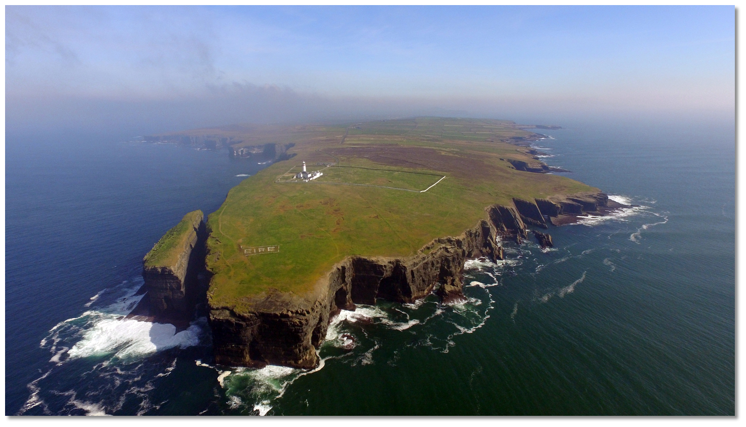 Loop Head penninsula
 , the northern of the two inlets.
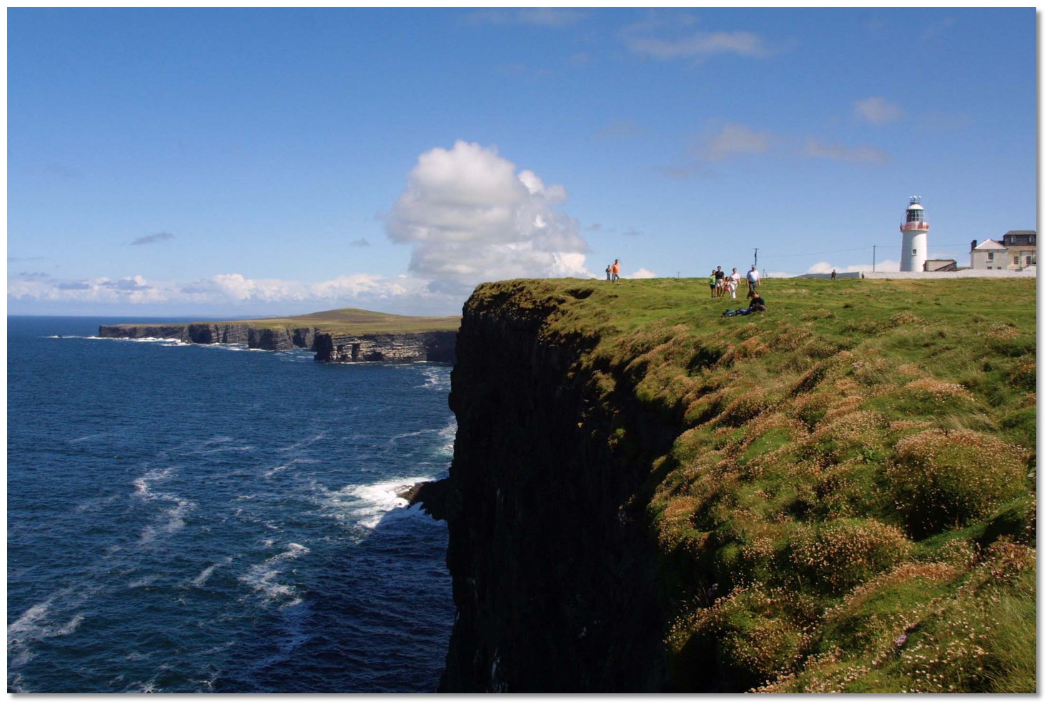 Cliffs northward of Loop Head
 Illaunonearaun
 Bishop's Island and the Kilkee Cliffs seen from the south
 Kilkee
 Doonbeg Bay as seen from the south
 Low lying Mutton Island in silhouett at sunset
 Mutton Island as seen from the south
 Mutton Island and Seafield with Mal rock exposed and a ripple over the stony
 Liscannor Bay
 Liscannor Pier
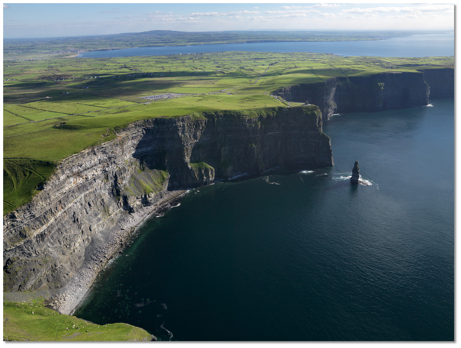 The Cliffs Of Moher with Liscannor Bay in the backdrop
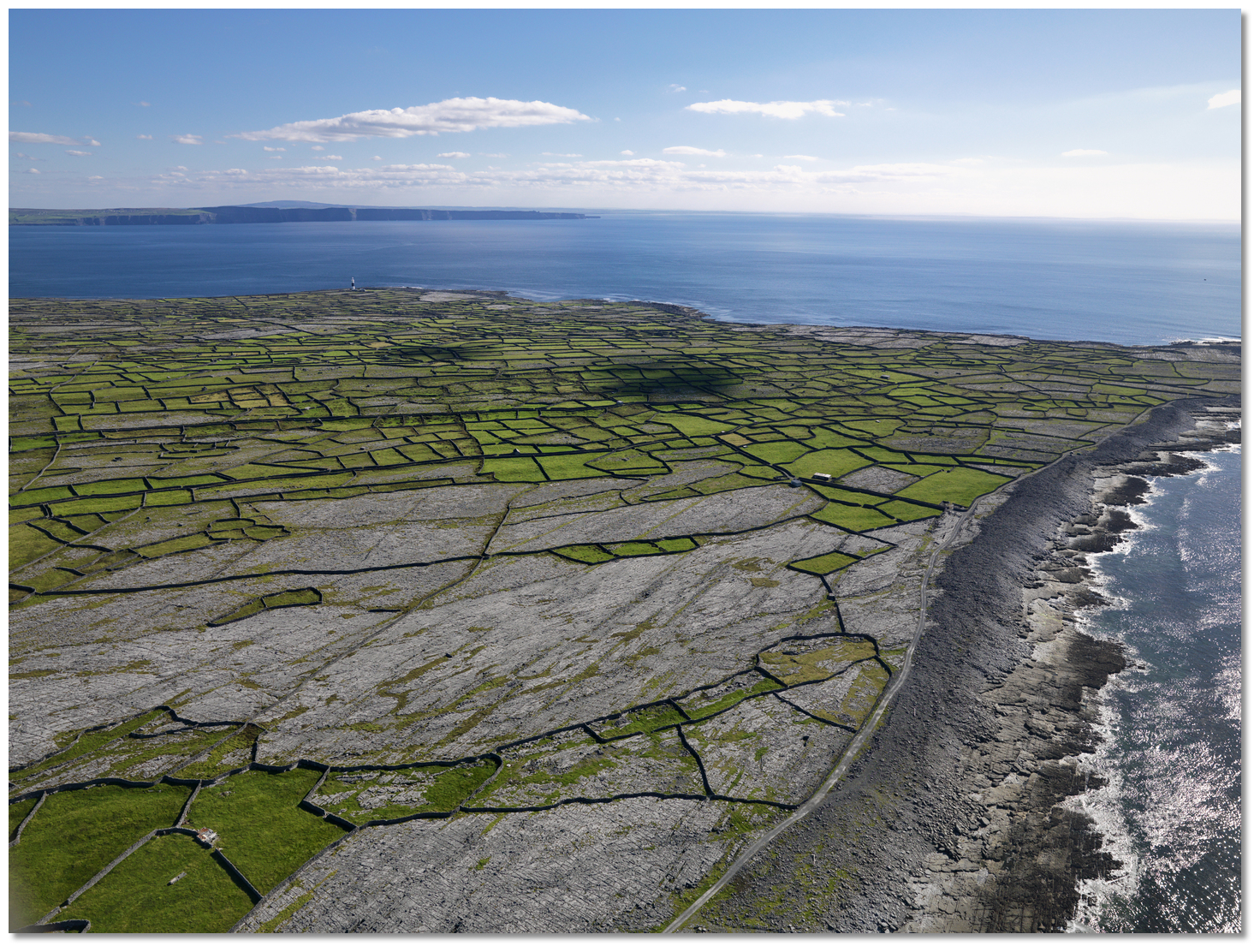 The Cliffs Of Moher as seen from above Inisheer the southernmost of the Aran
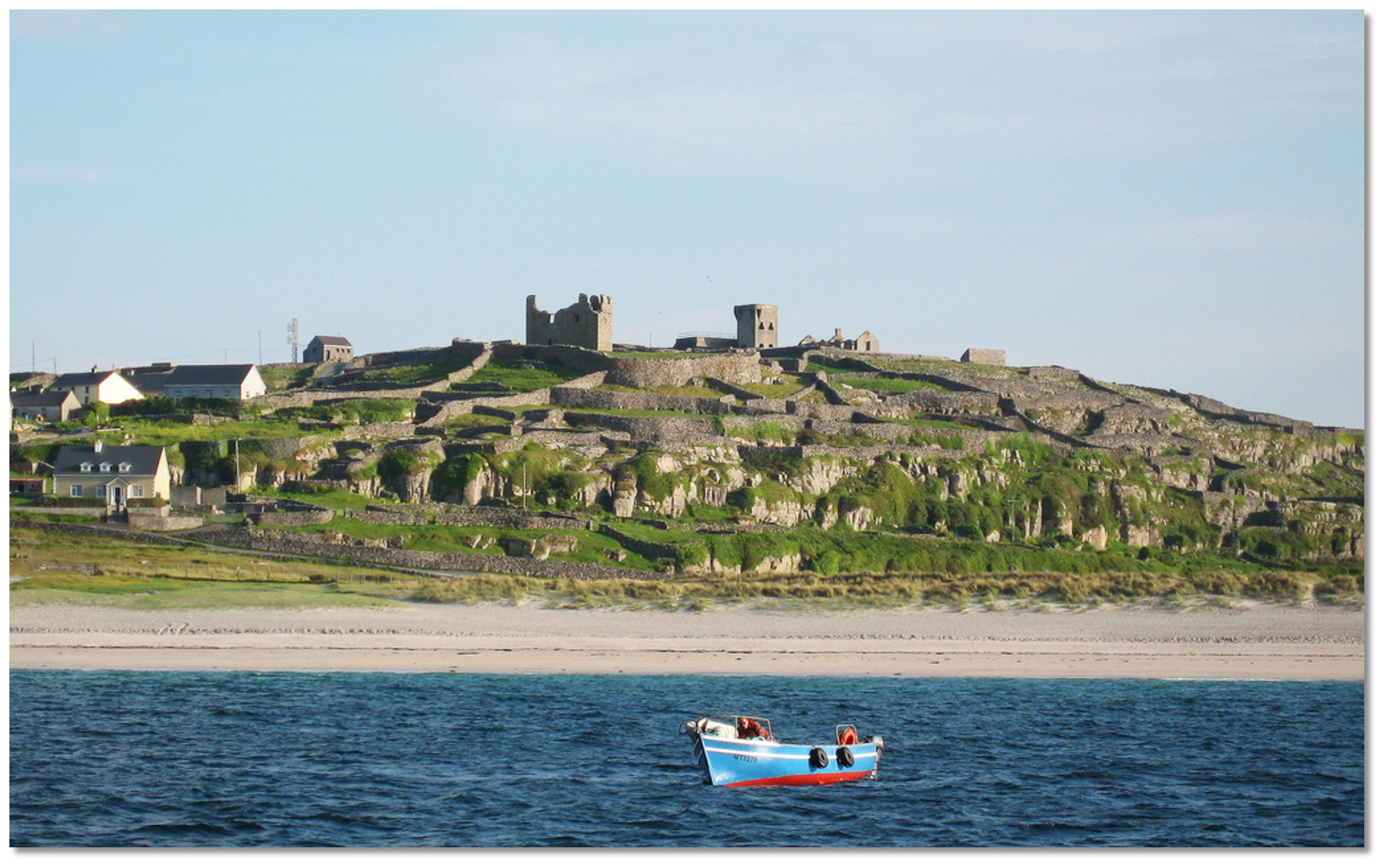 The view of the island from the North Strand anchorage
 Trawkeera Point, Inisheer with the Plassey Shipwreck
 March 1960 MV Plassy, or Plassey, ran onto Finnis Rock and was later
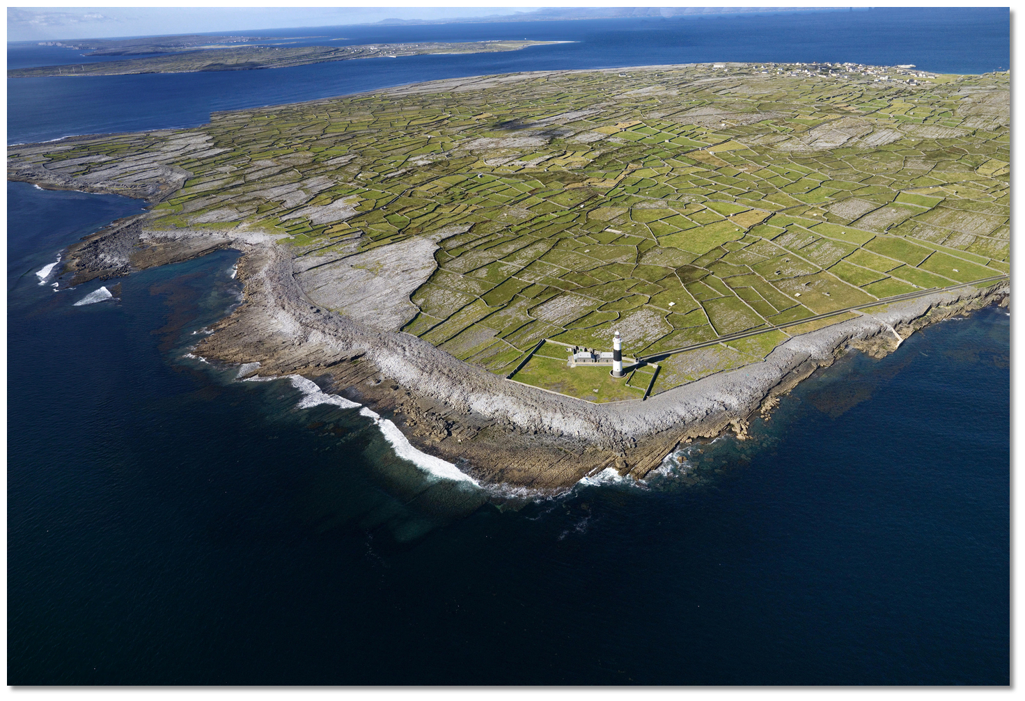 Inisheer light on Fardurris Point the south side of the island
  Inishmaan Dún Chonchúir near the central summit of the island
 Ferry in Inishmaan's Caladh Mór
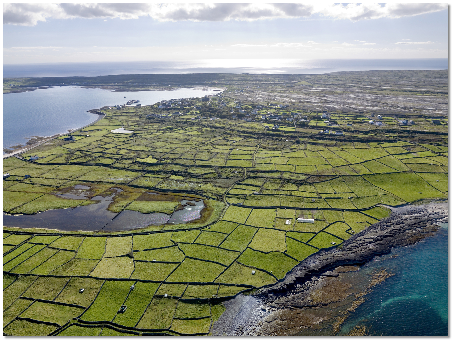 Inishmore with Kilronan and Killeany Bay top left
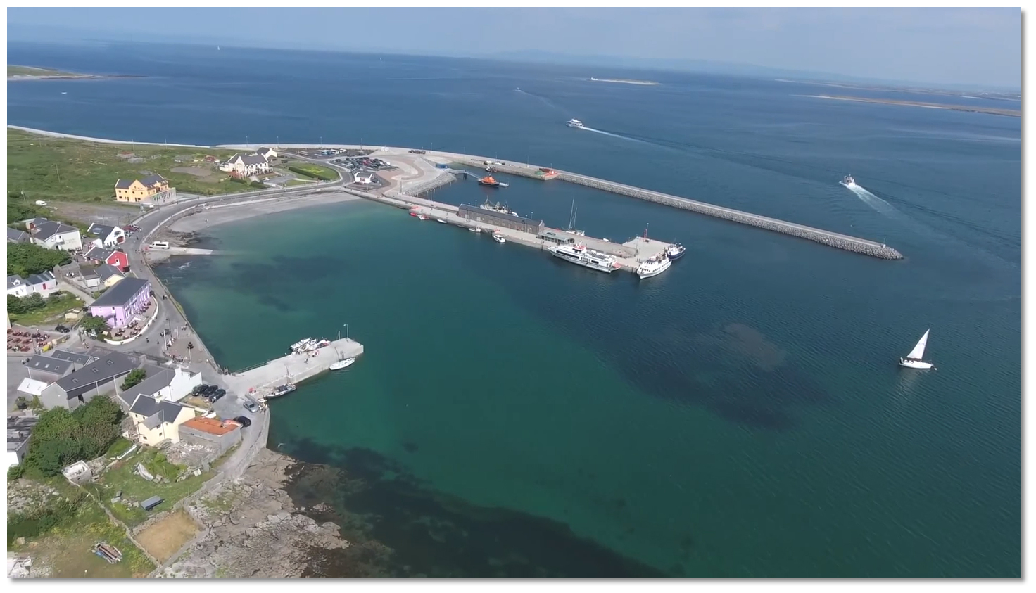 Kilronan Harbour
 Straw Island Lighthouse
_inishmore.jpg) Dún Aonghasa, (Dun Aengus) Inishmore
Dún Aonghasa, (Dun Aengus) Inishmore Eeragh lighthouse at the northernmost extremity of chain of Aran Islands
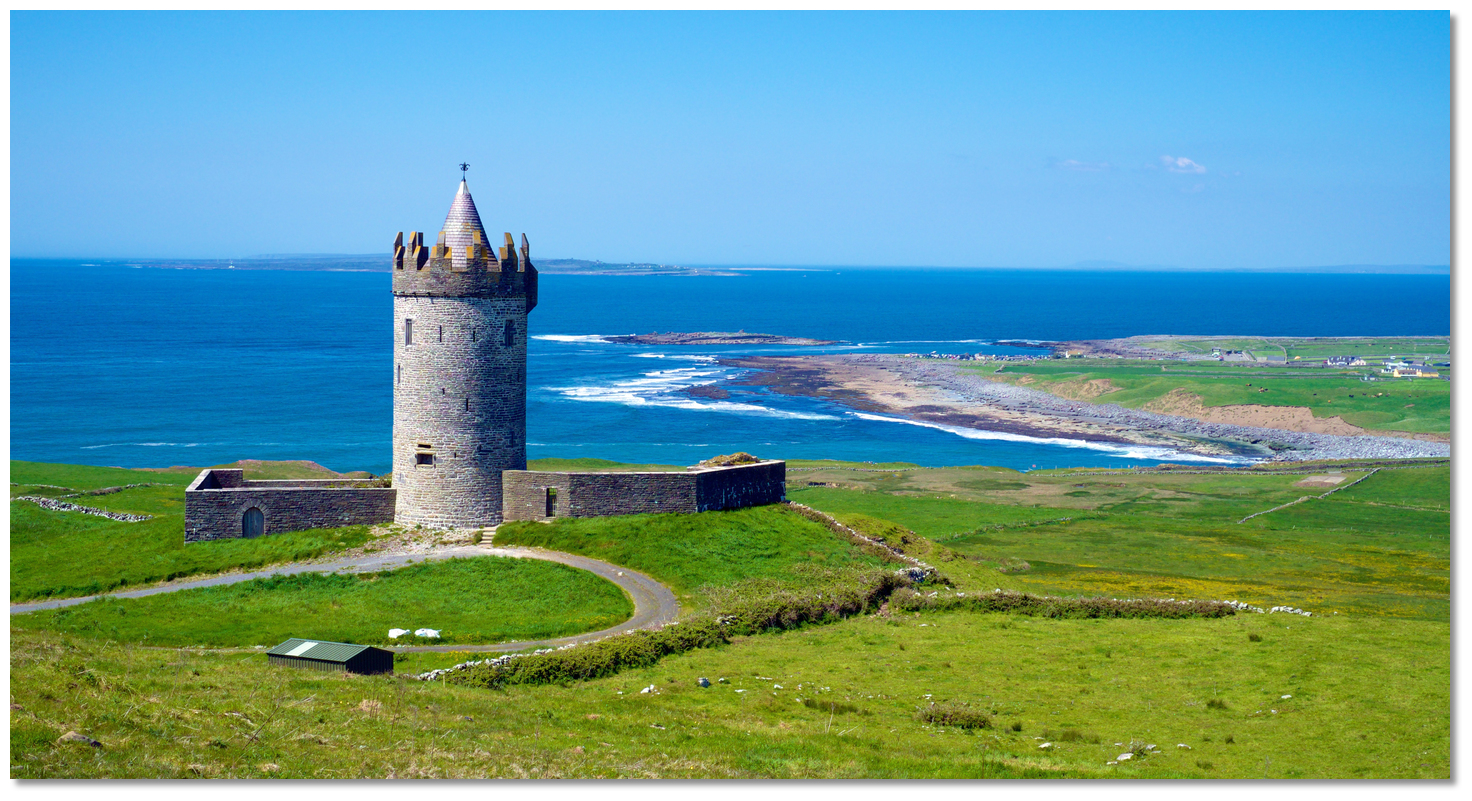 Doonnagore Castle overlooking South Sound, Doolin Point right, Inisheer in the
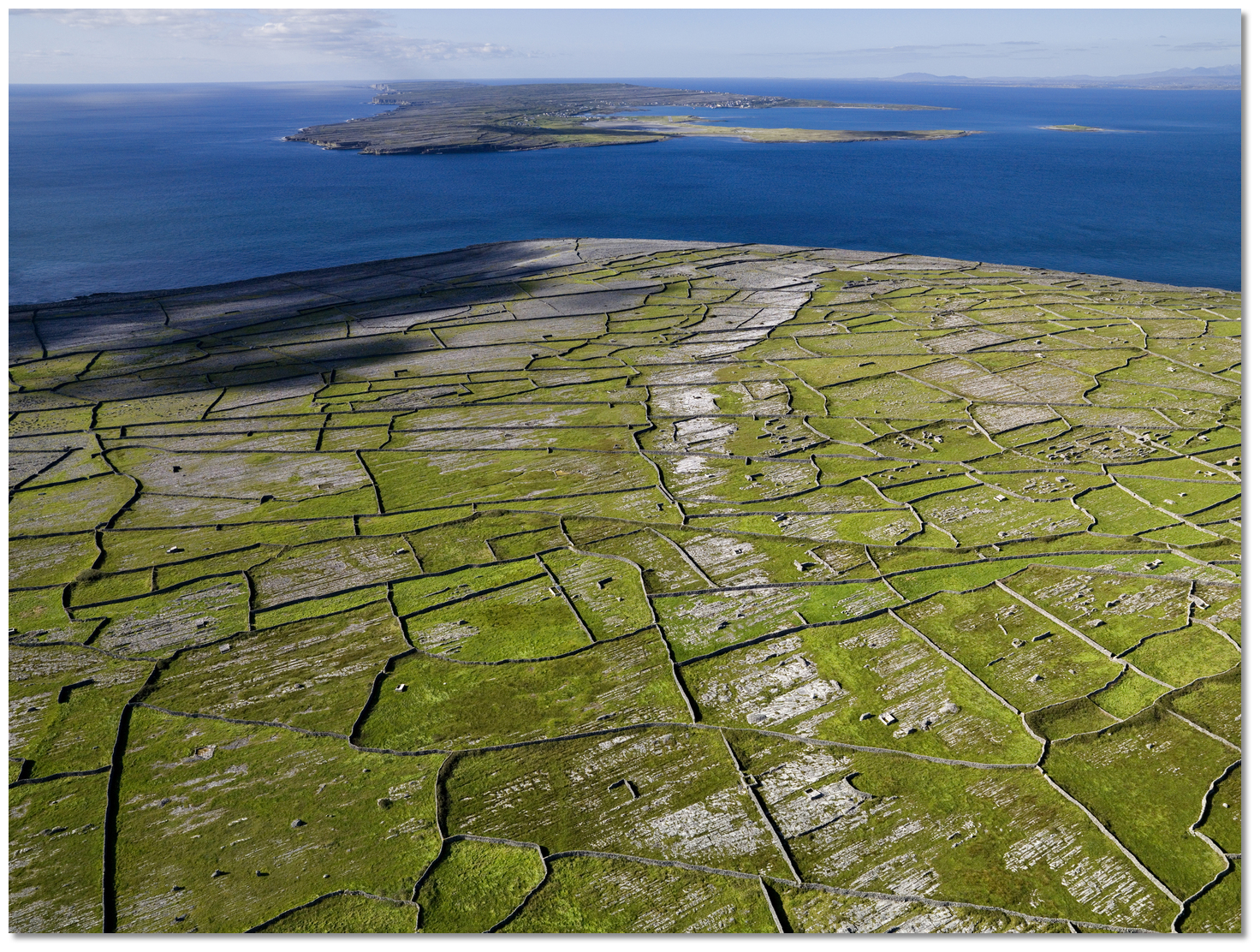 Gregory Sound between Inishmaan and Inishmore
 Cancregga to Doonnagore Bay
 Hag’s Head with the conspicuous Moher Tower upon its summit
 The Cliffs Of Moher
  Branaunmore Rock just off O'Briens Tower
 Cliffs of Moher as seen from the beach at their foot
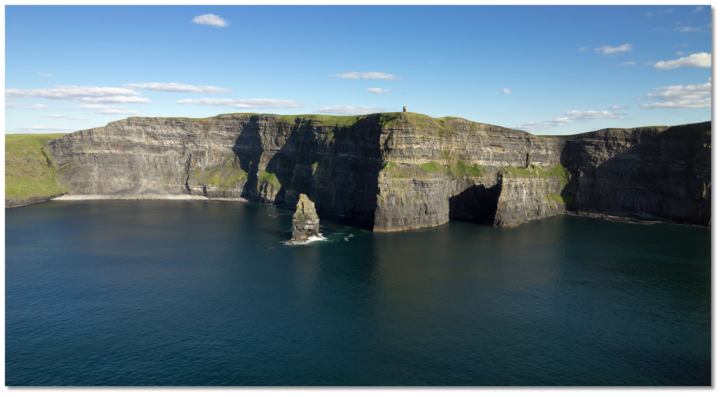 The Cliffs Of Moher as seen from seaward
 Doonnagore Bay with Dooling Point and Crab Island right, Inisheer in the
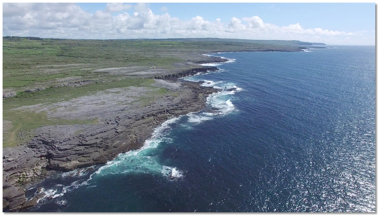 The Burren's Ballylee Point to the Cliffs of Moher
 Ailadie Point to Fanore Point
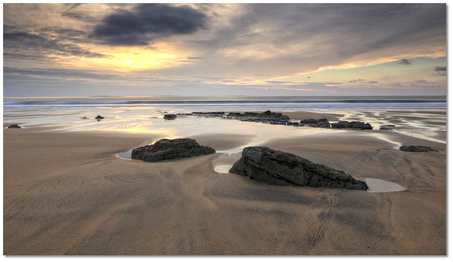 The beach at Fanore Bay
 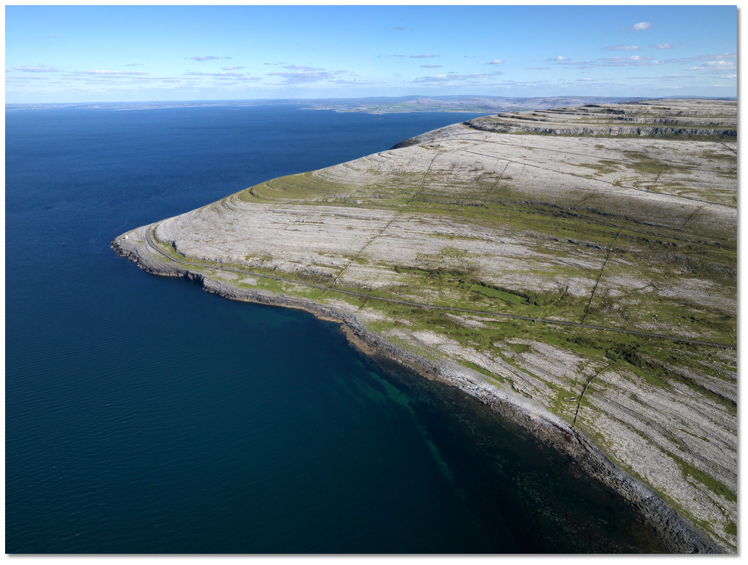 Black Head
 Black Head Light overlooking Galway Bay from The Burren
 Gleninagh Castle
 Ballyvaghan Bay
 Martello tower on Finavarra Point
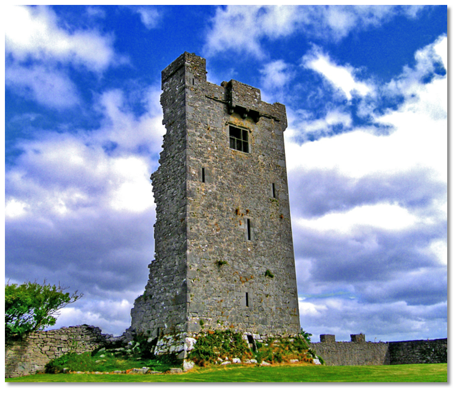 Shanmuckinish Castle ruin
 Kinvarra
 Dunguaire Castle overlooking Kinvarra Bay
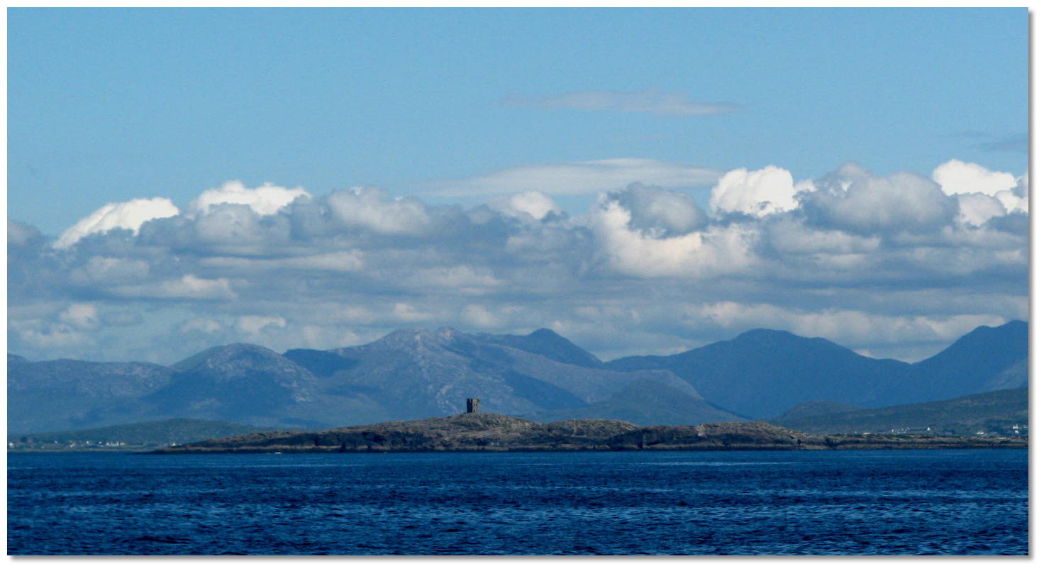 Golam Head with its conspicuous watch tower as seen from the south
 Golam Head Connemara as seen from within Golam Harbour


 Approaches to Galways Docks
 Galway Docks
 Galway
 The Skerd Rocks
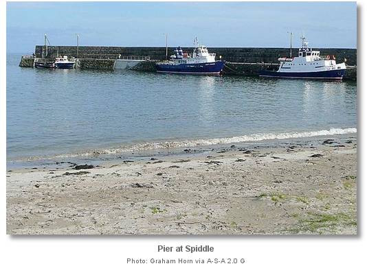
 Roundstone Quay
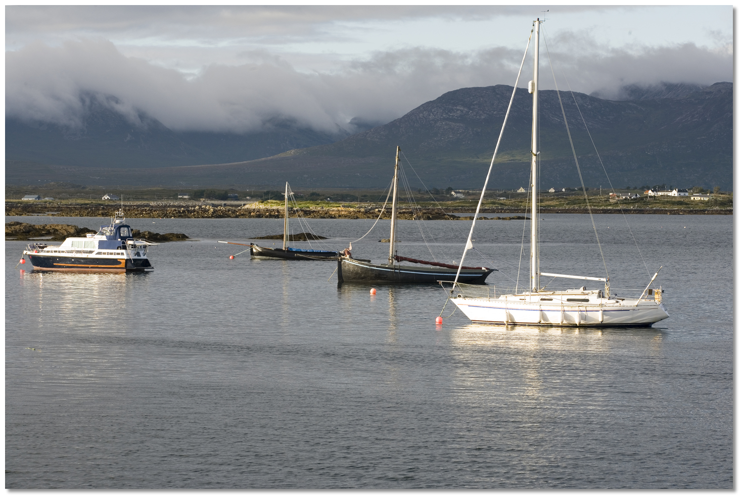 Yachts anchored in Roundstone Bay

 Slyne Head