
Porth Cressa is located on the south side of St Mary’s Island which is the largest island in the Isles of Scilly. It is immediately south of the Hugh Town isthmus where the capital and principal port for the Scilly island group lies. It offers an anchorage close to the town.
Porth Cressa is well sheltered from west-southwest round through west, northwesterly, north, and light northeast lies but open to south and southeast. If there is any swell it becomes uncomfortable, particularly around high water with westerly winds which tends to wrap around the island and into the bay. Attentive navigation with daylight is required to pass between two above water reefs with some covered rocks adjacent. The bay may be access at any stage of the tide but the optimal time to enter is at low water when all its rocks are visible.


Keyfacts for Porth Cressa


Last modified
January 13th 2020 Summary
A good location with attentive navigation required for access.Facilities


Nature


Considerations


 +44 1720 423758
 +44 7831 840508
 candpcarss@gmail.com
 porthcressamoorings.co.uk
Position and approaches

Expand to new tab or fullscreen
Haven position
 49° 54.536' N, 006° 18.912' W
This is in the outer anchoring area, midway between Morning Point and Raveen.
What is the initial fix?
The following Saint Mary's Sound Initial Fix will set up a final approach:
 49° 53.357' N, 006° 17.590' W


What are the key points of the approach?
Offshore details are available in southwestern England’s coastal overview from Land's End to Isles of Scilly  and St Mary’s Pool
  for general approaches.
and St Mary’s Pool for general approaches.- From the initial fix steer to pass midway between 'Spanish Ledge Cardinal' and Peninnis Head.
- Pass the outlier Biggal Rock about 150 metres to port.
- Continue in steering north by northwest to pass Wras and Fennel Rock to port and Porth Cressa Brow, a rocky ledge that occupies the eastern side of the bay, to starboard.
- Start sounding for a location to anchor once between Morning Point and Raveen located near the extremity of Porth Cressa Brow.
Not what you need?
Click the 'Next' and 'Previous' buttons to progress through neighbouring havens in a coastal 'clockwise' or 'anti-clockwise' sequence. Below are the ten nearest havens to Porth Cressa for your convenience.
Ten nearest havens by straight line charted distance and bearing:
- St Mary's Pool - 0.6 nautical miles N
- Old Town Bay - 0.7 nautical miles E
- Porth Conger - 1.2 nautical miles SW
- The Cove - 1.3 nautical miles SW
- Windmill Cove - 1.8 nautical miles NE
- Green Bay - 2.8 nautical miles NNW
- Higher Town Bay - 3.2 nautical miles NNE
- Old Grimsby - 3.3 nautical miles N
- New Grimsby - 3.4 nautical miles NNW
- Tean Sound - 3.4 nautical miles N
These havens are ordered by straight line charted distance and bearing, and can be reordered by compass direction or coastal sequence:
- St Mary's Pool - 0.6 miles N
- Old Town Bay - 0.7 miles E
- Porth Conger - 1.2 miles SW
- The Cove - 1.3 miles SW
- Windmill Cove - 1.8 miles NE
- Green Bay - 2.8 miles NNW
- Higher Town Bay - 3.2 miles NNE
- Old Grimsby - 3.3 miles N
- New Grimsby - 3.4 miles NNW
- Tean Sound - 3.4 miles N


What's the story here?
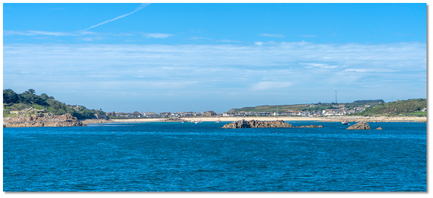
 Porth Cressa as seen from the southwest
Image: Visit Isles of Scilly
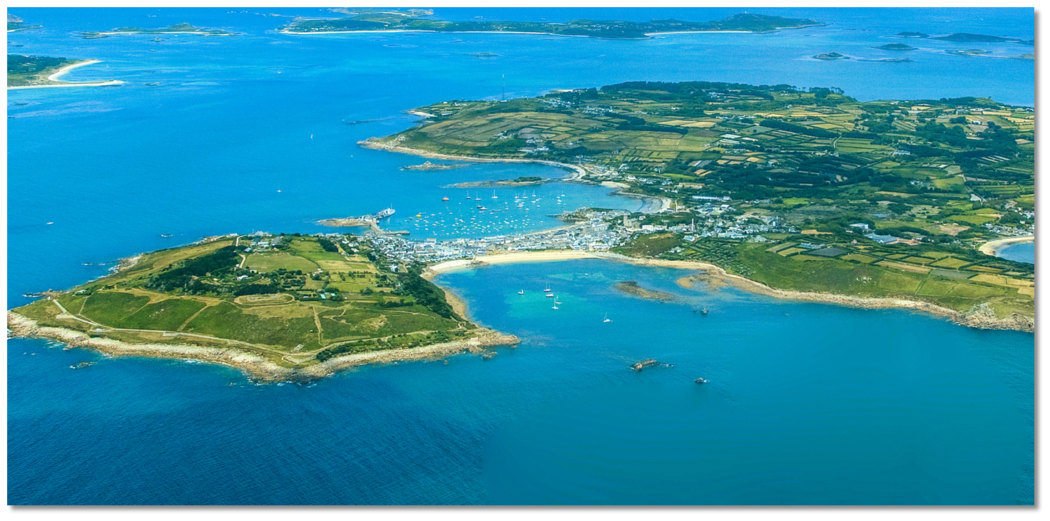
Situated near the southwestern end of St Mary’s Island, Hugh Town is the administrative centre, capital and the largest settlement on the Isles of Scilly. The town is built for the most part on a low sandy isthmus which connects the two granite islands that form St Mary’s, The Garrison, to the west, with the larger body of the island to the east. To the north of the isthmus is a natural bay of St Mary's Pool and to the south Port Cressa Bay.
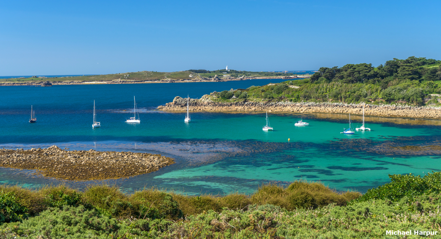
 Porth Cressa as seen from Buzza Hill
Image: Michael Harpur
Sometimes spelt Porthcressa, the bay is sheltered by The Garrison and Morning Point to the west, Carn Mahael and Peninnis Head to the east, and the isthmuses' long south-facing arc of beach at its head. Porthcressa Beach is probably the most popular beach on the island with visitors and locals alike using it for sunbathing, swimming and generally relaxing.
 The view southward from Porth Cressa beach
 Image: Michael Harpur
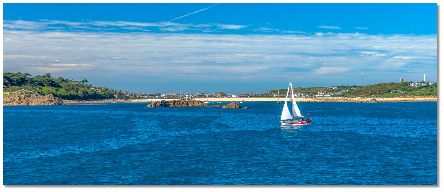
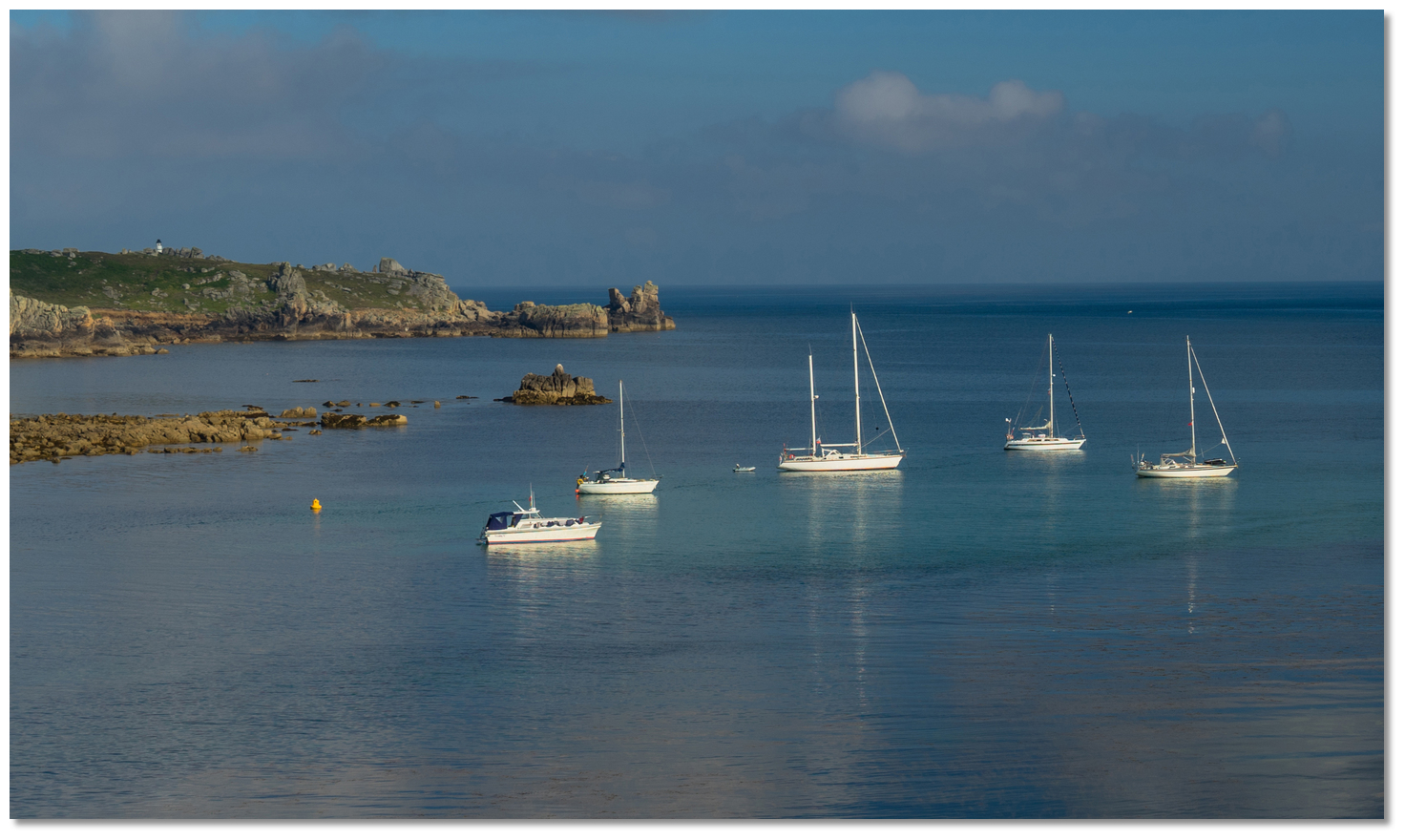
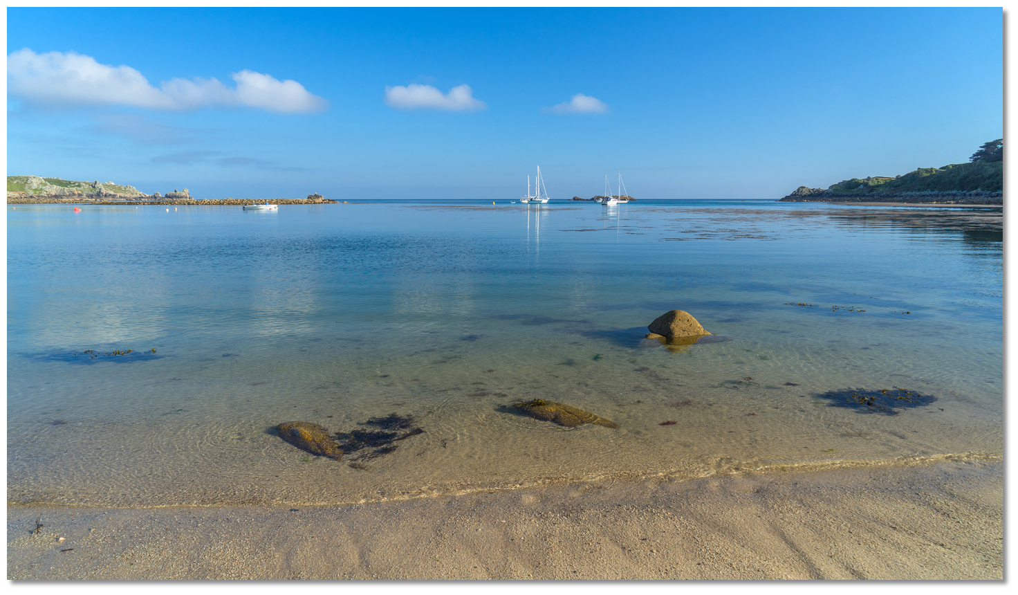
In the recent past, the bay had 14 yellow visitor mooring buoys along its northwestern edge that occupied the best anchoring location in the bay. Always controversial, these moorings are no longer there, leaving ample room again to anchor free of charge in the best part of the bay. This is most useful and it inevitably a popular anchorage. Vessels lying at the seaward end of the bay will need to mount the engine as it is a quarter of a mile dingy run to the shore and it may wind up being a scramble through rocks and weed at low water.
How to get in?
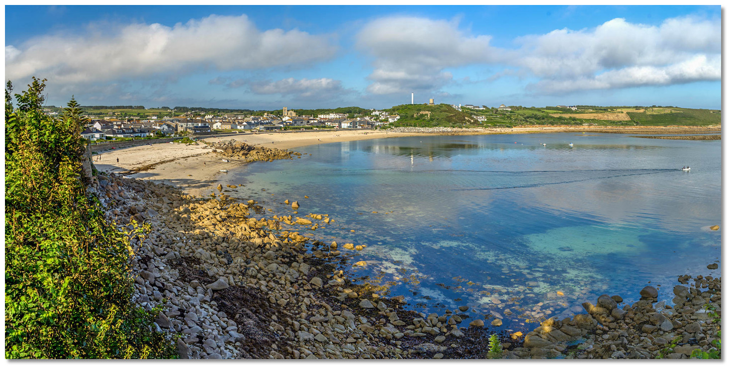
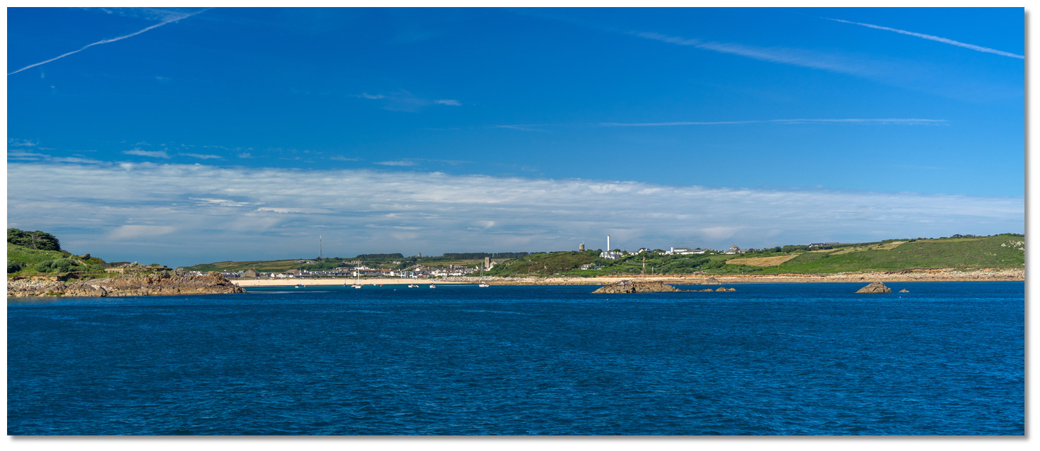 Porth Cressa as seen from the south
Image: Michael Harpur
 Use southwestern England’s coastal overview for Land's End to Isles of Scilly and St Mary’s Pool for general approaches.
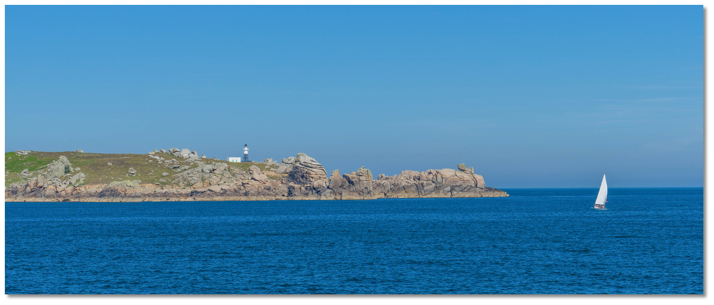
Peninnis Head, with the white round metal tower on a black metal framework of Peninnis Light Fl.20s36m17M, will be clearly visible from some distance to seaward. Being situated immediately to the west of the head it is very easy to positively identify Porth Cressa. On closer approaches, the deep inlet with its sandy beach, the houses of Hugh Town on the isthmus, the Generator Chimney and squat tower on Buzza Hill, on the eastern side, will all be conspicuous. Likewise, many boats are likely to be anchored there during the season. The isolated rocky island of Wras, with its outer extension Biggal Rock, situated on the western side of the entrance will soon be visible on closer approaches.
 Stand Off Peninnis Head to avoid Pollard Rock
Image: Michael Harpur
From the initial fix steer to pass midway between Peninnis Head and The 'Spanish Ledge' East Cardinal Mark, Q(3)10s. Peninnis Head is steep too but stand off the shoreline a couple of hundred metres when proceeding toward Porth Cressa as Pollard Rock, that dries to 1.8 metres at low-water springs, lays about 60 metres south of its inner head.
 Yacht crossing the bay, Morning Point, Wras and Biggal left, Raveen, right
Image: Michael Harpur
Biggal, the outlier rock of the bay, must be circumvented first. It is always visible being 2.4 metres over MHWS and should be passed about 150 metres to port.
 Morning Point Battery with Wras and Biggal beyond
Image: Michael Harpur
Continue into the bay steering north by northwest for Little Port Beach, close east of Little Carne at the head of the bay, passing Wras well to port, 3.4 metres over MHWS. This course avoids Fennel Rock, covers/uncovers to 1.8 metres MHWS, that lies at the north-eastern corner of the large drying rocky ridge extending about 800 metres from Wras.
 Porth Cressa Brow, special marker buoys, Raveen Rock and Peninnis Head
Image: Michael Harpur
It also steers a course that clears the large rock shelf called Porth Cressa Brow, drying to 4.9 metres, that occupies the eastern half of the bay. Raveen Rock, 4.6 metres over MHWS, provides a good mark for the ledge as it lies just inside the ledge’s southwestern extremity.
 Morning Point, Wras and Biggal as seen after rounding Woolpack Point
Image: Michael Harpur
 Vessels arriving from St Mary's Sound should pass the starboard beacon 'Woolpack' FL.G.5s well to port. Then steer to pass Biggal Rock well to port as a covered rock, with 0.6 metres over it, lies between it and Woolpack about 150 metres southwest of Wras. Once Biggal Rock is abeam to port it is safe to start circling around it maintaining a distance of 150 metres and then steering up the bay. Do not be tempted to cut in between Morning Point and the Wras and as rock ledges extend from both of these and the entire area dries completely on big tides.
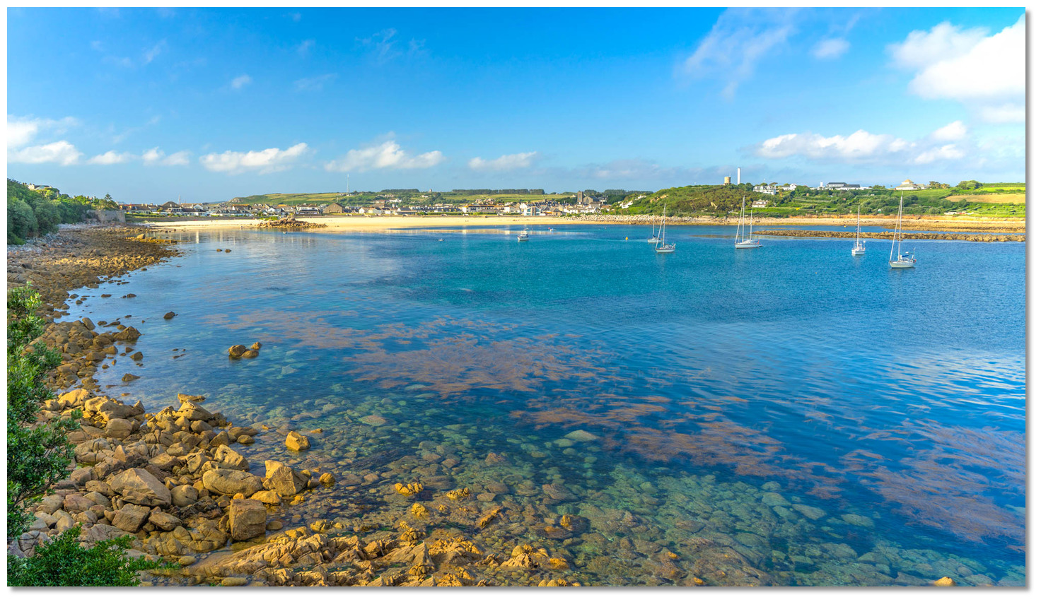 The anchorage as seen from Morning Point in the southwest
Image: Michael Harpur
The best sheltered deep water for yachts carrying any draught is entered in the area between Morning Point and Raveen Rock where 7 metres will be found. The deepwater extends about 200 metres northwestward into the harbour and the 2-metre contour can be found close after a yellow special marker buoy. 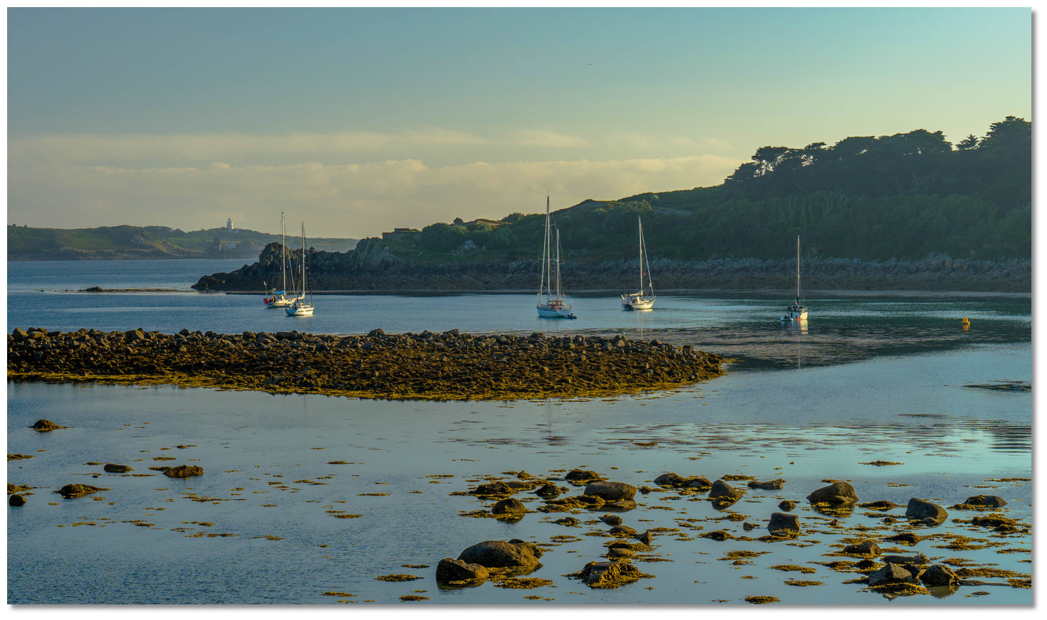 The anchorage as seen from the northeast over Porth Cressa Brow
 Image: Michael Harpur
Thereafter it starts to shallow and soon after starts to dry to 0.3 metres over Brow Breeze rocks that extend across the head of the bay. The special marker buoy shows the location of the western power cable where no anchoring should take place. A fairly large patch of sand with rocky patches, normally visible underwater, provides reliable holding in moderate conditions with a sensible scope of chain.
 Land on Little Porth the smaller beach on the west side
Image: Michael Harpur
Land by tender on the smaller of the two clean sandy beaches called Little Porth on the western side. This leaves the larger beach unimpeded for recreational use.
Why visit here?
It is uncertain the origin of the name Porthcressa. 'Porth' means 'harbour or cove' in Cornish but Cressa is uncertain and may have been derived from the Greek word meaning 'gold'. If this is the case it perfectly describes this south-facing bay with its crescent pale golden sand at its head. The bay is also more than familiar with denizens from the Mediterranean.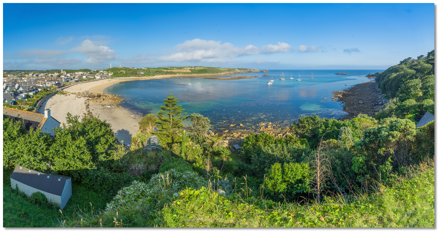 Porth Cressa Bay
Image: Michael Harpur
History of inhabitation dates back to the Bronze Age with evidence uncovered of an early settlement from this period on the east side of the cove. However significant funerary monuments have been uncovered here that date back to the Roman period. It is thought that the Romans used the site for burial.
 Porth Cressa's beach pale gold sand beach in the evening sunlight
Image: Michael Harpur
The dominant funerary rite on Scilly during the Romano-British period involved the burial of a contracted corpse within a cist. A cist was a small box-like chamber sunk into the ground and walled with course rubble. The Porthcressa-type cists, as they have become known to distinguish them from the generally larger Bronze Age cists, were boulder-lined course slab walls capped by large flat natural boulder slabs. The corpses were accompanied by broaches and some of the graves had other objects such as pots, one of these containing a glass bead. The inclusion of brooches suggests that they must have played a special role in the funerary ritual and these have been used to roughly date the cists to the 1st to 4th centuries AD.
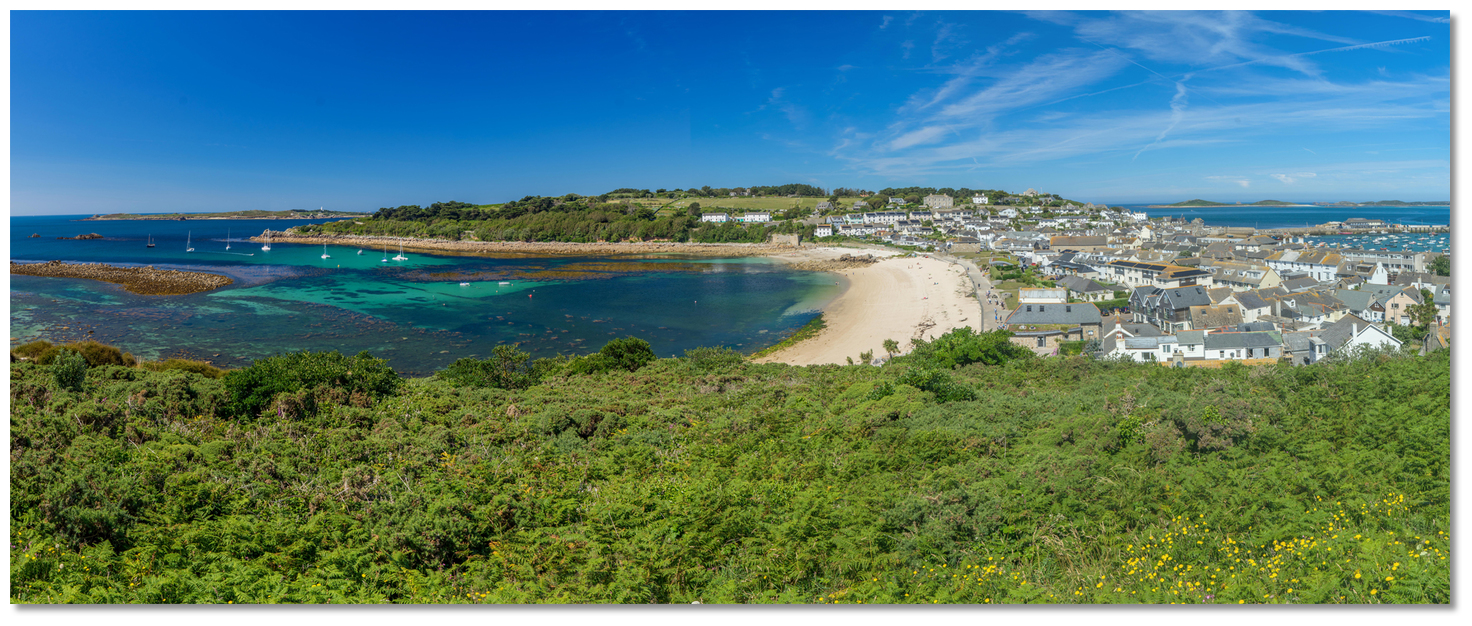
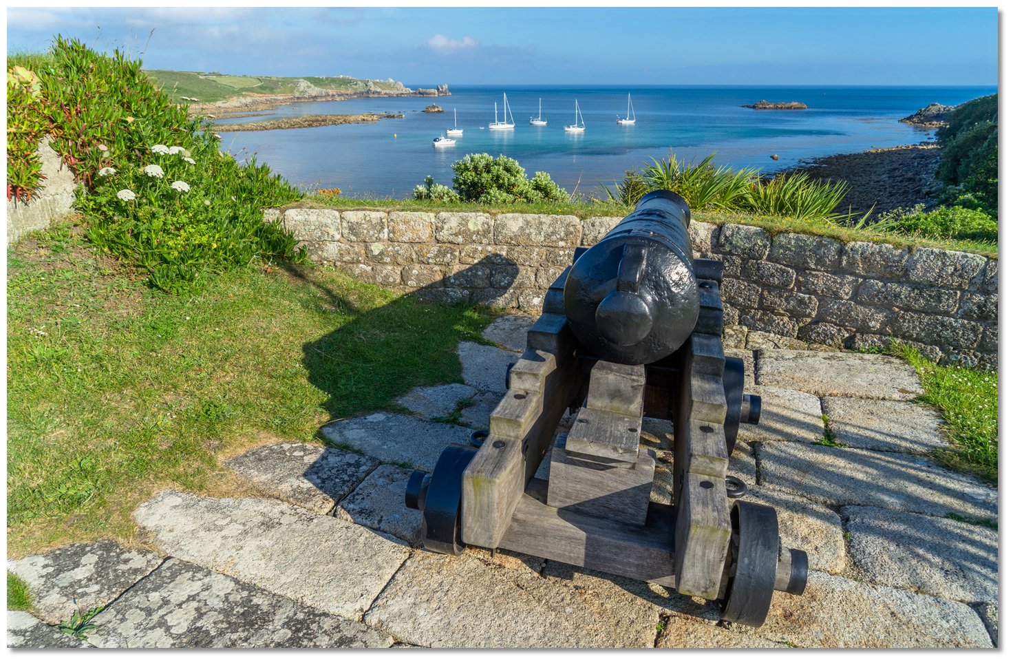 The Garrison's commanding view over Porth Cressa
Image: Michael Harpur
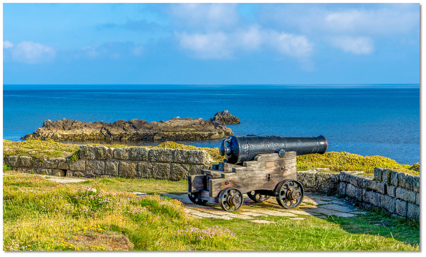
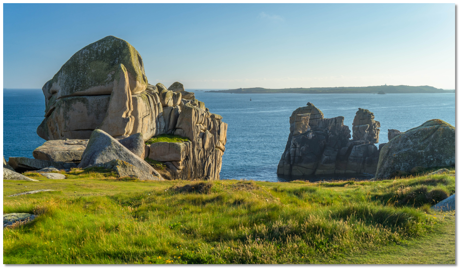
Today, with its golden sandy beach at the back of Hugh Town, Porth Cressa is a more attractive location for the living. Sheltered on both sides by rocky outcrops, its calm waters and with a gradually shelving beach, it provides safe swimming rocky outcrops that offer some interesting snorkelling. There is a delightful promenade above the beach, with a grassy area popular for picnics and a range of visitor facilities including the tourist office and the library overlooking the beach. This walkway leads to The Garrison wall that runs along the western side of the bay providing walks around the whole island fortress. On the western side, a pathway leads out to Peninnis Head which wanders out to a landscape of granite rocks sculpted by wind and sea into the most extraordinary shapes. A short walk over Buzza Hill leads to Old Town the medieval capital of the island.
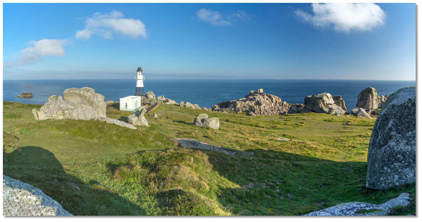 Peninnis Light appears a as spacecraft that has landed into a wind and wave
carved alien landscape
Image: Michael Harpur
From a boating point of view, just the other side of the isthmus from Hugh Town harbour, Porth Cressa provides all facilities of the town without its commercial hustle and bustle. Indeed it feels more a remote haven of peace secluded tranquillity that can be the perfect antidote to the principal port with the constant coming and going of the island ferries. Likewise, for those intending on St Mary’s Pool and are met by unsuitable weather or the tide is running foul on arrival in St Mary's Sound, then Porth Cressa, or The Cove between Saint Agnes and Gugh, provide the ideal solution.
 Spanish Ledge cardinal mark as seen between the wind-sculpted rocks of Peninnis
Head
Image: Michael Harpur
But, always remember, swell can be unpleasant in Porth Cressa. Be prepared to lift the hook at a moment’s notice and vacate at the least hint of a wind shift to the southwest round through south to the southeast or the sudden appearance of any swell from these directions.
What facilities are available?
Facilities as at St Mary’s Pool Public toilets and bins ashore as well as Sibleys Laundry. Takeaway vans above the beach in the evenings are particularly good. A particularly useful resource is the library at the east end of the beach that provides free WiFi.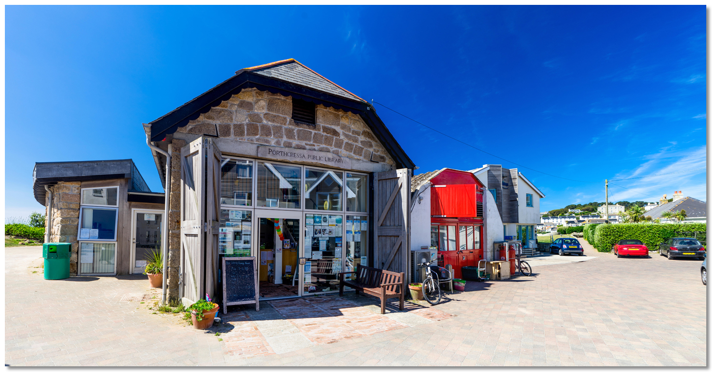 The library behind the promenade at the west end of the beach
 Image: Michael Harpur
All town facilities - shops, pubs and restaurants are immediately behind the beach. The Health Centre, Dentist and Hospital are located above the beach, to the right-hand side. A path leads up the hill directly to them.
With thanks to:
Michael Harpur eOceanic.About Porth Cressa
It is uncertain the origin of the name Porthcressa. 'Porth' means 'harbour or cove' in Cornish but Cressa is uncertain and may have been derived from the Greek word meaning 'gold'. If this is the case it perfectly describes this south-facing bay with its crescent pale golden sand at its head. The bay is also more than familiar with denizens from the Mediterranean.
Porth Cressa BayImage: Michael Harpur
History of inhabitation dates back to the Bronze Age with evidence uncovered of an early settlement from this period on the east side of the cove. However significant funerary monuments have been uncovered here that date back to the Roman period. It is thought that the Romans used the site for burial.
Porth Cressa's beach pale gold sand beach in the evening sunlightImage: Michael Harpur
The dominant funerary rite on Scilly during the Romano-British period involved the burial of a contracted corpse within a cist. A cist was a small box-like chamber sunk into the ground and walled with course rubble. The Porthcressa-type cists, as they have become known to distinguish them from the generally larger Bronze Age cists, were boulder-lined course slab walls capped by large flat natural boulder slabs. The corpses were accompanied by broaches and some of the graves had other objects such as pots, one of these containing a glass bead. The inclusion of brooches suggests that they must have played a special role in the funerary ritual and these have been used to roughly date the cists to the 1st to 4th centuries AD.
The Garrison's commanding view over Porth CressaImage: Michael Harpur
Today, with its golden sandy beach at the back of Hugh Town, Porth Cressa is a more attractive location for the living. Sheltered on both sides by rocky outcrops, its calm waters and with a gradually shelving beach, it provides safe swimming rocky outcrops that offer some interesting snorkelling. There is a delightful promenade above the beach, with a grassy area popular for picnics and a range of visitor facilities including the tourist office and the library overlooking the beach. This walkway leads to The Garrison wall that runs along the western side of the bay providing walks around the whole island fortress. On the western side, a pathway leads out to Peninnis Head which wanders out to a landscape of granite rocks sculpted by wind and sea into the most extraordinary shapes. A short walk over Buzza Hill leads to Old Town the medieval capital of the island.
Peninnis Light appears a as spacecraft that has landed into a wind and wavecarved alien landscape
Image: Michael Harpur
From a boating point of view, just the other side of the isthmus from Hugh Town harbour, Porth Cressa provides all facilities of the town without its commercial hustle and bustle. Indeed it feels more a remote haven of peace secluded tranquillity that can be the perfect antidote to the principal port with the constant coming and going of the island ferries. Likewise, for those intending on St Mary’s Pool and are met by unsuitable weather or the tide is running foul on arrival in St Mary's Sound, then Porth Cressa, or The Cove between Saint Agnes and Gugh, provide the ideal solution.
Spanish Ledge cardinal mark as seen between the wind-sculpted rocks of PeninnisHead
Image: Michael Harpur
But, always remember, swell can be unpleasant in Porth Cressa. Be prepared to lift the hook at a moment’s notice and vacate at the least hint of a wind shift to the southwest round through south to the southeast or the sudden appearance of any swell from these directions.
Other options in this area
Click the 'Next' and 'Previous' buttons to progress through neighbouring havens in a coastal 'clockwise' or 'anti-clockwise' sequence. Alternatively here are the ten nearest havens available in picture view:
Coastal clockwise:
St Mary's Pool - 0.4 miles NThe Cove - 0.8 miles SW
Porth Conger - 0.7 miles SW
Green Bay - 1.8 miles NNW
New Grimsby - 2.1 miles NNW
Coastal anti-clockwise:
Old Town Bay - 0.4 miles EWindmill Cove - 1.1 miles NE
Higher Town Bay - 2 miles NNE
Perpitch - 2.2 miles NNE
Mousehole - 19.7 miles ENE
Navigational pictures
These additional images feature in the 'How to get in' section of our detailed view for Porth Cressa.


| Detail view | Off |
| Picture view | On |
Add your review or comment:
Please log in to leave a review of this haven.
Please note eOceanic makes no guarantee of the validity of this information, we have not visited this haven and do not have first-hand experience to qualify the data. Although the contributors are vetted by peer review as practised authorities, they are in no way, whatsoever, responsible for the accuracy of their contributions. It is essential that you thoroughly check the accuracy and suitability for your vessel of any waypoints offered in any context plus the precision of your GPS. Any data provided on this page is entirely used at your own risk and you must read our legal page if you view data on this site. Free to use sea charts courtesy of Navionics.