

Forming the channel between two islands, Tean Sound provides good shelter from northeast round through east, south, west to northwest. It can, however, be subject to swell at high water, especially with southerly winds, and being a channel it can get choppy in wind-over-tide situations. The approach from seaward requires careful pilotage as it is strewn with rocky islets, rocks and ledges that lie very close to the leading marks. Careful daylight navigation in good visibility is therefore necessary to make any approach, and preferably during settled or light offshore winds. It can be accessed at any stage of the tide, but the ideal time to enter is at low water, when its hazards are mostly visible.


Keyfacts for Tean Sound
Facilities


Nature


Considerations

Protected sectors

Approaches

Shelter

Last modified
August 25th 2022 Summary
A good location with careful navigation required for access.Facilities
Nature
Considerations
Position and approaches

Expand to new tab or fullscreen
Haven position
 49° 57.956' N, 006° 18.368' W
This is off Lower Town quay in the position of the moorings.
What is the initial fix?
The following Tean Sound Initial Fix will set up a final approach:
 49° 59.000' N, 006° 18.299' W


What are the key points of the approach?
Offshore details are available in southwestern England’s coastal overview from Land's End to Isles of Scilly  .
.
.- Steer a course of 180.3° towards St Mary's TV Tower, keeping Goat’s Point just open until Tinkler's Point.
- Veer off slightly to starboard passing Lion Rock.
- Veer off slightly to port passing Plum Island.
- Pass about 120 metres off Tinkler's Point and 80 metres off Goat's Point to avoid Thongyore Ledge.
Not what you need?
Click the 'Next' and 'Previous' buttons to progress through neighbouring havens in a coastal 'clockwise' or 'anti-clockwise' sequence. Below are the ten nearest havens to Tean Sound for your convenience.
Ten nearest havens by straight line charted distance and bearing:
- St Helen's Pool - 0.7 nautical miles W
- Old Grimsby - 1 nautical miles WSW
- Higher Town Bay - 1.1 nautical miles ESE
- Bull's Porth - 1.2 nautical miles E
- Bread & Cheese Cove - 1.4 nautical miles E
- Perpitch - 1.6 nautical miles ESE
- New Grimsby - 1.7 nautical miles W
- Green Bay - 1.9 nautical miles WSW
- Windmill Cove - 2.1 nautical miles SSE
- St Mary's Pool - 2.9 nautical miles S
These havens are ordered by straight line charted distance and bearing, and can be reordered by compass direction or coastal sequence:
- St Helen's Pool - 0.7 miles W
- Old Grimsby - 1 miles WSW
- Higher Town Bay - 1.1 miles ESE
- Bull's Porth - 1.2 miles E
- Bread & Cheese Cove - 1.4 miles E
- Perpitch - 1.6 miles ESE
- New Grimsby - 1.7 miles W
- Green Bay - 1.9 miles WSW
- Windmill Cove - 2.1 miles SSE
- St Mary's Pool - 2.9 miles S

Chart

What's the story here?
 Tean Sound as seen from the south
Image: Visit Isles of Scilly
Tean Sound is a narrow, rock-fringed but mostly deep passage between St Martin's and the uninhabited island of Tean. It has a quay on the St Martin's side, overlooked by Karma St Martin's Hotel and Lower Town. The quay was constructed as part of the earlier St Martin’s Hotel in 1989 and remains in private ownership, but with a right of use by the public. Often also called the Hotel Quay, it is used at low tide when Higher Town Quay, the principal landing point, is too shallow to approach.
 Tean Sound
Image: Michael Harpur
Lower Town is one of the island’s three main settlements, along with the central Middle Town and eastern Higher Town, which has the principal quay. In all these cases, despite the 'town' in their titles, they are not large settlements. The north/northeastern side of Scilly is much less developed than the other inhabited isles; St Martin’s as a whole, including its scattering of farms and cottages, has a population of fewer than 150 people. As such, all three are very small hamlets. Hence, the sound is a very quiet berth that is deep, picturesque and among the best of the handful of anchorages that St Martin’s has to offer to deeper-draught boats.
It also is a means to enter into the group from seaward and then – in good conditions and with the sufficient rise of tide, preferably flooding – use the inner channels of Crow Sound to Tean Sound
and Old Grimsby Sound from St Mary’s Road to access to all the havens to the northeast and east, as well as connecting to St Mary's Road. Karma Hotel, St Martin's, above the quay
Image: Visit Isles of Scilly
The sound has a number of moorings laid in the protected pool in front of Karma St Martin’s. Though the buoys are located in protected waters, tidal streams in the channel can attain 2 knots during springs, which can make it choppy in wind-over-tide situations. All moorings are available on a first-come, first-served basis, for a fee of £20 per night. The moorings are managed by an independent company but the Karma St Martin collects the fee on their behalf and it may be paid at the reception. The Karma St Martin provides a discount of 10% on food and beverage for those who avail of the moorings. Karma St Martin's Resort Direct Dial
 +44 1720 422317,
  reception@karmastmartins.com,
  www.karmagroup.com.
  View over the moorings from Karma Hotel, St Martin's
Image: Visit Isles of Scilly
It is also possible to anchor to the north or south of the moorings in the centre of the channel, according to conditions. Charted depths in the sound between Thongyore Ledge and Southward Carn (the southwestern extremity of St Martin's) are between 5.5 and 8.2 metres, so it is quite deep. Once again, this is in the full stream of the channel over a bottom of mostly rock, so an anchor that can deal with rock holding is essential, while a second anchor is recommended to avoid the risk of dragging.
 A schooner on Karma Hotel moorings
Image: Visit Isles of Scilly
It is possible to step out of the main tidal stream and anchor to the southwest of Crump Island, situated off the southernmost point of Tean. As is always the case in the island group as a whole, shoal draught boats or vessels that can take the ground will enjoy the best of it by being able to berth out of the main tidal stream in the channel.
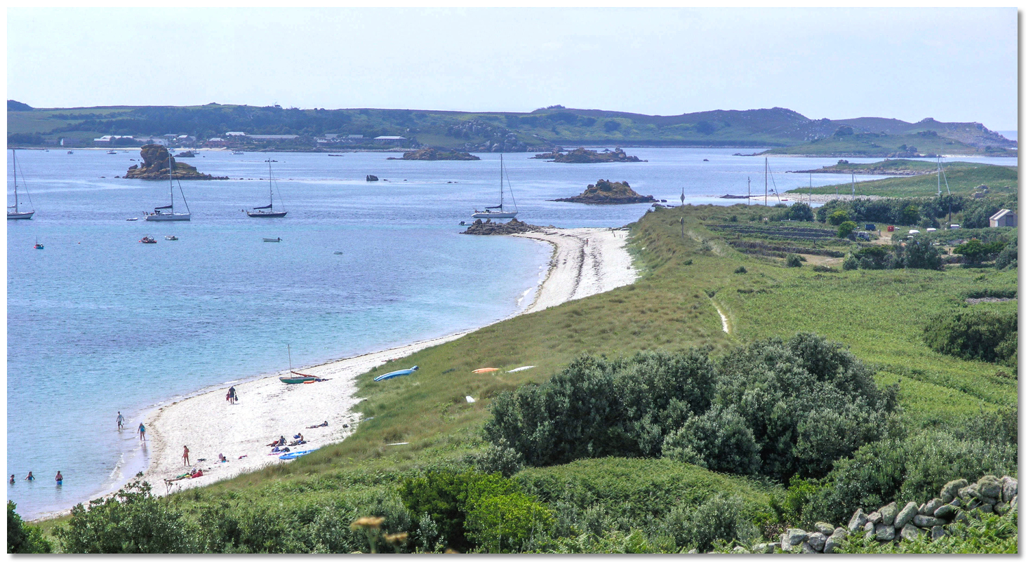 Yachts anchored in the southern end of Tean Sound
Image: Burke Corbett
Southerly winds at high water can be somewhat uncomfortable and there is an alternate anchorage available at Porth Seal, off the northern seaward approaches to Tean Sound. This is a bight off the northeast end of St Martin's, south of Plumb Island and its islets, and north of Tinkler's Point. The bottom here is a mix of rock, boulders and patches of sand with much weed, so a trip line is advisable.
 Shoal draught vessels on the beach below Lower Town Quay
Image: Michael Harpur
How to get in?
 Tean Sound and its northern entrance
Image: Michael Harpur
At high water, there are several alternative approaches to permit access from St Mary’s Road and Old Grimsby Sound. Much of the area between Tresco, Tean and St Martin’s uncovers at LAT, but the principal small boat channels only dry to 1 metre at their shallowest. So, with MHWS being 5.7m and MHWN 4.3m, high water provides ample depth for leisure craft to move freely about. Pilotage through the channels requires some care, however, and on a first visit should be attempted only with the benefit of a rising tide. Although the ideal time to enter is at low water, when its hazards are mostly visible, a seaward entry in settled conditions can be made at any stage of the tide and is largely seen as the easiest approach. It is this we describe here.
 There are several alternative approaches from between the islands at high water
Image: Michael Harpur
Tean Sound may look thoroughly uninviting on the chart; the unmarked approach path runs in between two broken ledges, with rocks that are covered and uncovered stretching out more than ¾ mile out from the entrance; between Tean and St Martin's the seaway reduces, at its narrowest point between fringing low-tide rocks, to be only about 120 metres – none of this looks appealing.
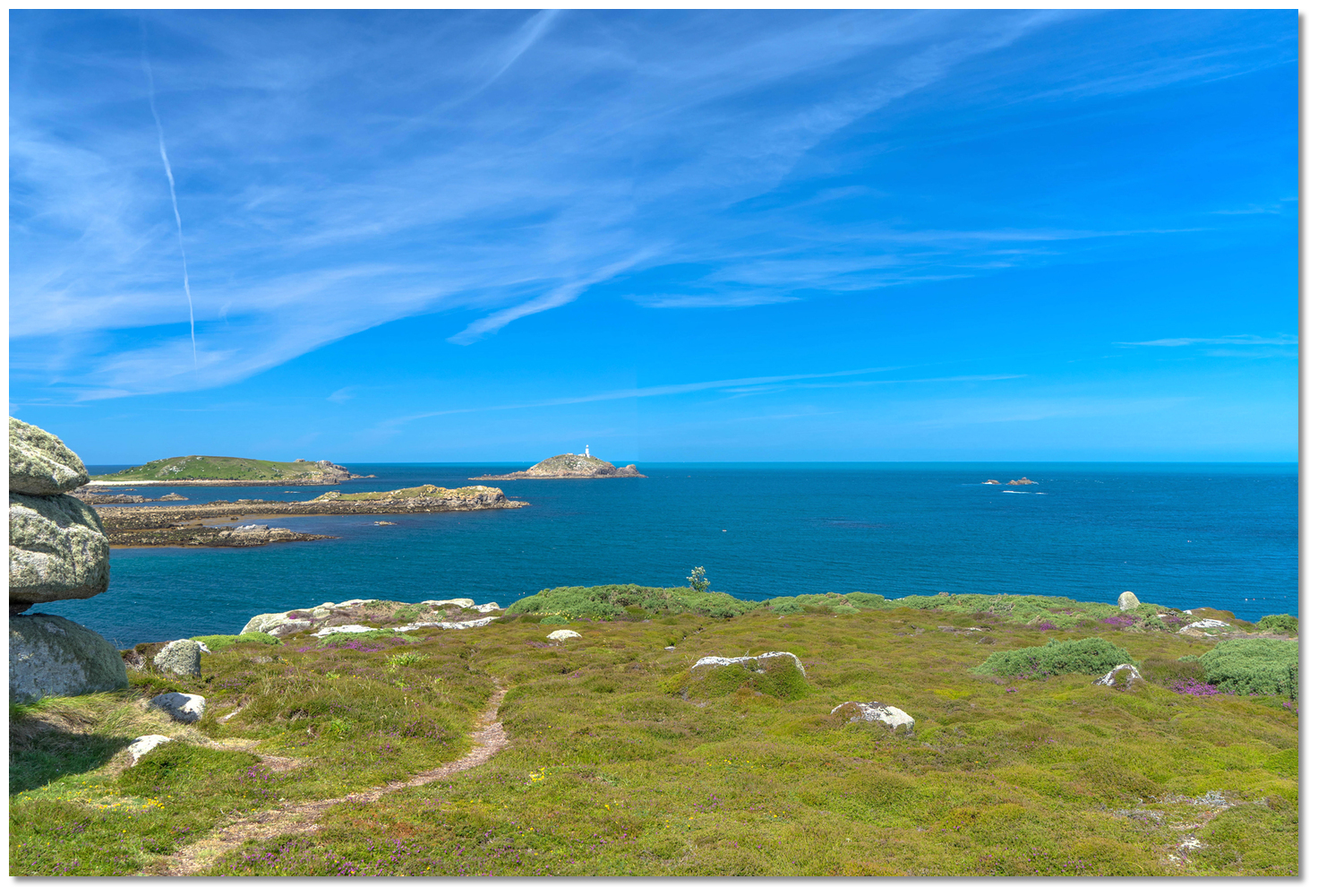
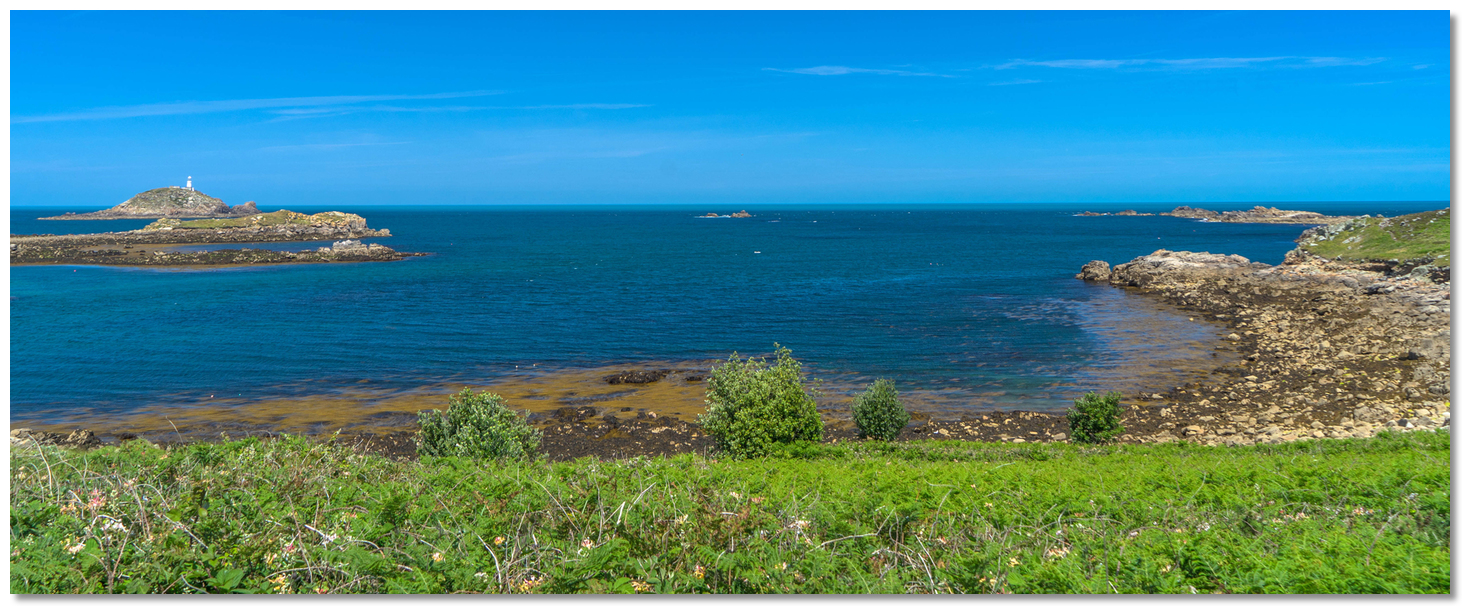
Nevertheless, it is deep and has a conspicuous natural transit that makes it readily navigable in daylight during moderate conditions. Tean Sound and Helen’s Gap are the two most frequented passages from the north into the main anchorages to the west of St Martin's. Although the pilotage is slightly more demanding for Tean Sound, it does not have St Helen’s Gap’s inner sand bar and so an approach is possible at low water, when the vast majority of its hidden rocks are visibly exposed. The commencement area of the approach may be positively identified by Round Island and its prominent all-white lighthouse, Fl.10s55m18M, which provides an excellent daymark for the north end of the archipelago. So, in fair weather, with good visibility for eyeball identification and with the absence of swell, Tean Sound presents little issue.
 St Helen's, Pednbrose, Round Island and Black Rock, as seen from St Martin's
Image: Michael Harpur
 Use southwestern England’s coastal overview from Land's End to Isles of Scilly for local approaches. Vessels approaching from the east should keep north of a latitude of 49 59.000 N to clear White Island and Lion Rock.
 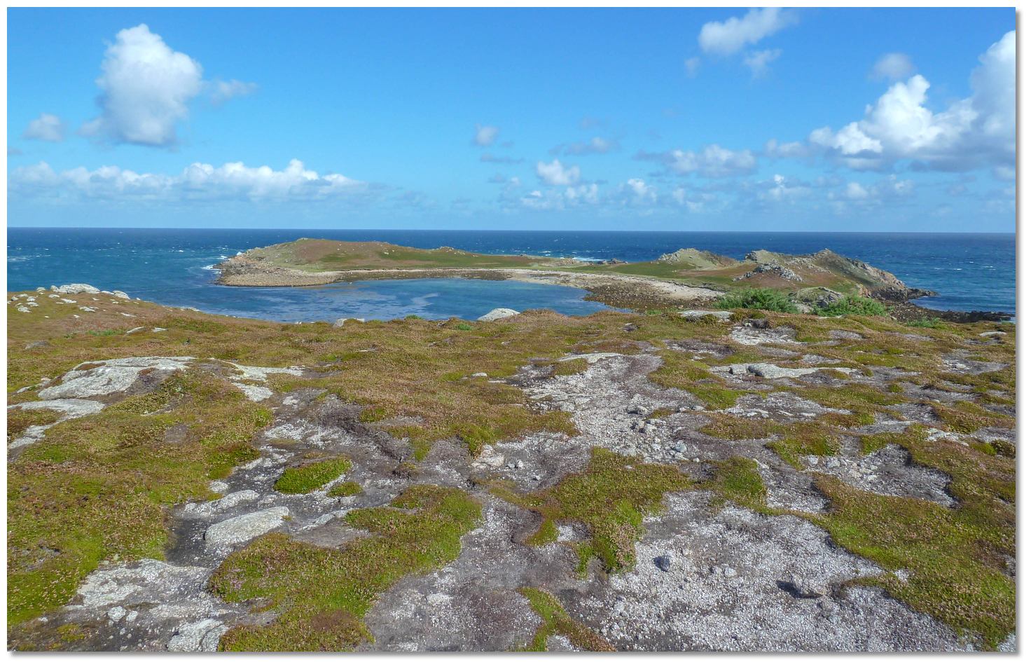 White Island
Image: Alistair Young via CC BY 2.0
Vessels approaching from the west or north, keep up towards Round Island, taking care to avoid the Eastward Ledge (drying to 2.9 metres), located 150 metres to the northeastward of the island. Attain a latitude of 49 59.000 N to clear the always covered Deep Ledges, which have 0.6 metres over at LAT.
 The 180.3° course, right, of St Mary's TV Tower just open of Goat’s Point, as seen from St Martin's
Image: Michael Harpur
 From the initial fix, steer a course of 180.3° towards St Mary's TV Tower, keeping Goat’s Point just open. The transit will lead in safely all the way to Tinkler’s Point, the northwestern extremity of St Martin’s. It is prudent to come slightly off transit in a couple of places, however, as it passes unnecessarily close to rocks.
 Lion Rock
Image: Michael Harpur
The first of these is very early on, where it makes sense to come off transit to starboard to pass about 250 metres to the west of Lion Rock. This is the most northerly rock cluster, reaching 3 metres high, with the most westward showing rock being 1.1 metres. Standing off them avoids the ledges extending westward from the cluster. The transit passes safely to the west but unnecessarily close, so breaking off transit is prudent. Using the sounder to follow the 20-metre contour is another way to keep comfortably clear.
 Black Rock
Image: Michael Harpur
Do not venture too far west as here is the other broken ledge extending out from the sound, comprising Deep Ledges, Tide Rock, Black Rock, Black Rock Ledges and south Ledge, which must be passed in succession to starboard. The heads of Black Rock will be clearly visible as they always show; the gap between them and Lion Rock is about 400 metres. Maintain a careful watch, nevertheless, as the tide runs strongly across the approach; when Black Rock is abeam, step back in transit.
 Pernagie Island, ¼ mile within Lion Rock, as seen from St Martin's
Image: Michael Harpur
When the rocky Pernagie Island (9 metres high) draws abeam to port, the southern end of Black Rock Ledges (which uncover and dry to 1.9 metres) are opposite, and South Ledge (which dries 1.4 metres) is well off track to starboard. Here the 10-metre contour is reached and depths begin to fall rapidly.
After Pernagie Island, come slightly off transit to port towards Plumb Island (13 metres) and its cluster of smaller islets. This avoids a covered rock (awash at chart datum to starboard) and then Rough Ledge (dries 1.4 metres) between Pednbrose (the prominent island immediately to the north of Tean) and Plumb Island, with its rocky outcrops. Once again, the transit passes safely to the east of both of these but unnecessarily close, so breaking off transit slightly to the east is prudent.
 Thongyore Ledge, just visible underwater
Image: Michael Harpur
Returning to transit south of Plumb Island and its cluster of smaller islets will lead into a position about 120 metres off Tinkler's Point, the northeast corner of St Martins. From there on, navigate the sound, steering to stand about 80 metres off the next point (Goat's Point) to avoid Thongyore Ledge, which dries 1.4 metres on the starboard side of the channel – do not be deceived by local boats mooring inside of it on the Tean Island side.
 Passing Thongyore Ledge
Image: Michael Harpur
The moorings, marked with green or red buoys, will by now be visible, showing the centre of the channel. Lower Town Quay will also be seen 150 metres south of Goat's Point. It has an unlit beacon with a topmark at its seaward end.
 Approaching Lower Town Quay at low water
Image: Michael Harpur
Pick up the moorings or anchor according to conditions north or south. Holding is poor and mostly rock. Shelter from most winds can be found by searching around or moving to Porth Seal. Moorings in the channel off Lower Quay
Image: Michael Harpur
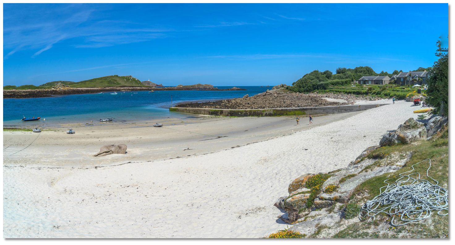
If possible, use the beach for landing so as not to obstruct the island ferries. It is possible to use the quay if clear, but pull the tender up well clear of the end.
 Use the beach for landing so as not to obstruct the island ferries
Image: Michael Harpur
Why visit here?
Tean, pronounced Tee-Ann (hence, more formally spelled with a diaeresis – Teän), derives its name from Saint Theona. The island was the site of an early Christian settlement and the ruins of her hermitage remain, where she would have prayed. Tean, as seen from Tresco, with Great Hill standing prominently on its eastern end
Image: Michael Harpur
The ruins of an old chapel and churchyard are located to the west of Great Hill. It is a simple rectangular 8th-century stone building that, originally, probably had a small wooden chapel. Sixteen early medieval graves were found on Tean, which included the remains of an adult female and four young children, seemingly making it a lay cemetery. The woman’s skeleton was found under the east wall of the church beneath the position of the alter, which suggests she could have been of a nun or perhaps even St Theona herself. Some of the other remains, however, show evidence of harder lives. Two of the male burials displayed signs of leprosy, which would most likely have been contracted in the Mediterranean or the Middle East. Another of the skeletons showed healed amputations of the left hand and right foot, possibly the result of punishment.
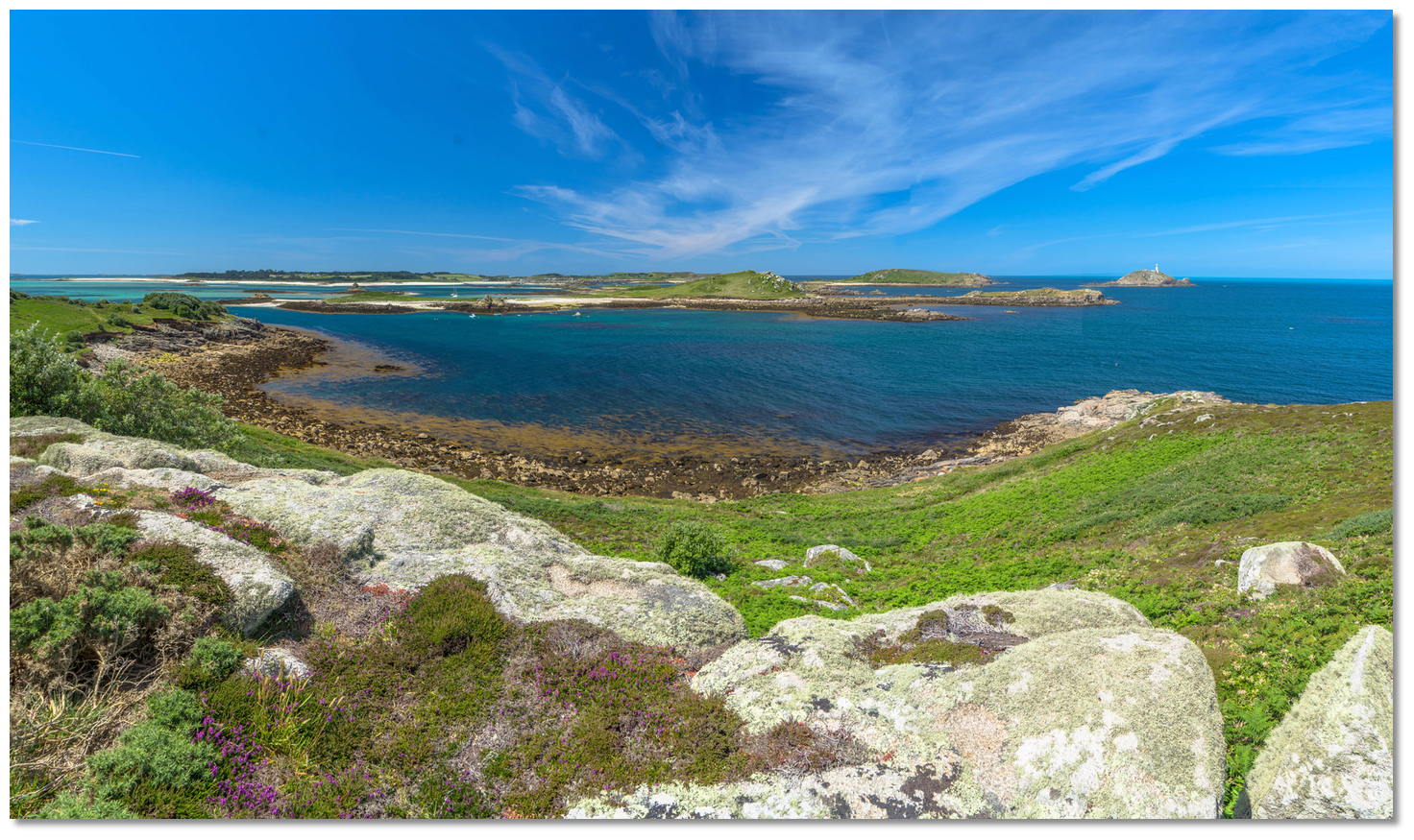
 View over the approaches to Tean Sound from the north end of St Martin's
Image: Michael Harpur
The history of human inhabitation of Tean reaches back much further than this, and it was not just a place for hermits. There is a Bronze Age grave on the low-lying island of Old Man of Tean, adjacent to its western end, as well as on Great Hill to the east, which at 30 metres represents the highest point of the island. The cist grave contained two bronze brooches and the remnants of an iron ring or penannular brooch that all dated to the first century AD. A late Roman/early medieval midden (refuse heap) exposed in the very low cliff-face illustrates that the island had a multi-period occupation, both domestic and ecclesiastical. Numerous pieces of heavily corroded iron, including a gouge and fragment of a small saw blade, possibly Roman period, were found in the midden along with a fragment of Roman or early medieval glass. Remains of field boundaries that can also be seen at extreme low tides date to the Romano-British period.
 View from the Stone House Pub, one of the best pub views of the group – if not the UK
Image: Michael Harpur
It is believed a settlement on Tean may have served as a small trading port for the rest of Scilly during this period. The islands benefited from being a convenient point for sailors to land for water and provisions. These would have been exchanged for East Mediterranean amphoras containing wine and olive oil, and barrels of Gaulish wine, accompanied by domestic pottery such as jars, beakers, bowls and pitchers. It is suggested that these external contacts led to the introduction of Christianity to the island group during the late-5th or early-6th centuries. Nevertheless, by the time of the 1652 survey, Tean was recorded as uninhabited.
 Kelp-burning, by Jack Butler Yeats
Image: Public Domain
 The island ferry alongside Lower Town Quay
Image: Michael Harpur
The Nance family remained for several generations, grazing their cattle and burning copious quantities of seaweed. Because the process was so easily carried out on a domestic scale, it was not long before other islanders followed the Nances’ example. Scilly had an abundance of seaweed, and 20 tonnes of wet weed yielded 5 tonnes of dry and 1 tonne of kelp ash. The sale of the ash to merchants soon became an important part of Scilly’s economy, vitally supplementing islander incomes.
 Boaters enjoying Karma Hotel, St Martin's, overlooking the moorings
Image: Burke Corbett
The ash became an effective substitute for expensive Spanish barilla soda, prepared from salt marsh plants, which, until the 19th century, was the primary source of soda ash and hence of sodium carbonate. One hundred fires are said to have burnt at one time and it became an island mainstay for some 150 years.
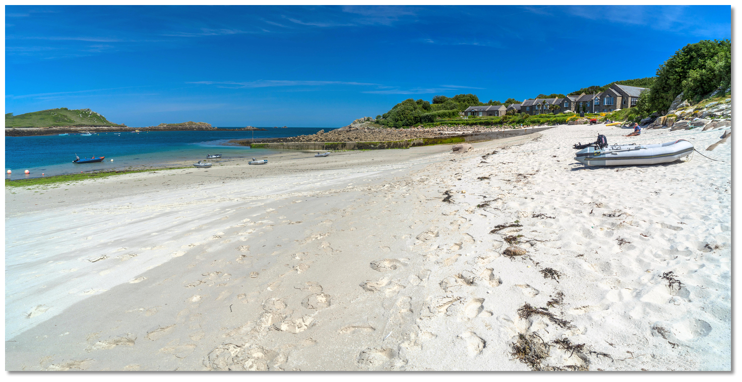
 St Martin is famous for its white sand beaches
Image: Michael Harpur
The ash reached its height during the Napoleonic Wars, when Britain was largely isolated from Europe and the Spanish barilla soda was unavailable. At this time, it became increasingly used in the production of soap. These factors combined to vastly inflate the value of kelp ash, but the bottom quickly fell out of the market after the Napoleonic Wars. Cheaper foreign supplies of soda ash and new chemical processes for the manufacture of alkali on an industrial scale led to the decline of Scilly’s kelp-burning industry. It had all but ceased by 1835.
 Shallower-draught vessels drying out in Tean's East Porth
Image: Michael Harpur
Only about a dozen kelp pits on the islands are known to survive from over 100 recorded at the height of kelp burning. The traces of small quays near surviving kelp pits and the remains of the dwelling of the Nance family can still be discerned today on Tean. A kelp-burning pit on the costal margin at the foot of the western slope of Tinkler's Hill can be visited, while there is another in a section of an eroding dune face to the south of Lower Town, St Martin’s.
Image: Michael Harpur
Tean today is flattish and with several sandy crescents, where those that can take to the bottom may dry. The island comprises a series of granite tors, the highest of which, Great Hill, overlooks the sound. It is now a reserve for wildflower and home to a growing number of greater and lesser black-backed gulls.
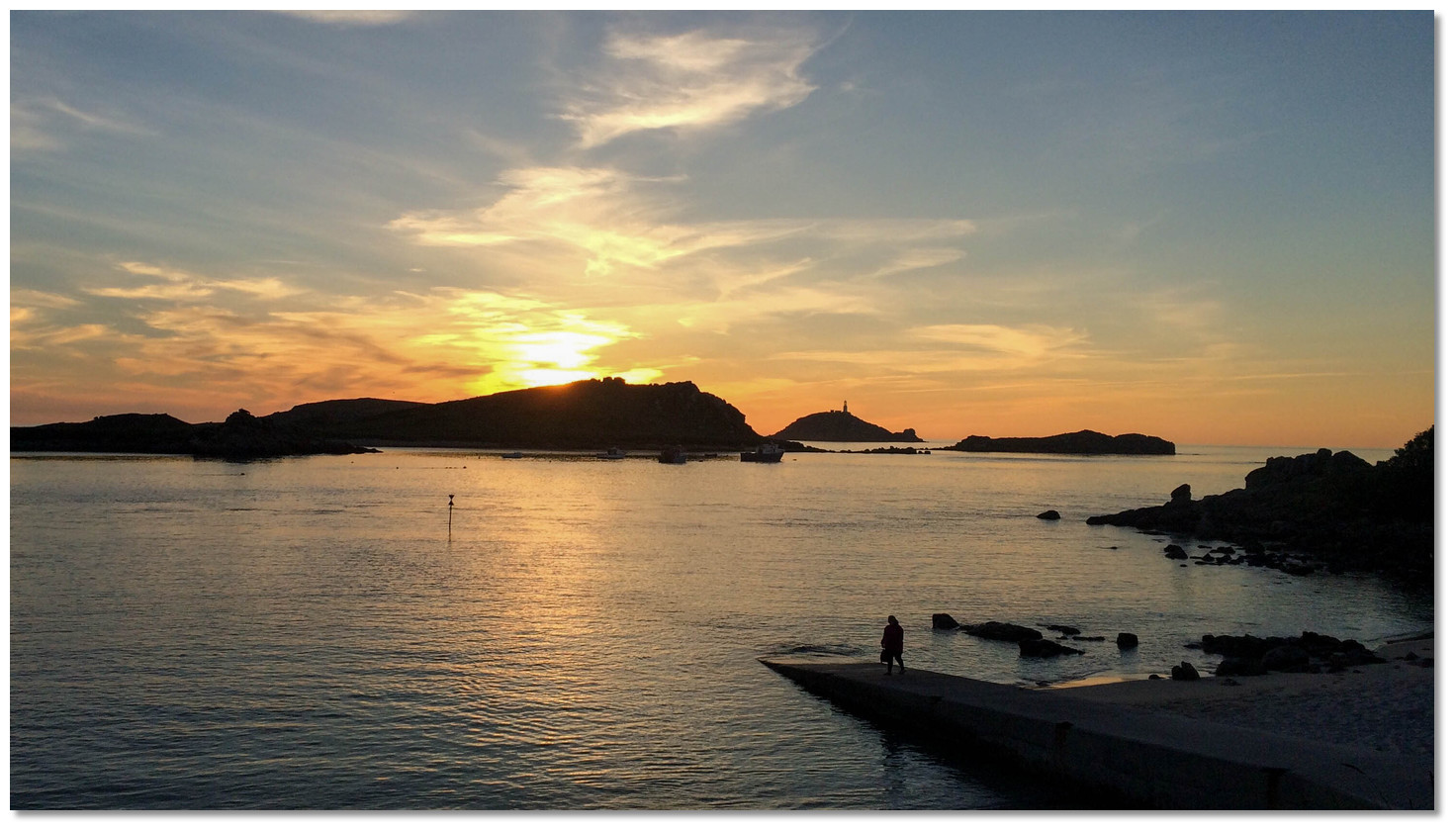 Sunset over Tean's Great Hill, as seen from Lower Town Quay
 Image: Jeremy Pearson via CC BY-SA 2.0
From a boating perspective, Tean Sound not only provides the opportunity to explore the uninhabited island, but, more importantly, it is also the best anchorage for deep-draught vessels to access St Martin’s, and one of the most protected of the archipelago. Both islands are wonderfully picturesque, tranquil and a delight to visit. The northernmost of the main islands, St Martin’s, is renowned for its stunning beaches and this is well exemplified here. All around are crystal-clear waters, idyllic beaches and a prevailing sense of calm.
What facilities are available?
Water in small quantities in jerry cans can sometimes be obtained from the hotel. There is no fuel available on the island. There are no public shower facilities on site, however, the Karma Group Hotel may be able to provide them for a surcharge.There are two options to get fresh vegetables – a short walk from Lower Town and a little further near St Martin’s Campsite: Scillonian Fayre Island Vegetables +44 7769 613731, Scilly Organic Fruit & Vegetables, +44 7528 136678. Middle Town has better offerings with St Martin’s Stores & PO, which includes an off-licence, +44 1720 422801 open 0900-1700 daily, closed for lunch, and open for an hour on Sunday mornings. The Island Bakery, +44 1720 422111, is also nearby.
You can eat out at Karma St Martin’s Hotel, +44 1720 422368, and just above on the hillside at The Seven Stones Inn, +44 1720 423777. Further afield are Little Arthur Café & Bistro, +44 1720 422779, and Adam’s Fish & Chips, +44 1720 423082, in Higher Town.
With thanks to:
Michael Harpur eOceanic.

Add your review or comment:
Please log in to leave a review of this haven.
Please note eOceanic makes no guarantee of the validity of this information, we have not visited this haven and do not have first-hand experience to qualify the data. Although the contributors are vetted by peer review as practised authorities, they are in no way, whatsoever, responsible for the accuracy of their contributions. It is essential that you thoroughly check the accuracy and suitability for your vessel of any waypoints offered in any context plus the precision of your GPS. Any data provided on this page is entirely used at your own risk and you must read our legal page if you view data on this site. Free to use sea charts courtesy of Navionics.