
This provides a set of waypoints that lead between Cork Harbour and Mizen Head. It also provides a detailed coastal description for the entire distance to support local navigation for those intending to come close inshore or approach one of the havens along its length. The sequence of description is from east to west or coastal clockwise, as follows:

- • Close South of the Old Head of Kinsale
- • South of The Stags
- • South Of Clear Island
Why sail this route?
This is a coastal sequence for cruisers who want to stay in inshore waters to enjoy the coastal scenery that this simply beautiful sailing area has to offer. It is also conveniently close to the many listed passage havens in the islands, bights and estuaries described along the way.What are the navigational notes?

OVERVIEW
The sixty-three miles of coast between Cork Harbour and Mizen Head is one of the countries prime leisure sailing destinations as well as being the normal landfall for vessels approaching Ireland from the Atlantic Ocean.
The section of coast is characterised by rock cliffs interspersed by numerous headlands and peninsulas. The area near Clear Island, the south-westernmost corner of Ireland, is high and bold with the northerly mainland increasing in height in the backdrop. To the east of Clear Island, the shore retains its bold aspect but is less indented.
The southwest portion of the coast takes the full violence of the North Atlantic’s prevailing westerly gales and is subject to heavy seas and swell. This has created the irregular broken aspect particularly within the area between Mizen Head and Cape Clear Island. Here the coast is indented with a broken bay that abounds in islands, bights and estuaries. It offers a host of safe and beautiful anchorages. The seas become less turbulent as a vessel progresses to the east and likewise the coastline.
The coastline is relatively free of hidden dangers. Fastnet Rock, with a lighthouse, lies about nine miles east-southeast of Mizen Head. It has a Traffic Separation Scheme established to the southeast of the rock. Inshore the well covered but breaking Daunt Rock, off the entrance of Cork Harbour, and the 20 metres high Stag Rocks, off Toe Head, are the principal dangers. There are a few additional off-lying dangers that lie off the salient points.
Tides are weak in this area with spring rates seldom exceeding a maximum of 1 to 1.5 knots offshore although they can run stronger off headlands.
Cruisers should pay particular attention to the areas excellent weather forecasting and not risk a gale at sea over what would most likely be a lee shore here. On the first appearance of a change, seek shelter in one of the many havens the coast has to offer. Marine farming in and around this coastal area is rapidly growing. Large steel-jointed fish cages with tubular rubber sides, are marked on the charts but may be placed anywhere, and the structures are hardly visible. Each cage is required to be marked by two yellow flashing lights and a radar reflector.
The complete course is 63.17 miles from the waypoint '½ a mile east of the Cork Sea Buoy' to '½ a mile southwest of Mizen Head' tending in a west south westerly direction (reciprocal east north easterly).
½ a mile east of the Cork Sea Buoy, 51° 42.935' N, 008° 14.910' W
The Cork Sea Buoy has LFl 10s and is situated 5 miles south of the Cork Harbour entrance. The waypoint is in the alignment 354°T of the leading lights at Dogsnose situated about 1½ miles within the entrance and on the east side of Cork Harbour.
► Next waypoint: 12.62 miles, course ⇓ 237.38°T (reciprocal ⇑ 57.38°T)
250 metres south of the Old Head of Kinsale headland, 51° 36.113' N, 008° 32.018' W
This is close in under the Old Head Of Kinsale headland where there stands a lighthouse, black with two white bands, Fl (2) 10s 72m 20M. The southern side of projecting headland has steep cliffs. Comming in close under the headland passes to the north of a race, or overfalls, that extend for nearly a mile southward of the head, that set on the ebb tide it in a south-westerly direction, and on the flood to a south-easterly direction.
► Next waypoint: 27.42 miles, course ⇓ 251.56°T (reciprocal ⇑ 71.56°T)
¼ south of Kowloon Bridge South Cardinal (The Stags), 51° 27.323' N, 009° 13.735' W
This passes south of Toe Head and The Stag Rocks, a cluster of rugged, precipitous rocks, 20 metres high, that lies ¾ of a mile south of the headland. A wreck lies about 0.2 of a mile southwest of The Stags and it is marked by Kowloon Bridge south cardinal buoy, Q(6)+L Fl.15s which is moored 800 metres southward of The Stags.
► Next waypoint: 10.99 miles, course ⇓ 256.16°T (reciprocal ⇑ 76.16°T)
½ a mile south of the southernmost point of Cape Clear (Clear Island), 51° 24.675' N, 009° 30.830' W
This is south of Clear Island's southernmost extremity Blananarragaun.
► Next waypoint: 12.14 miles, course ⇓ 279.16°T (reciprocal ⇑ 99.16°T)
 is moulded into the lower reaches of the River Lee. Reportedly the second largest natural harbour in the world and Ireland's second-largest port, it is one of the most secure and easily accessed harbours in Ireland. Having the separate ports of Cork, Cobh, Whitegate and Ringaskiddy, within its confines, it is the principal south coast commercial harbour and a key centre for leisure craft sailing. The harbour offers a host of berthing opportunities with shelter from all winds and seas. Ireland’s second-largest city, Cork, is situated on both sides of the river about fifteen miles above the entrance.
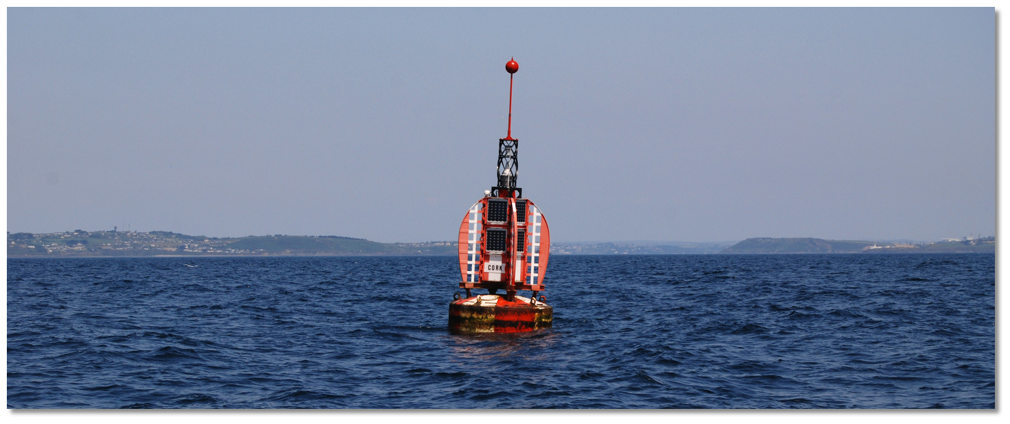 Cork Sea Buoy with Cork Harbour entrance in the backdrop
 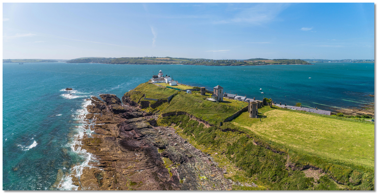 Roche’s Point Light and the disused signal towers on the eastern entrance
 The entrance to Ringabella
 Ringabella Creek overlooked by Fountainstown
 Robert's Cove
 Robert's Cove opening up
 Roche Point light on the east side of the entrance to Cork Harbour
 Oyster Haven with Kinsale Harbour in the backdrop
 The Sovereigns as seen from a vessel approaching Oyster Haven
 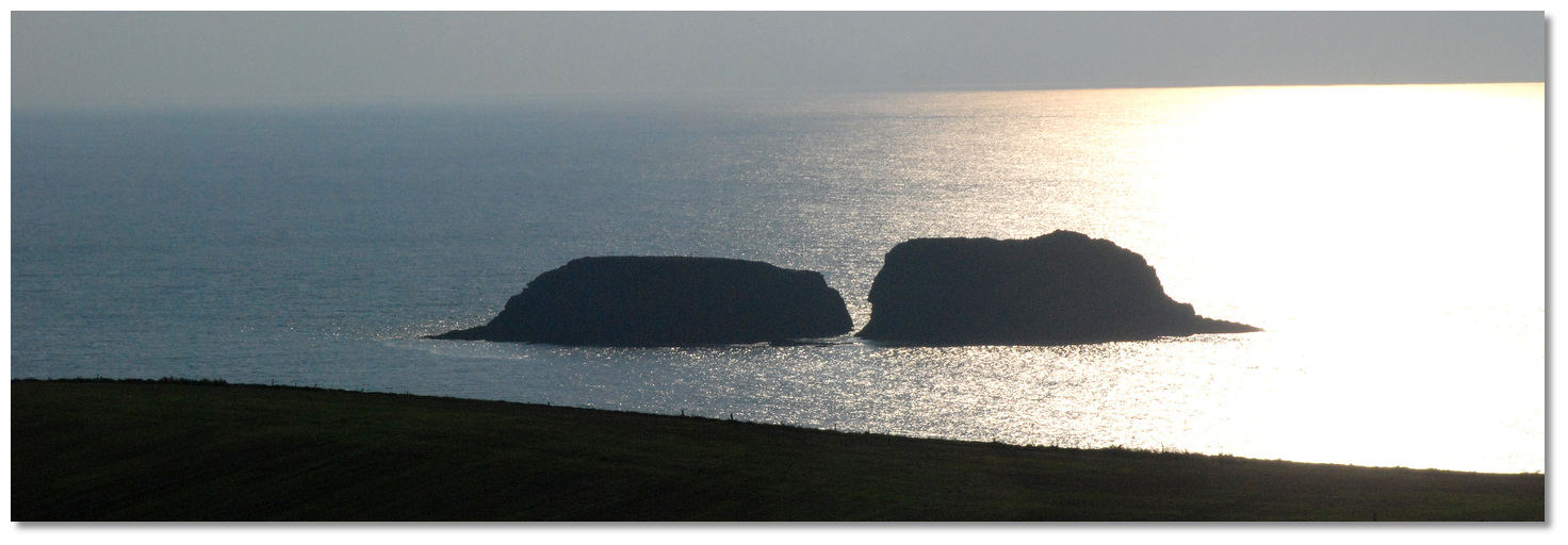 Big Sovereign shows its distinctive shape in silhouette
 Little Sovereign laying off the east point of Oyster Haven
 Oyster Haven within the entrance
 Kinsale Harbour as seen over James's Fort
 Kinsale Quay with its flanking marinas
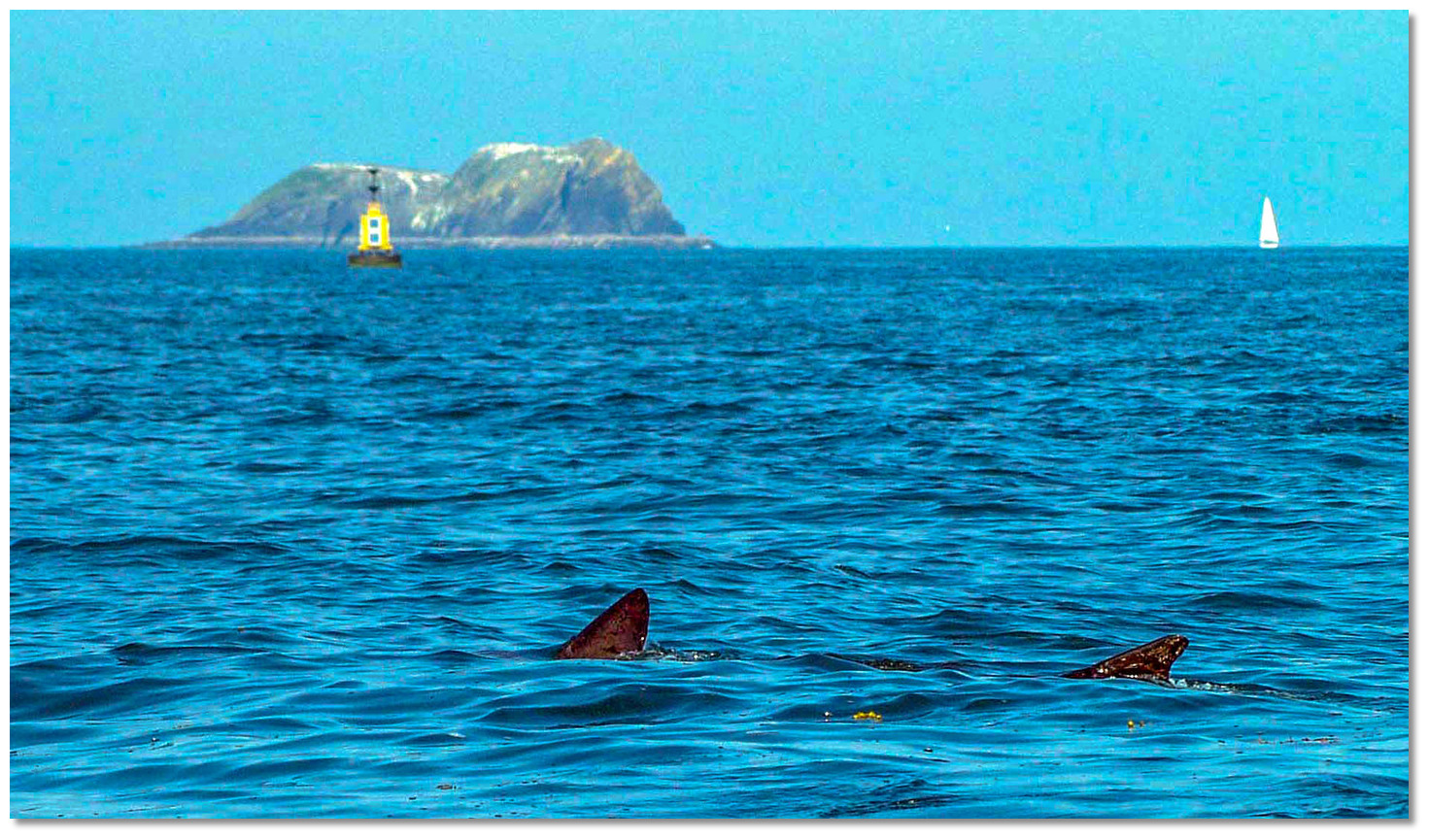 Entering Kinsale Harbour with a basking shark, Bulman and Big Sovereign to
 Charles Fort with its light on the eastern shore
 Kinsale
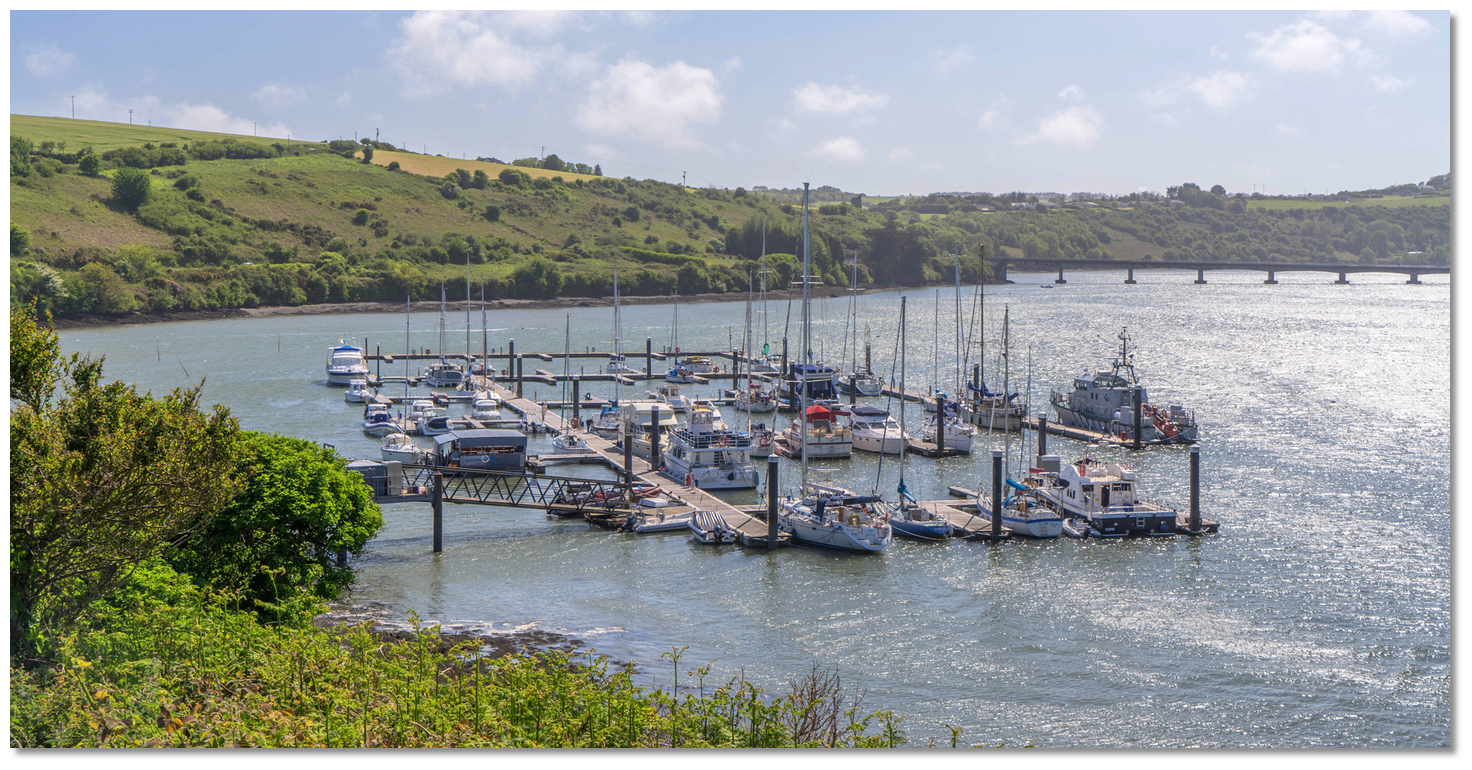 Castlepark Marina close upriver and opposite Kinsale
 Sandy Cove
 Old Head of Kinsale Headland and Holeopen East
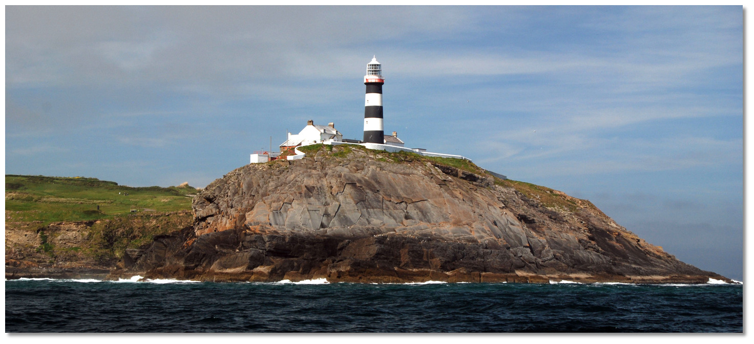 Old Head of Kinsale Lighthouse
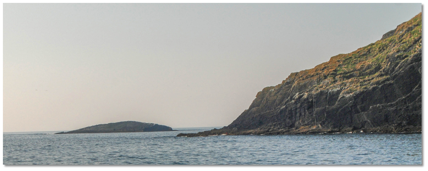 Bream Rock as seen from Holeopen Bay East
 Holeopen Bay West on the west side of the Old Head of Kinsale
 The head of Coolmain Bay
 Courtmacsherry Harbour
 Courtmacsherry's pier and visitor pontoon
 Horse Rock as seen from Blindstrand Bay with the Old Head just visible in the
 Horse Rock
 Wood Point Directional Light
 Barry's Point, Wood Point and the Courtmacsherry Buoy
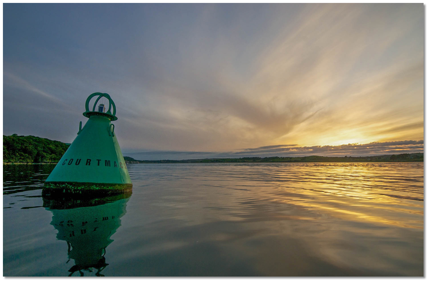 Courtmacsherry Buoy
 Broadstrand Bay
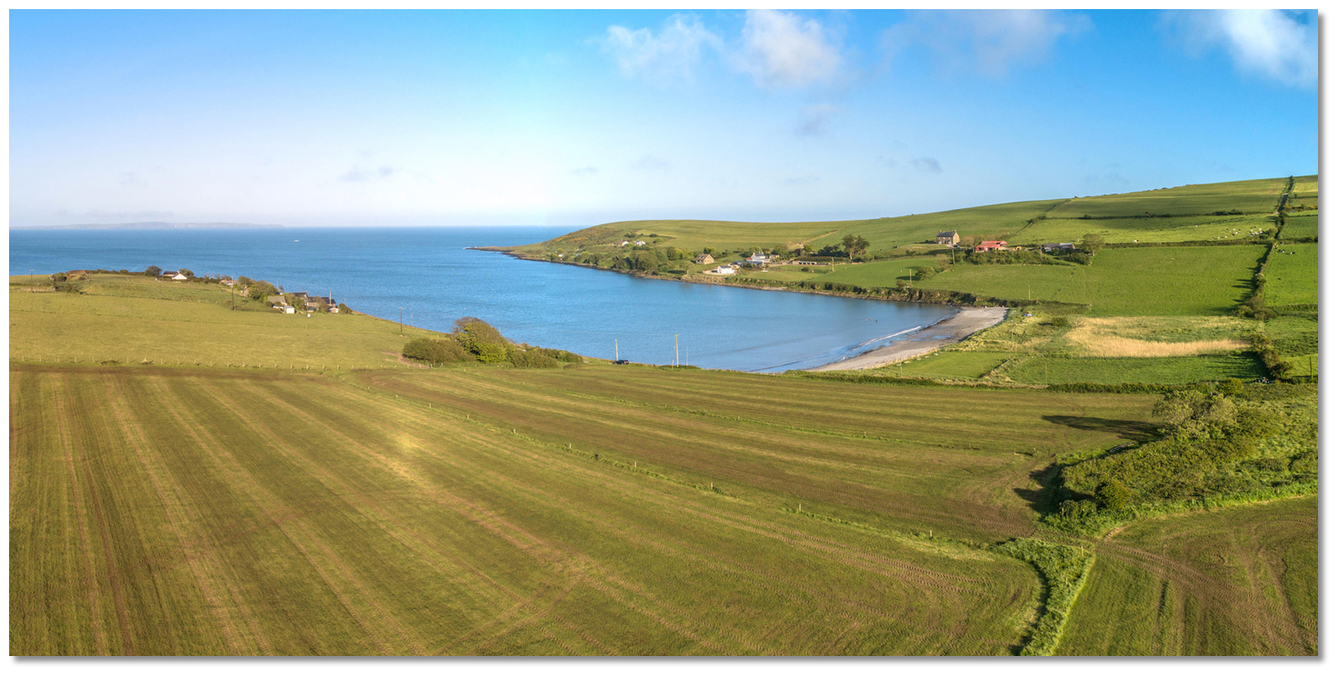 Blindstrand Bay
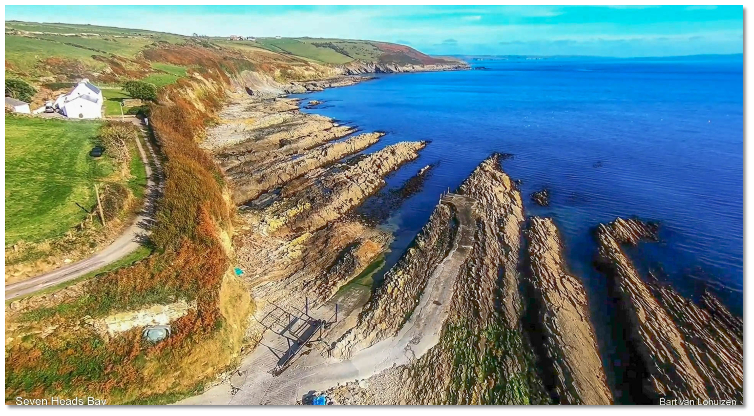 Seven Heads Bay seen over its small slip and pier
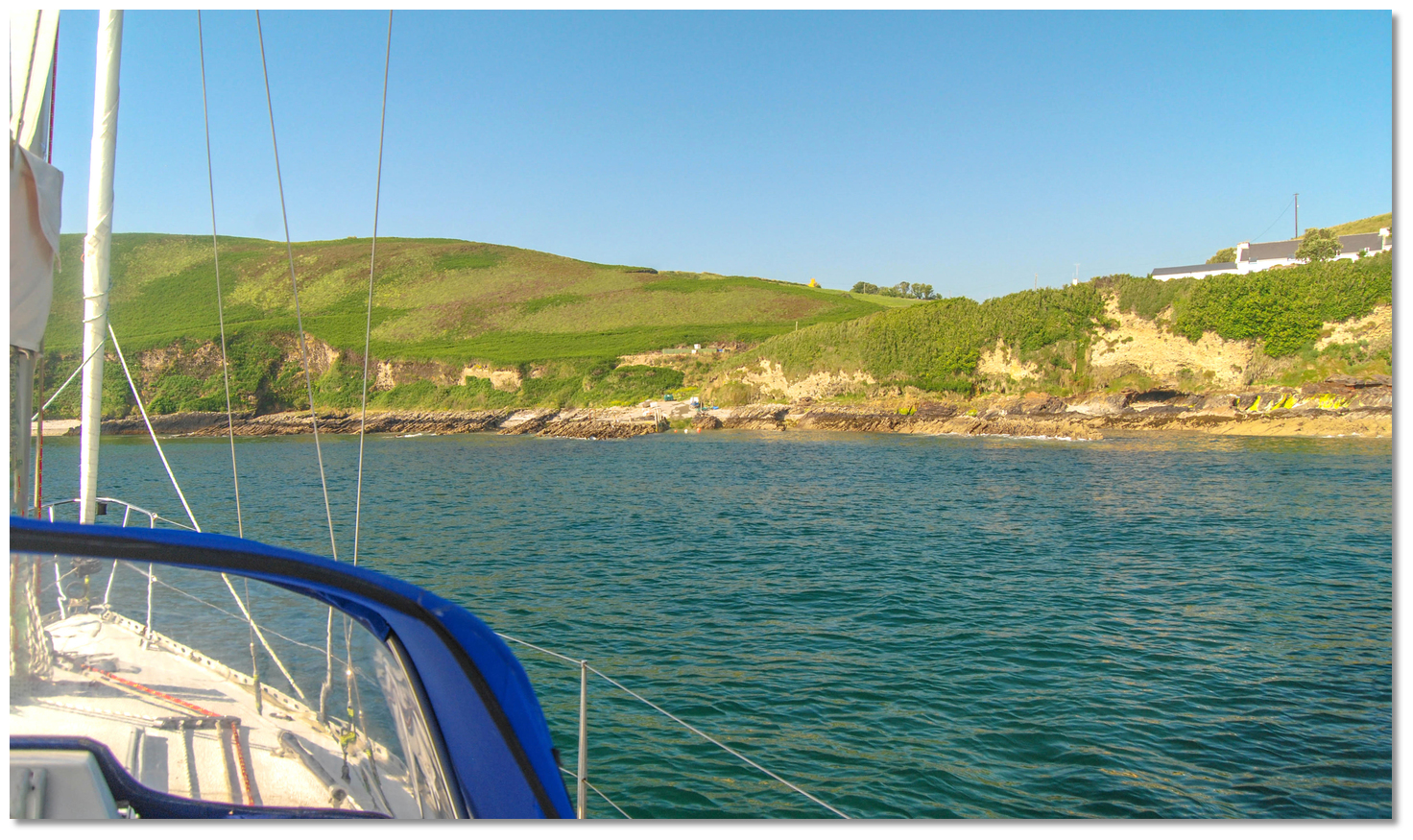 Seven Heads Bay with its small pier and slip seen from the anchorage
.jpg) Seven Heads with Cotton Rock seen breaking (right)
Seven Heads with Cotton Rock seen breaking (right) Seven Heads with its World War II watch stations and Signal Tower
 South Ring, Clonakilty
 The channel leading in from Ring Head as seen at low water
 Dunworley Bay as seen from the southwest
 Dunworley Bay
 Dunnycove Bay
 The slipway in the southwest end of Dunnycove Bay
 Dirk Bay as seen from the southwest
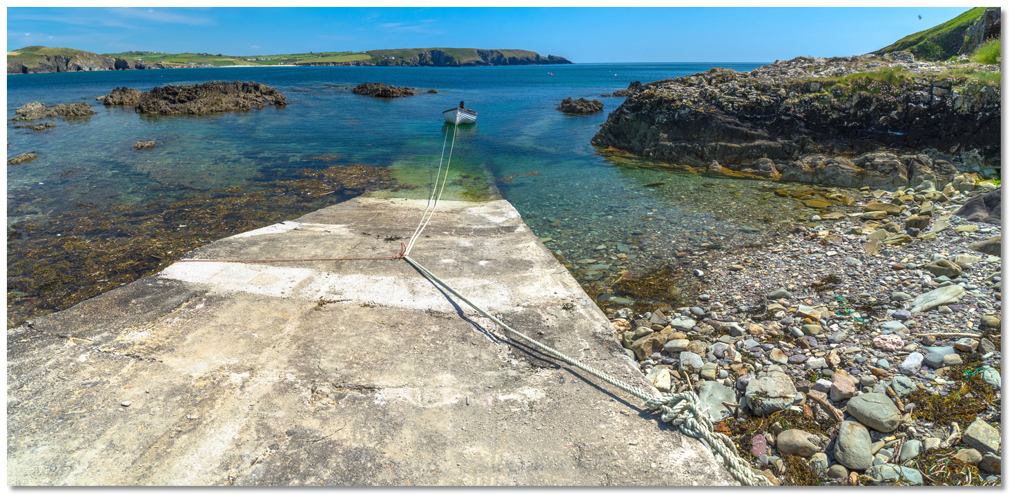 Dirk Bay's old coastguard slip
  Galley Head Lighthouse
 Galley Head with Doolic Rock as seen from the east
 Passing south of Galley Head
 Rosscarbery Inlet and the Cathedral spire just open of Creggan Point
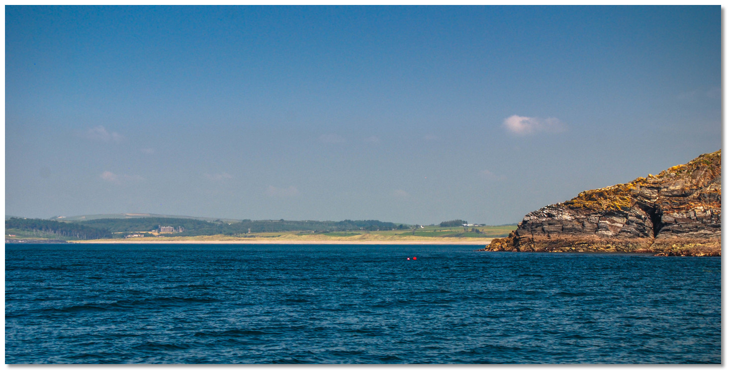 The conspicuous Long Strand opening around Galley Head
 The Rosscarbery Inlet
 Creggane pier close north of Downeen Point
 Mill Cove as seen from the southwest
 The most prominent Black Rock standing out from the shore between Mill Cove and
 Tralong Bay
 The slip on the west side of Tralong Bay
 Glandore Harbour entrance as seen from the southwest
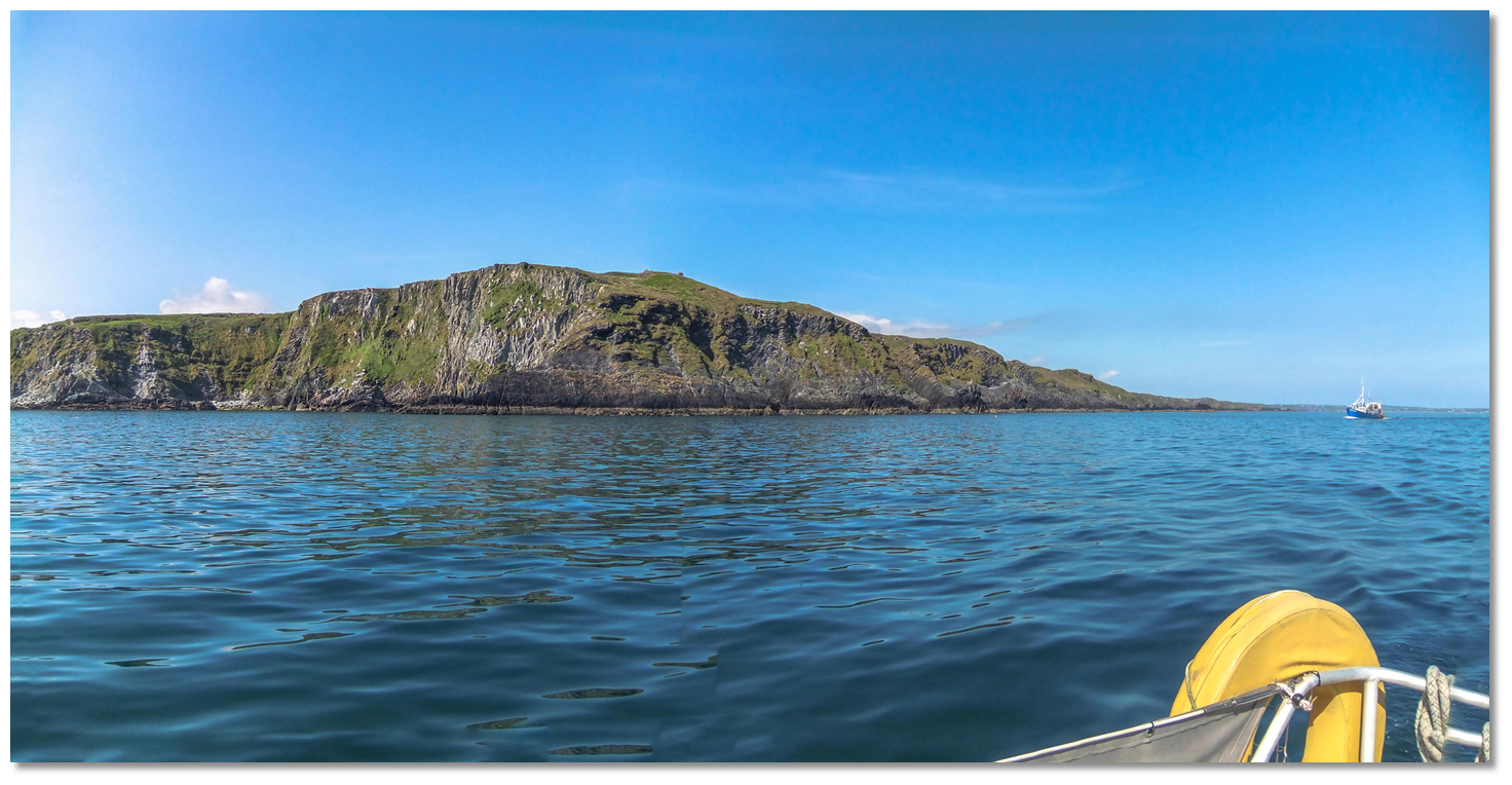 The bluff 79-metre high Goat’s Head
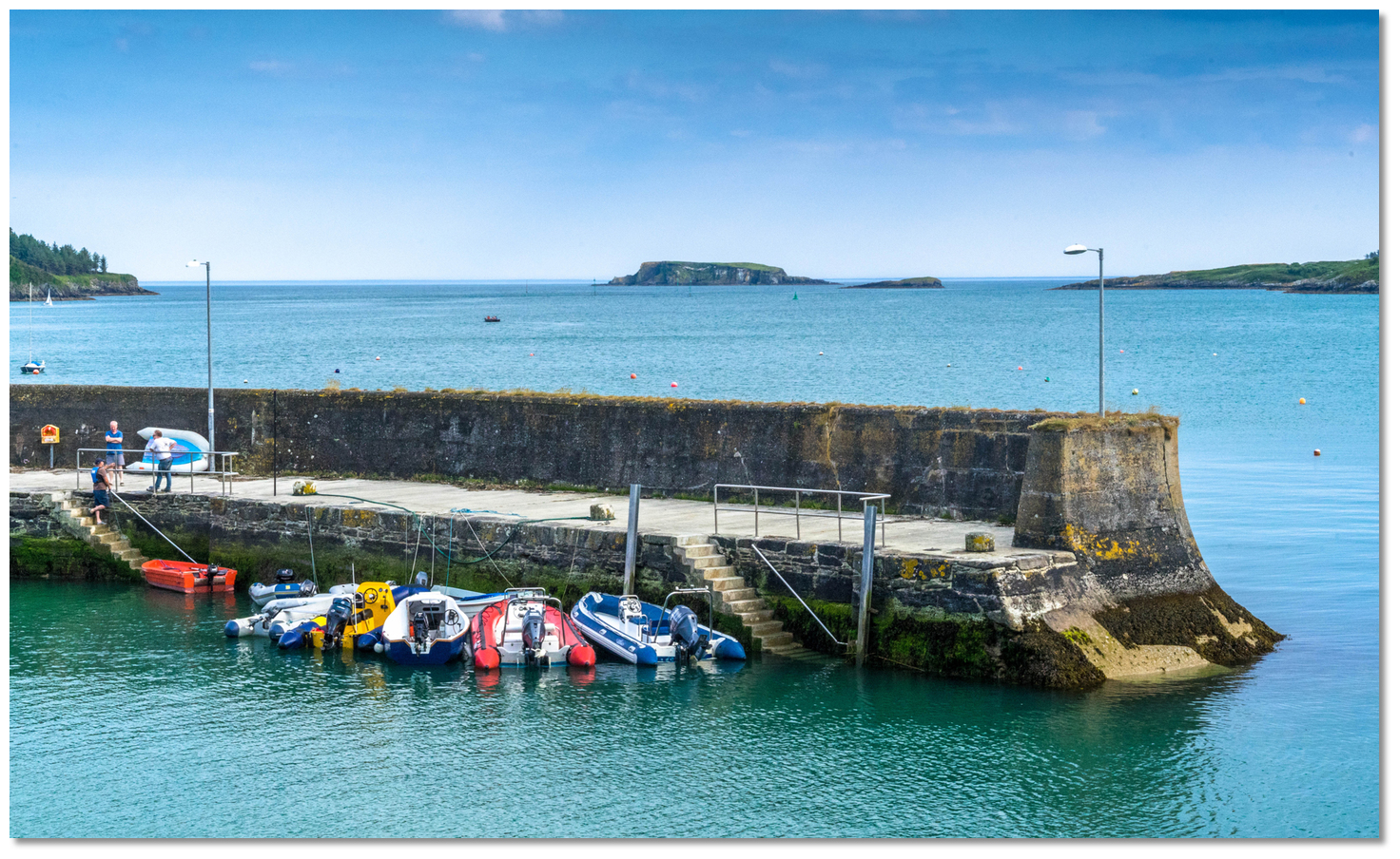 Adam and Eve islands as seen from Glandore Quay
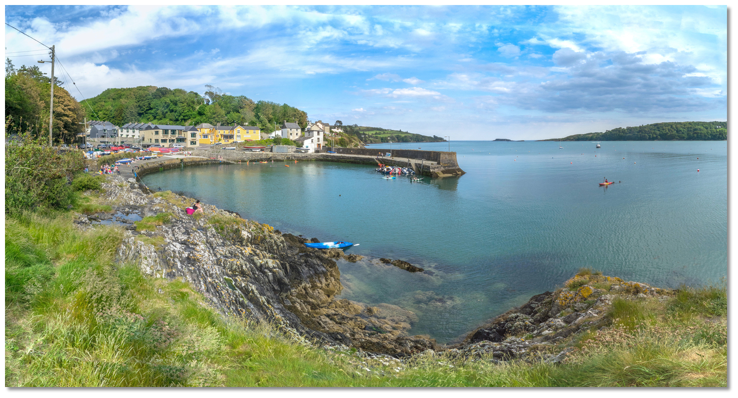 Glandore quay and village
  Union Hall's fishing quays
 Rabbit Island and Rabbit Island Sound
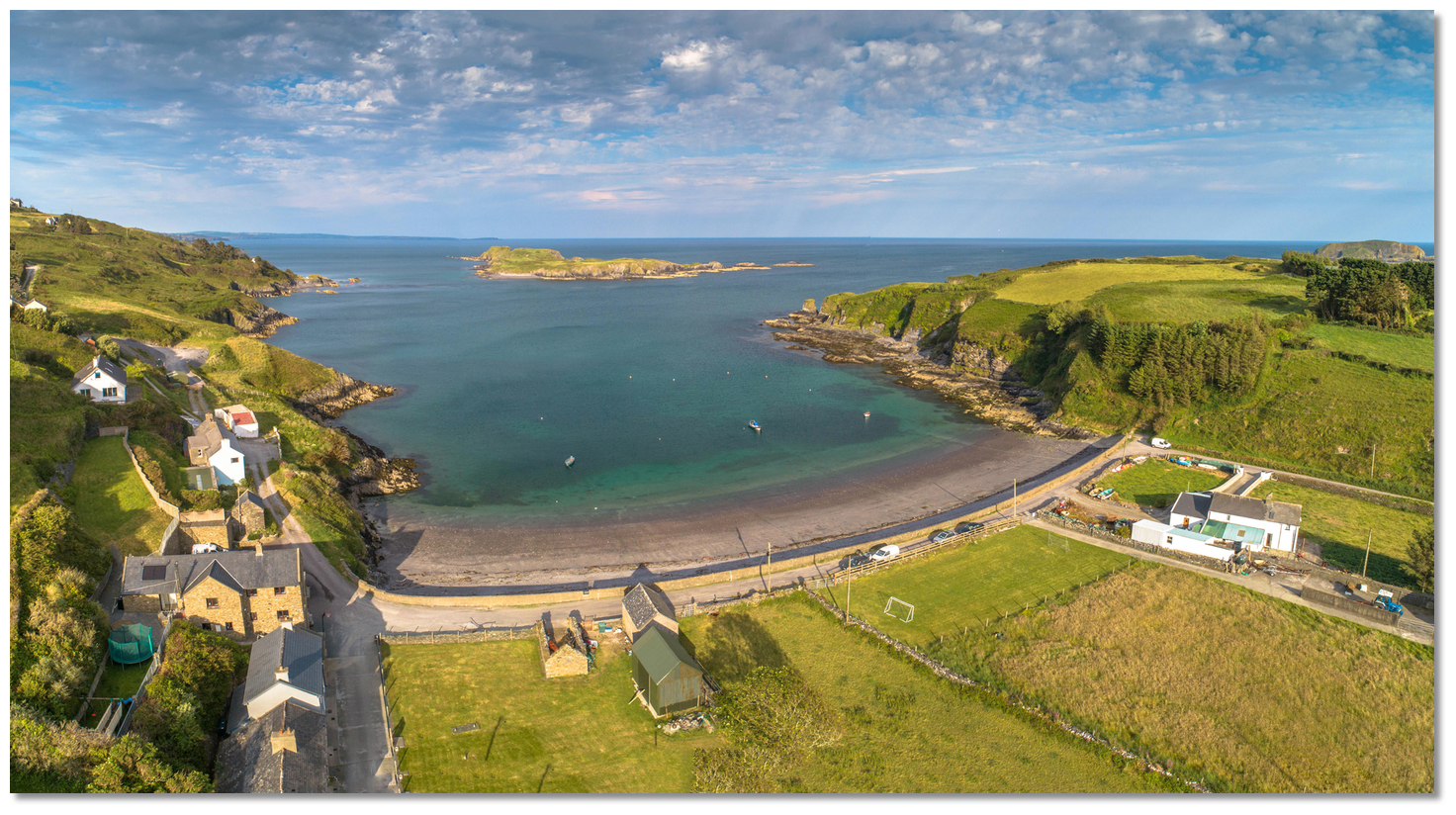 Squince Harbour as seen from the west
 Belly Rock breaking
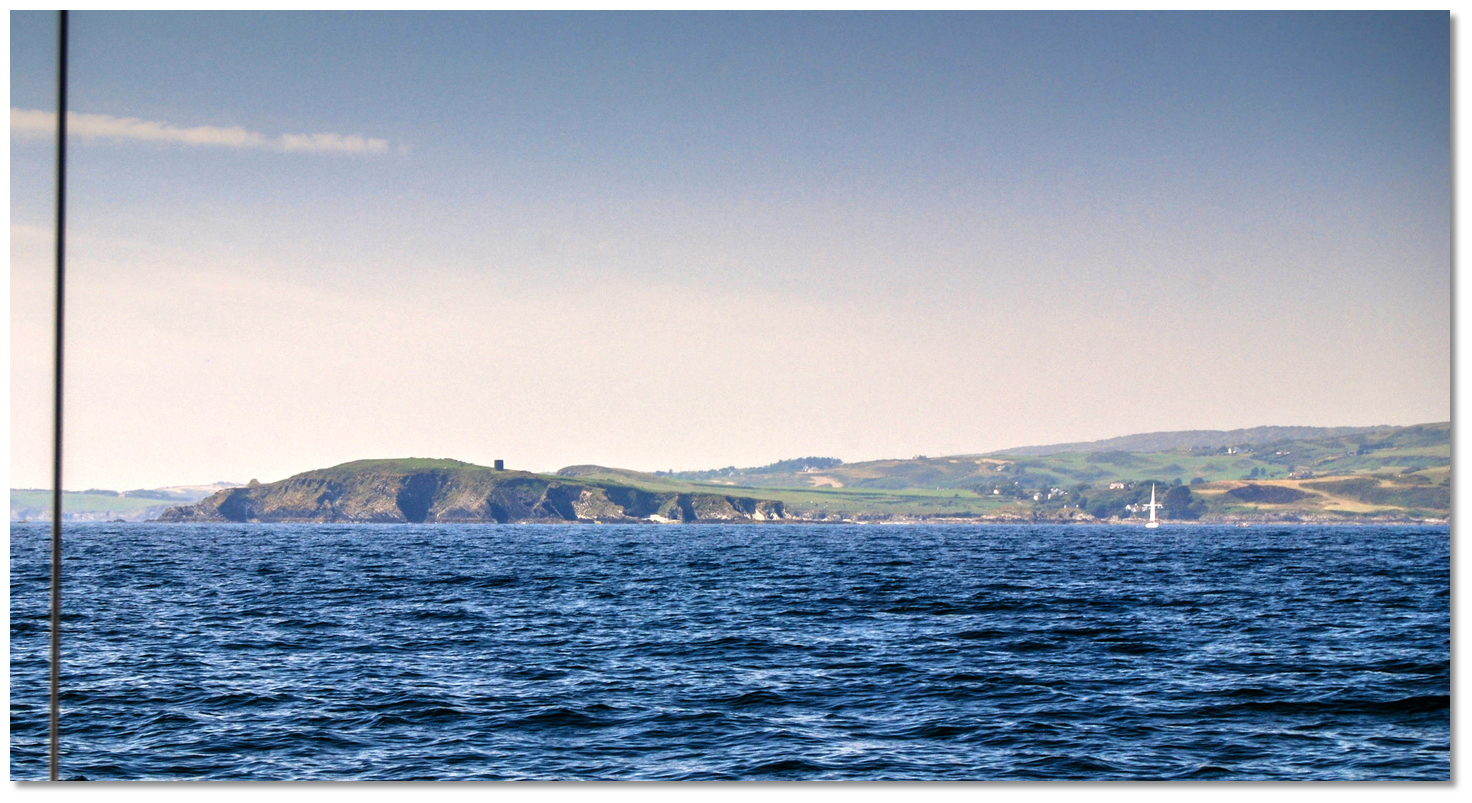 Horse Island with its prominent ruined tower
 Blind Harbour as seen from the west
 High and Low Islands as seen over Rabbit Island
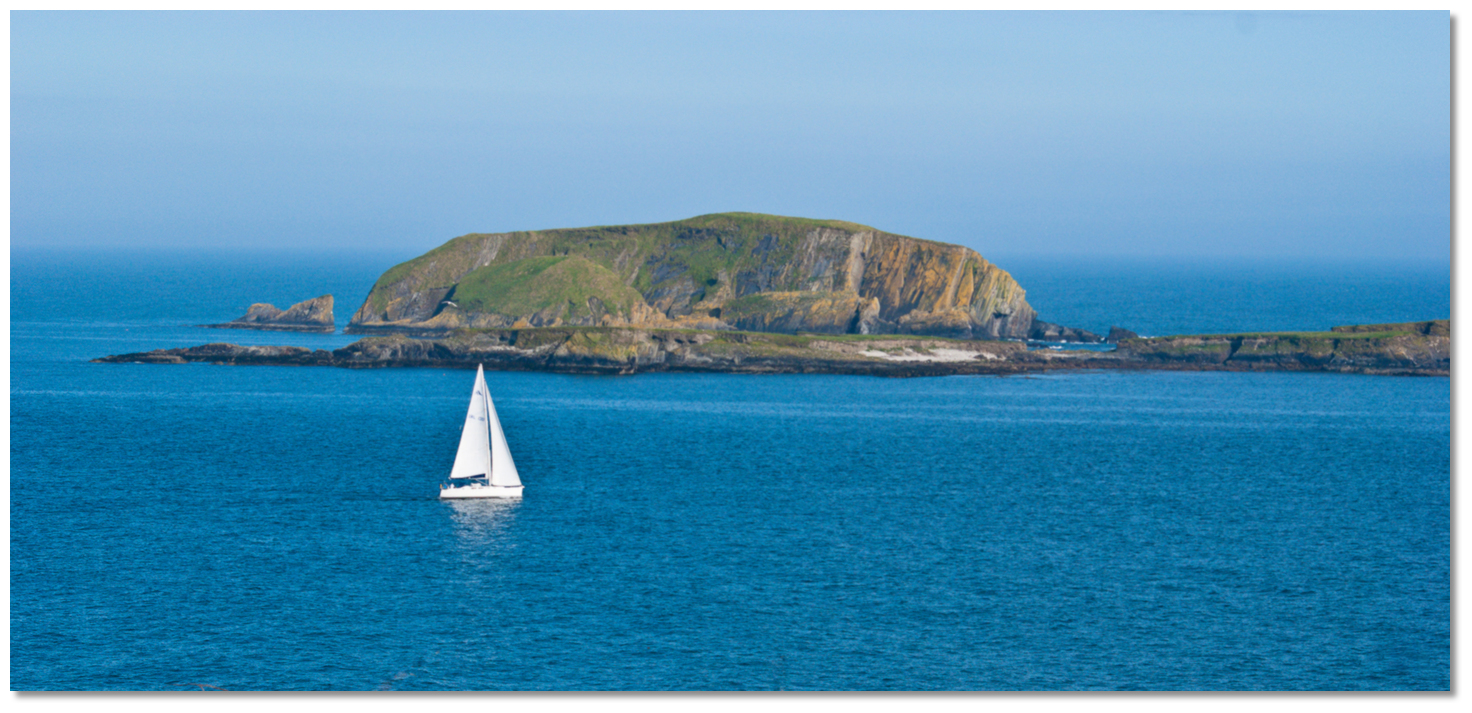 Passing through Big Sound between High and Low Islands
 Castle Haven
 Castle Haven's Pier
 Yacht approaching the entrance to Castle Haven as seen from within
 The anchorage above Cat Island
 Toe Head can be identified by its old signal tower
 The Stags
 Toehead bay
 Barloge Creek between Bullock Island and the Carrigathorna headland
 Barloge Creek
 The entrance to Barloge Creek
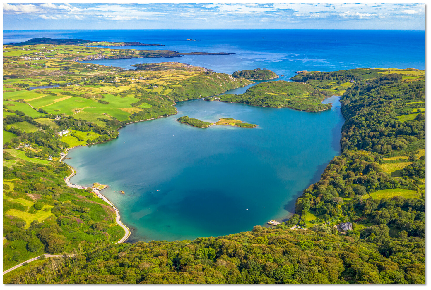 Lough Hyne situated above Barloge Creek
 Reenabulliga with Kedge Island and Toe Head in the backdrop
 Baltimore Harbour
 The entrance to Baltimore Harbour
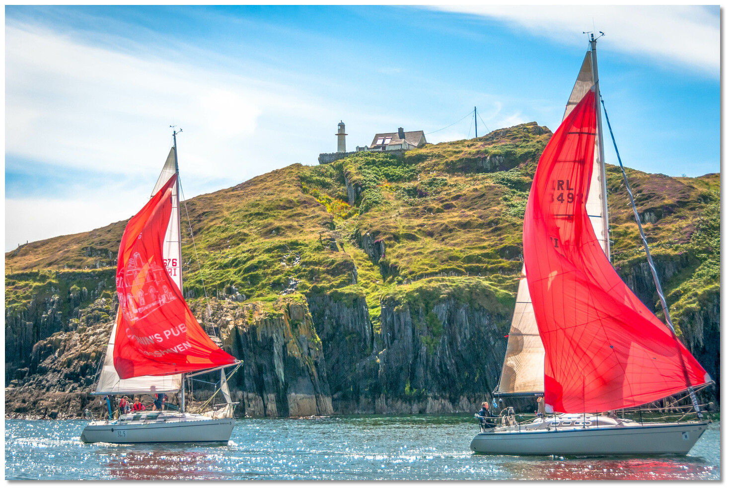 Yachts in the Baltimore entrance with Barrack Point in the backdrop
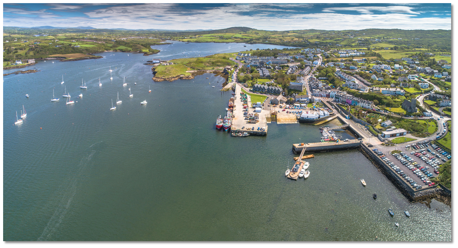 Baltimore and Church Strand Bay
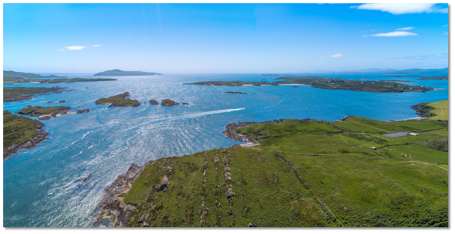 The seaward approach to the River Ilen
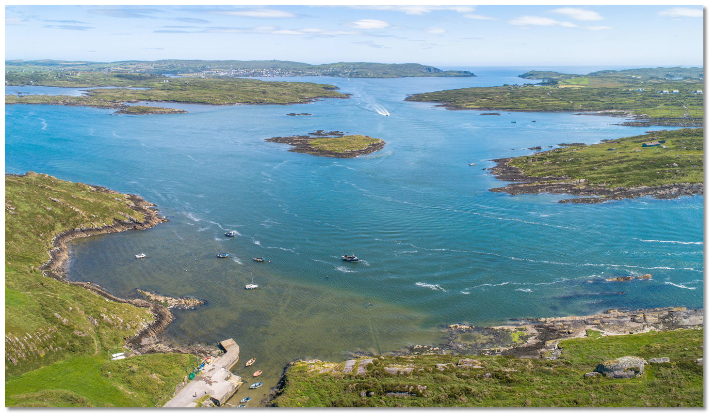 Vessel approaching the Ilen from Baltimore Harbour via The Sound
 route also provides a list of waypoints that assist pilotage through both these approaches. The river offers several anchorages on its north-eastward path to Skibbereen and several anchoring opportunities off its seaward approach.
  White Beach on the east side of East Calf Island
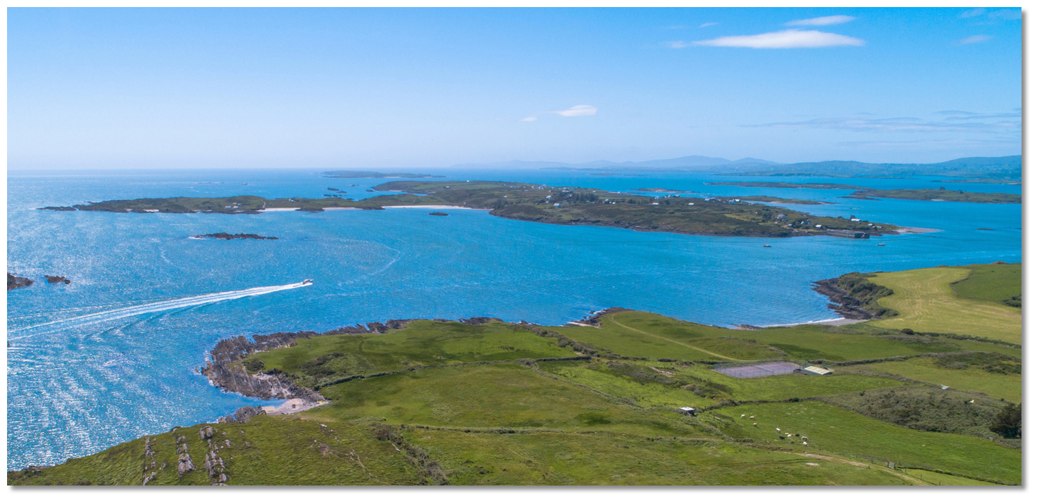 Heir Island with boat exiting Ilen River in foreground
 Boats anchored off Trá Bán
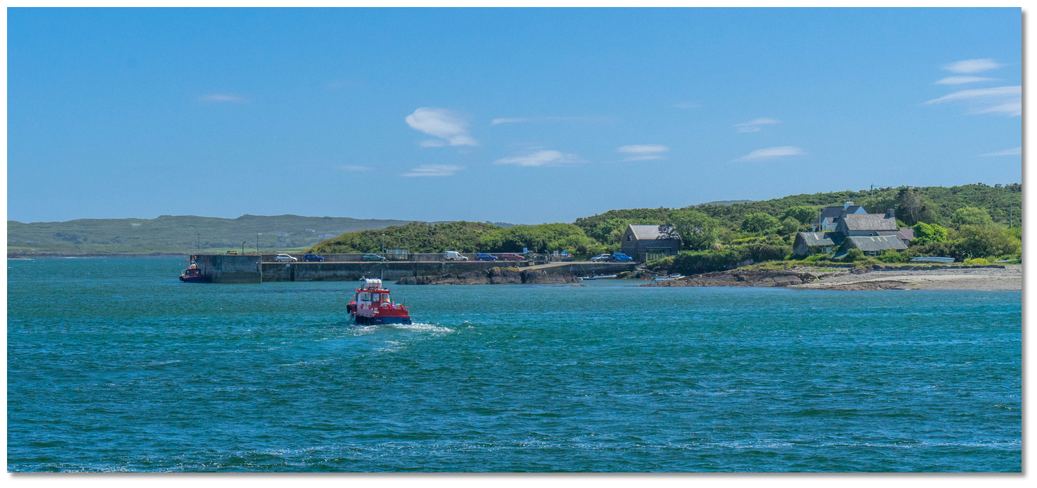 East Pier Heir Island
 Rincolisky Harbour between Cunnamore Point and the Turk Head promontory
 Cunnamore Pier
 Turk Head anchorage behind The Catalogues
 Quarantine Island opposite Turk Head Quay
 Inane Point River Ilen
 Yacht anchored at Reena Dhuna
 Oldcourt Boatyard overlooking the river and historic castle
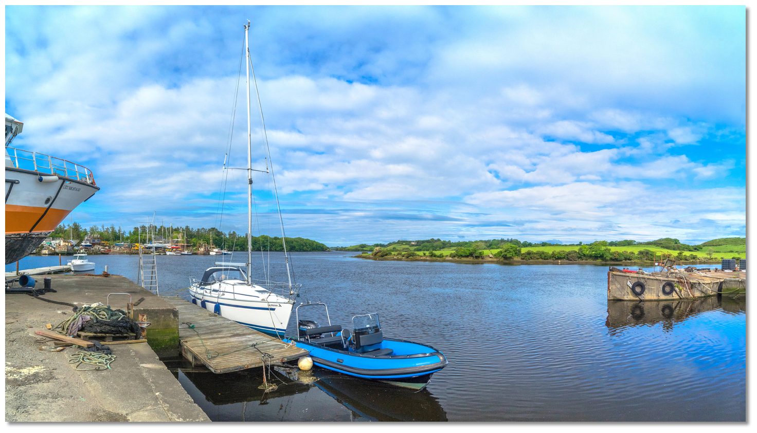 Yacht alongside the boatyard pontoon at Oldcourt Boats
 Mount Gabriel with its Radar domes
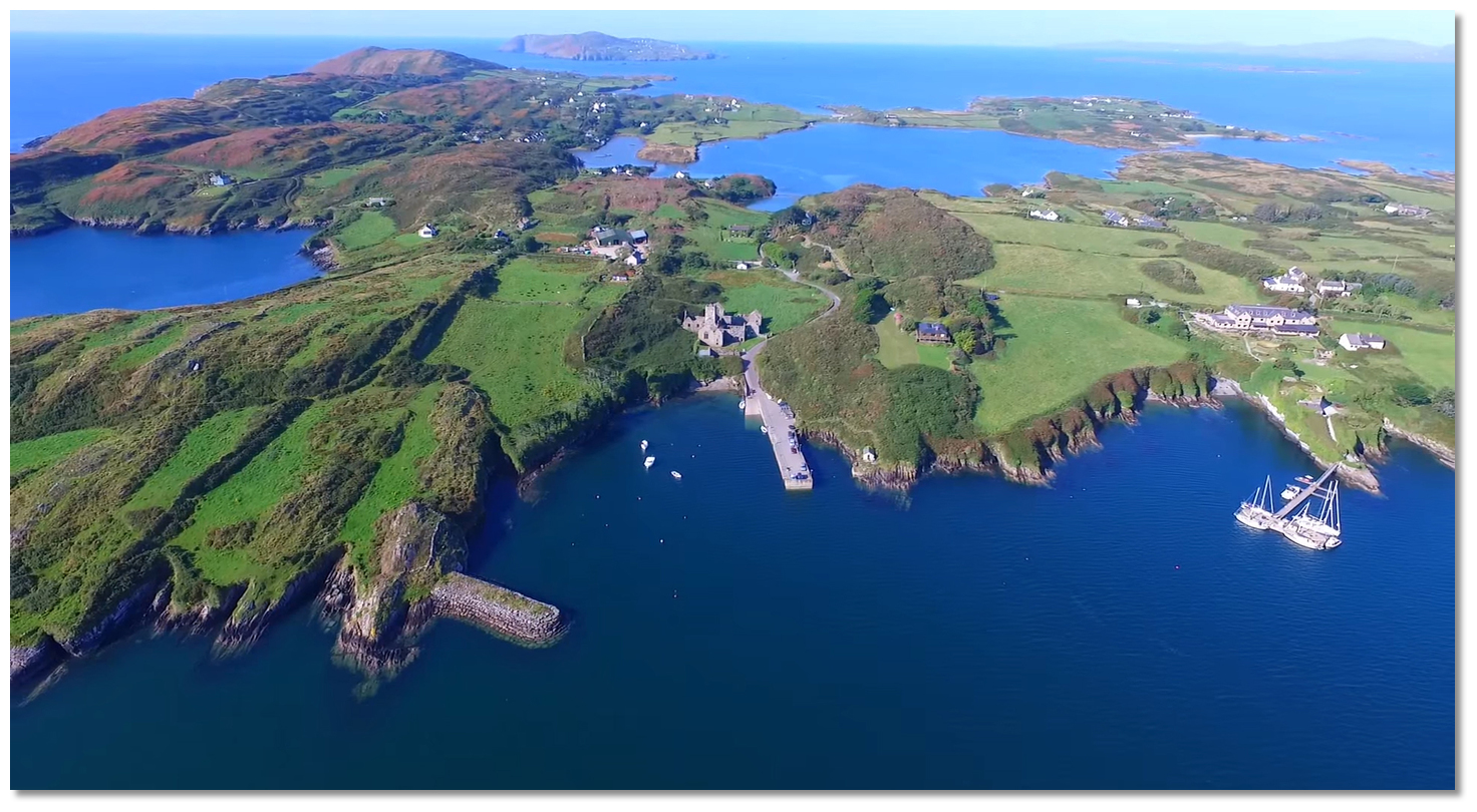
 The view over Long Island Bay and Roaringwater Bay from Mount Gabriel
 The view westward over the southern entrance to Baltimore Harbour
 Sherkin Island's pier in Baltimore Harbour just below the Abbey
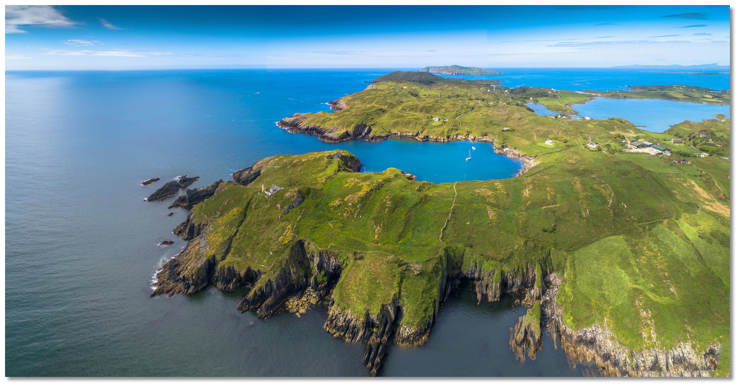 Horseshoe Harbour on the southeast end of Sherkin
 The ruins of the old lighthouse located about midway along the south side of the
.jpg) The marina in North Harbour (Trawkieran)
The marina in North Harbour (Trawkieran) Poulgorm Bay overlooked by Kilcoe Castle
 Kilcoe Castle as seen at dusk
 Ballydehob Bay
 Yacht dried out alongside Ballydahob Quay
 Toorane Rocks showing at low water
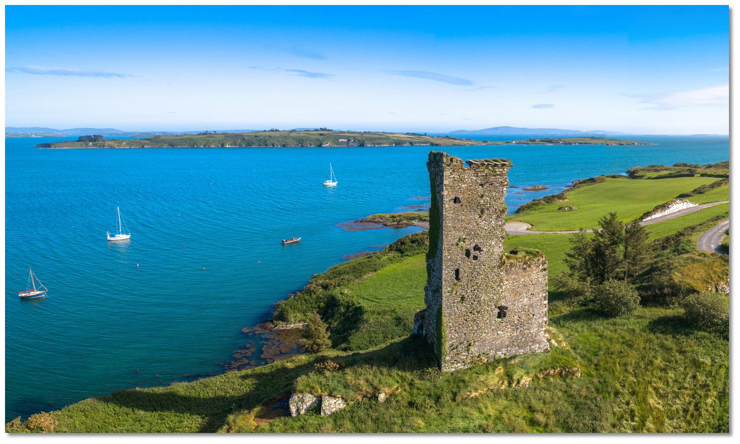 Rossbrin Castle overlooking the Horse Island Channel from the mainland
 Rosbrin Cove
 Castle Island
 Castle Island's pier
 Castle Island's southern anchorage
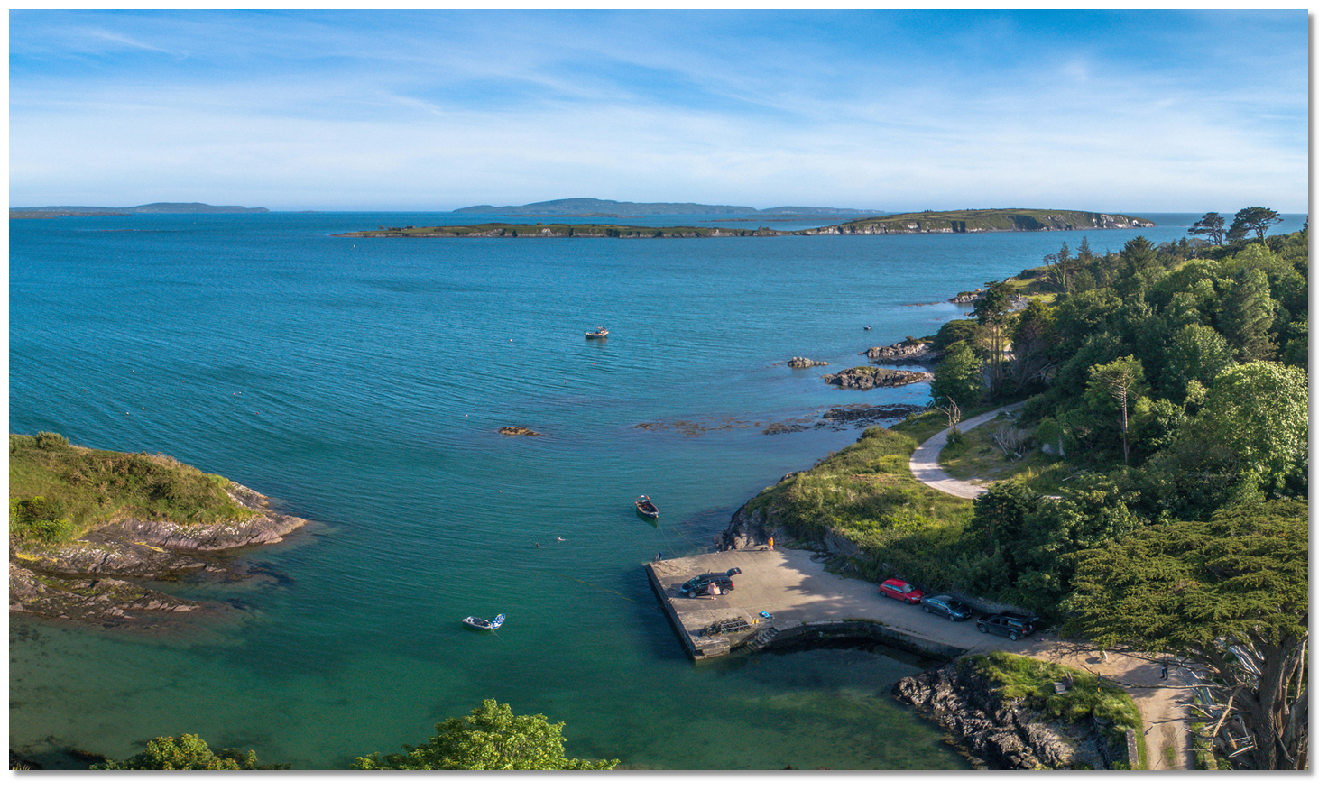 Dereenatra Pier looking out over Castle Island
 Schull Harbour
 Schull Pier with its dingy pontoons
 Amelia Rock Buoy just visible behind a small boat passing Copper Point
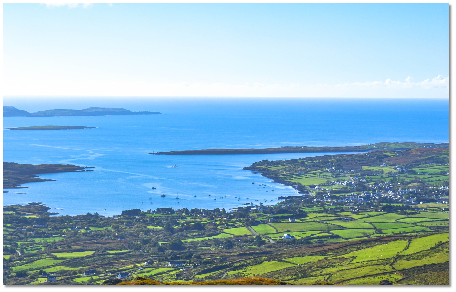 Long Island and Copper Point on the western approach to Schull Harbour
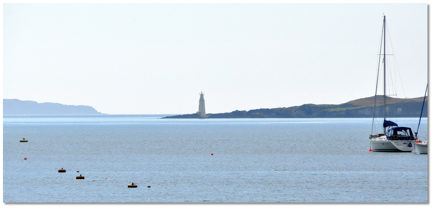 Copper Point light structure as seen from Schull Harbour
 Long Island Channel as seen from above Colla Quay on the mainland
 Cush Spit buoy with the pier on Long Island in the backdrop
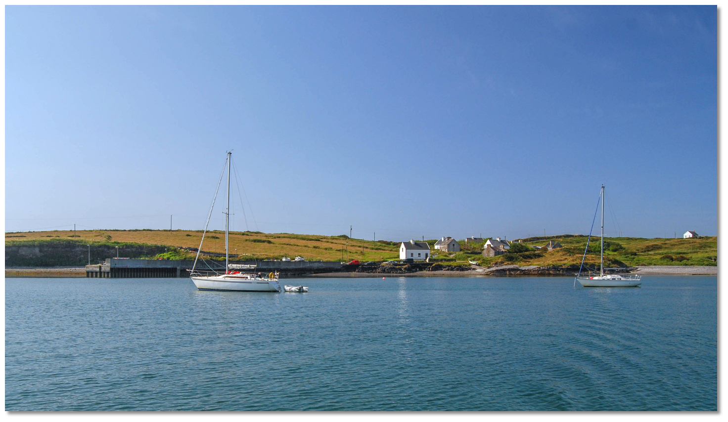 Yachts anchored off Long Island's pier
 Colla Pier set into a bight on the mainland coast
 Coney Island and Croagh Bay as seen from eastward
 The landing beach on the north-eastern corner of Coney Island
  Croagh Bay
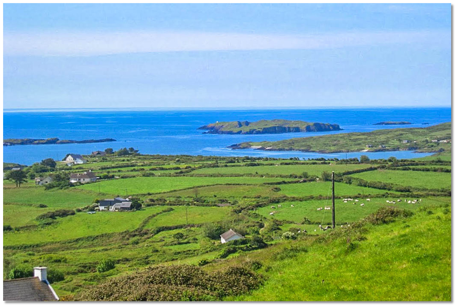 Long Island, Goat Island and Illaunricmonia as seen from the mainland
 Passing the Dromadda Rocks
 Westbound vessel heading for Goat Island and the sounds
 Castle Point with Crookhaven in the backdrop
 Castle Point as seen from seaward
 Duharrig as seen from the north in silhouette
 Toormore Cove
 Carrigmore Bay
 The Amsterdam Rocks as seen from an approach to Toormore Bay
 Goleen as seen at low water
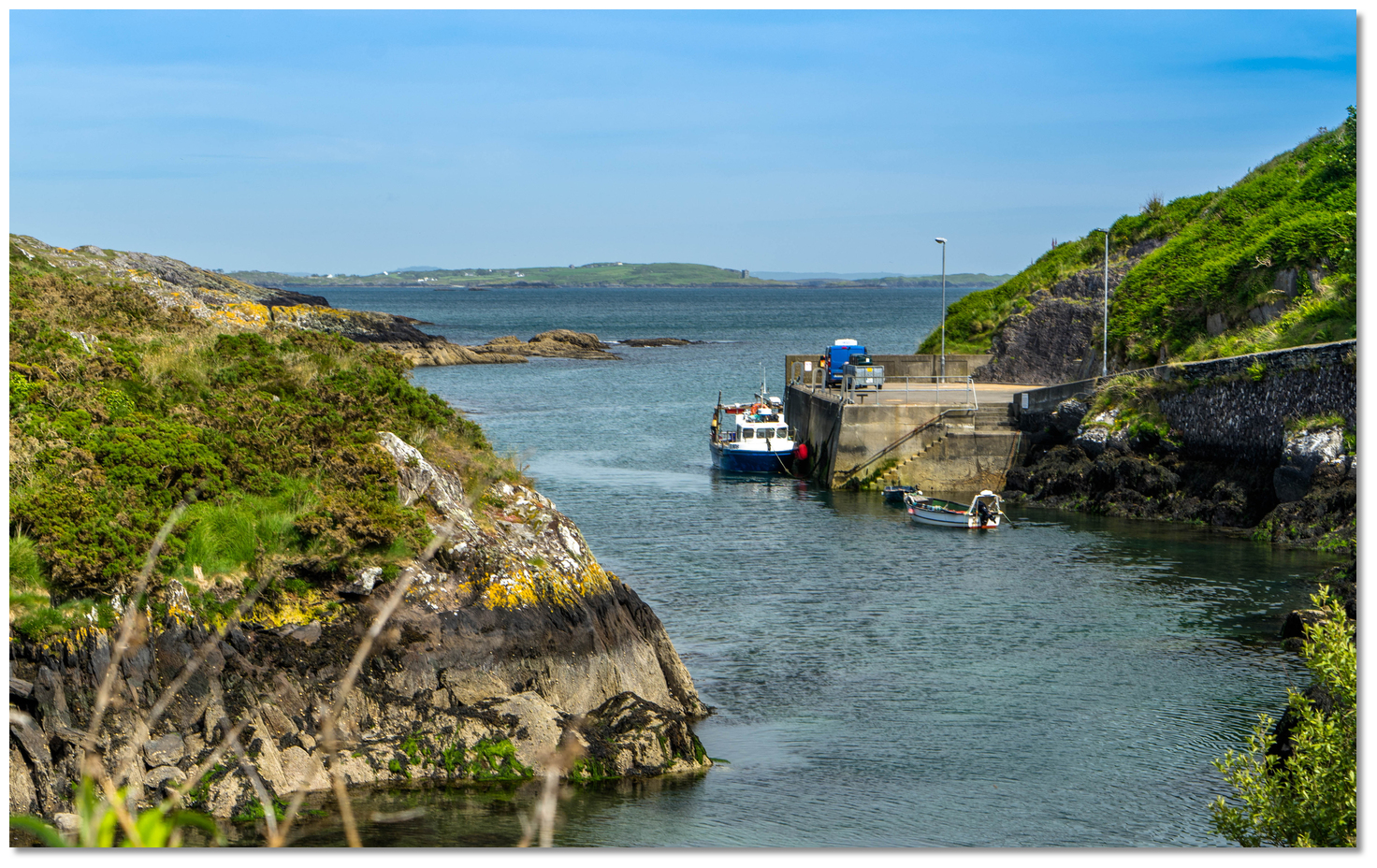 Castle Point as seen out through the entrance to Goleen
 Crookhaven Harbour
 Crookhaven as seen from Brow Hill
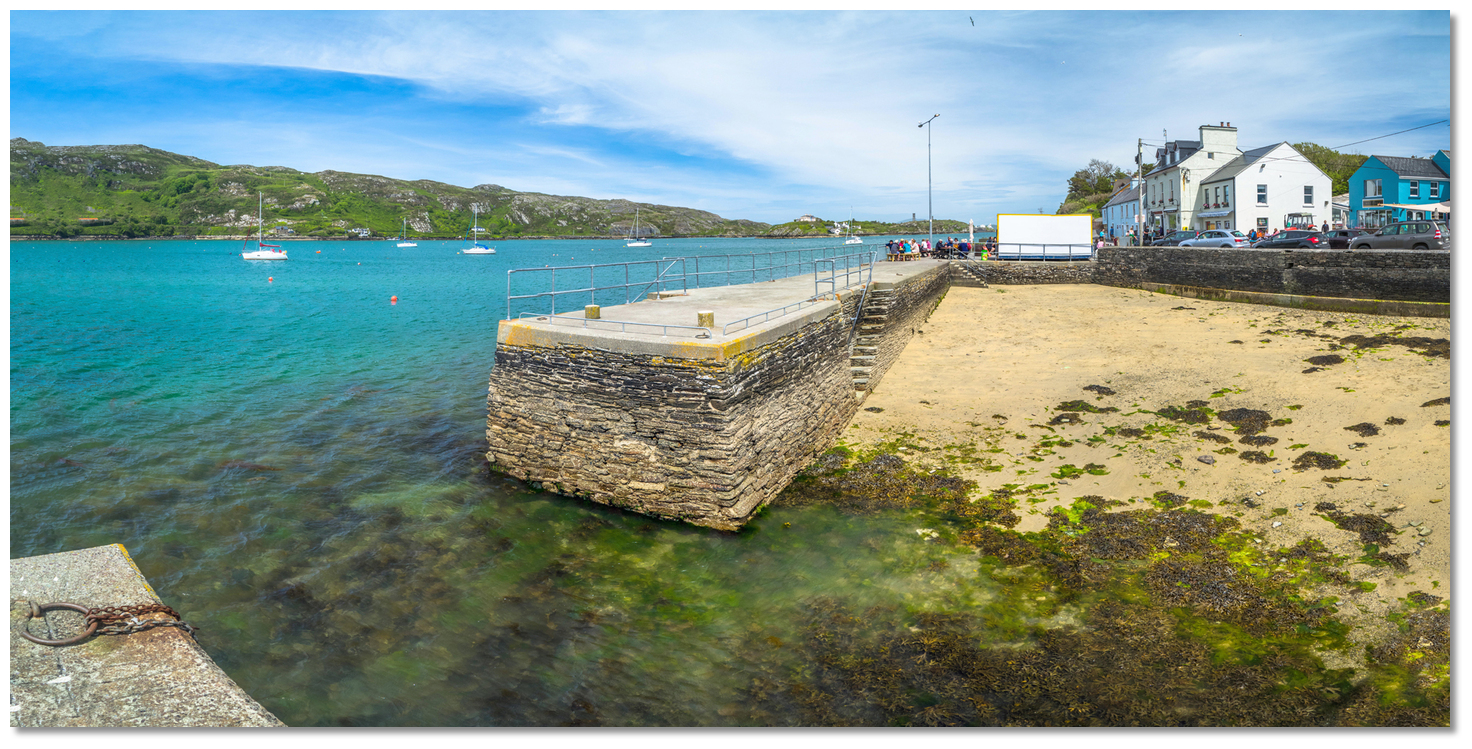 Crookhaven's quay which bustled with activity during Victorian times
 Crookhaven village and pier about a mile within the inlet
 Yacht entering Crookhaven Harbour
 Crookhaven Lighthouse
 Streek Head as seen over the Alderman Rocks
 Southbound yacht passing Brow Head
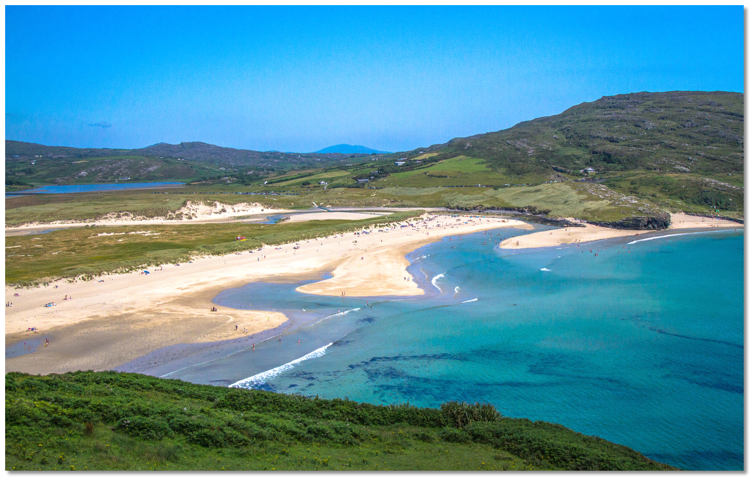 Barley Cove
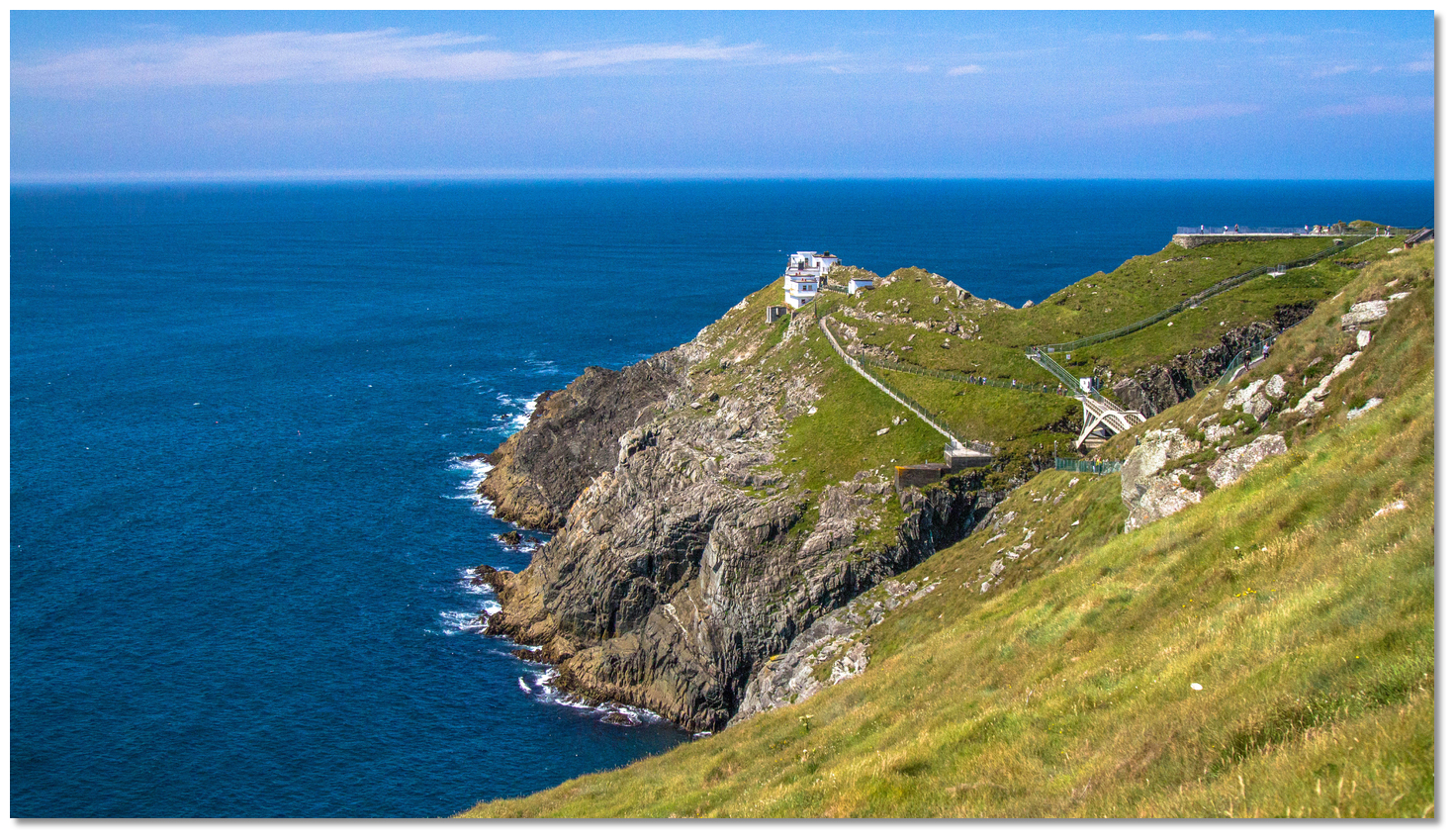 Mizen Head as seen from the mainland
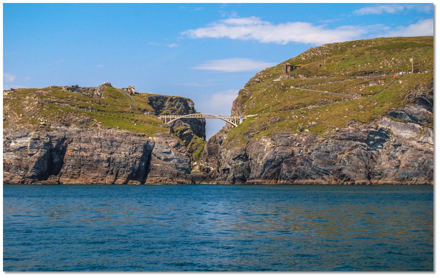 Bridge spanning the chasm to Cruckaun Island
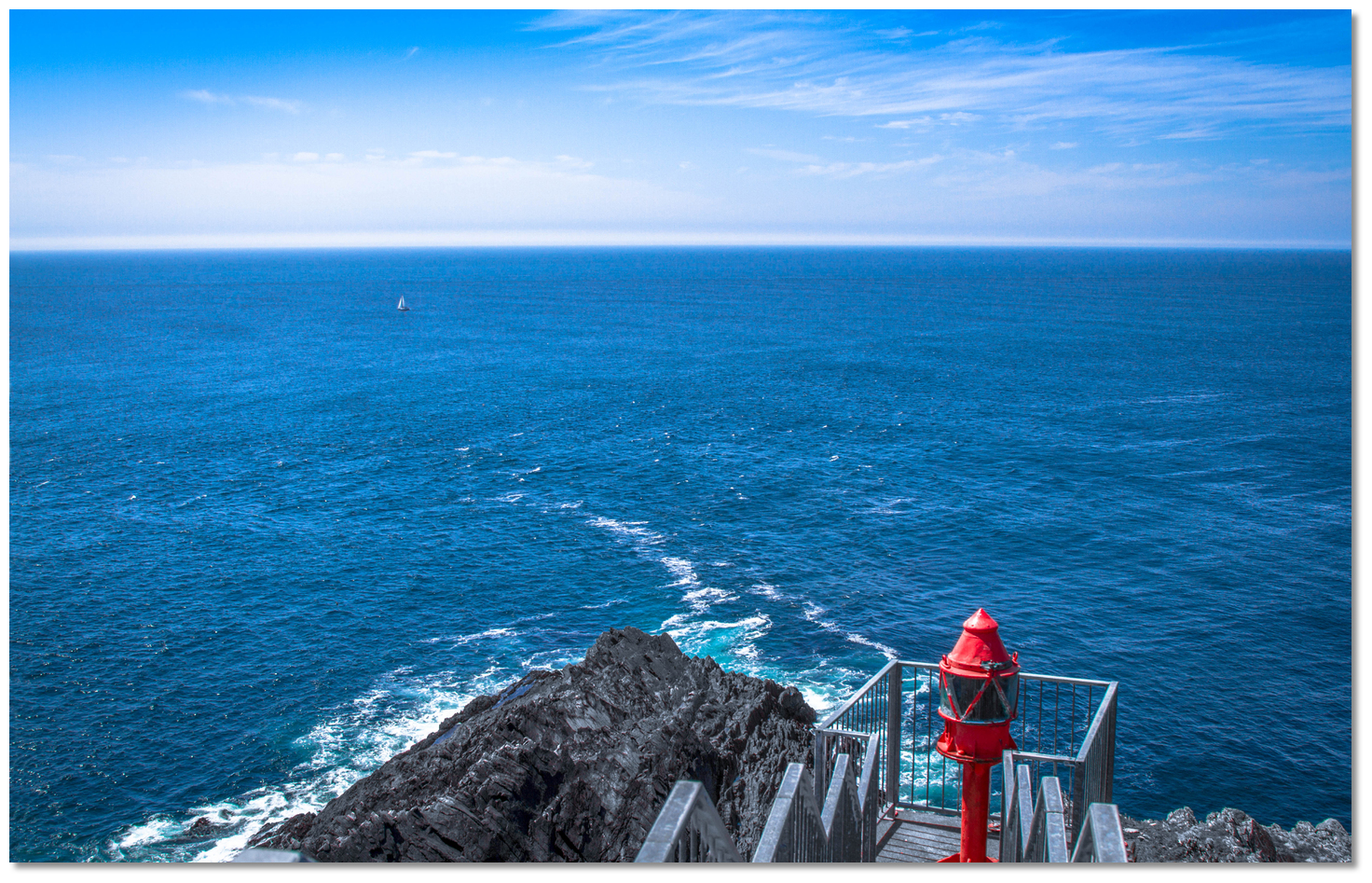 The view from Mizen Head light with rough water over the rock at its foot
 Mizen Head as seen from seaward